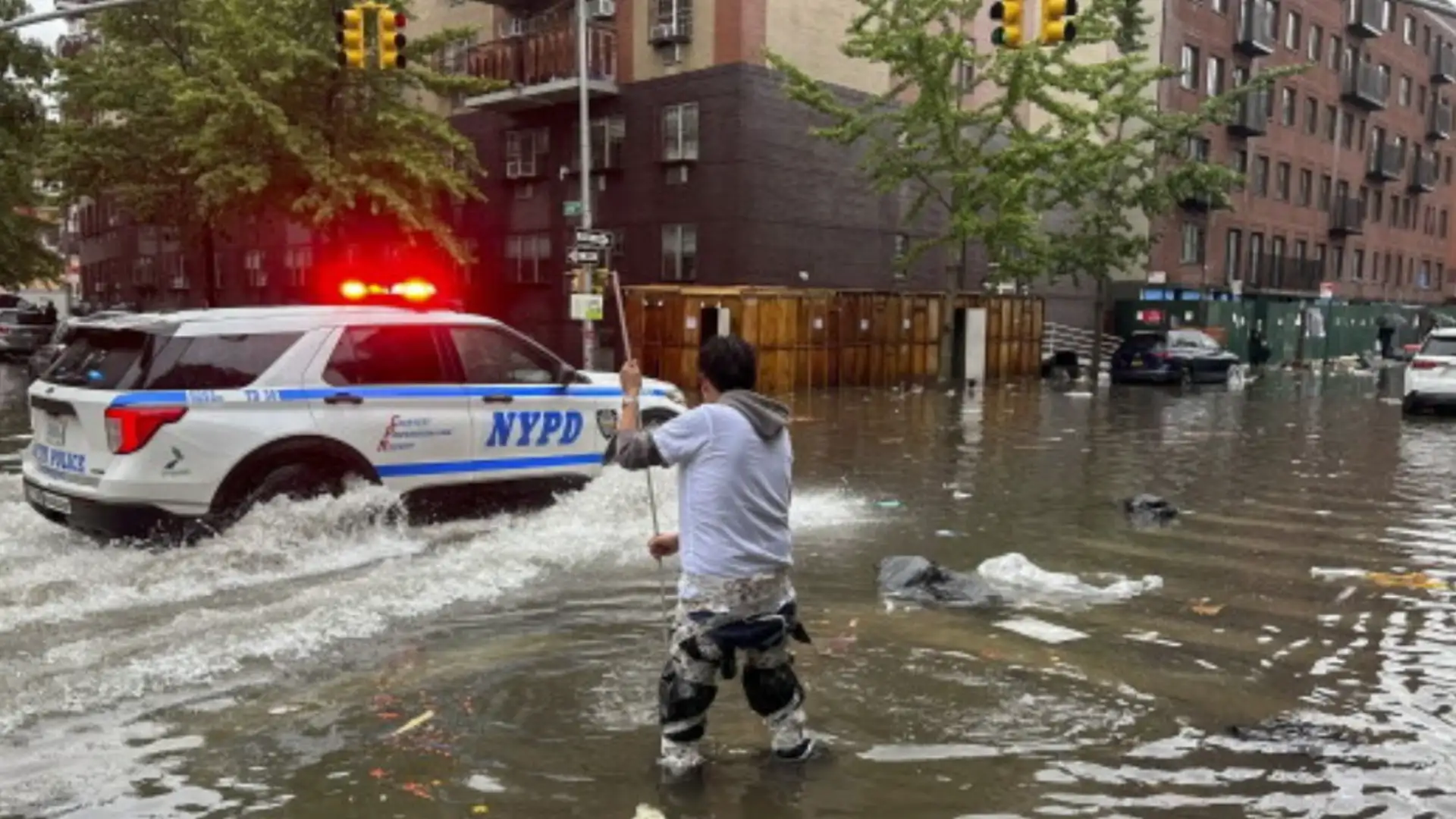
New York City and large parts of the Northeast are under a Flood Watch as a powerful storm system threatens to bring life-threatening flash flooding, widespread travel disruptions and hundreds of flight cancellations through Wednesday morning. Officials have urged residents to avoid unnecessary travel, stay away from flooded roads and subway stations, and prepare for rapidly changing weather conditions.
According to the National Weather Service, the Flood Watch covers New York City, Long Island, the Hudson Valley, much of Connecticut, northern New Jersey and eastern Pennsylvania. Slow-moving thunderstorms are expected to produce intense rainfall, increasing the risk of flash flooding across the region.
2 to 5 inches of rain expected
Forecasters say many areas could receive between 2 and 5 inches of rain, while isolated downpours may dump 2 to 3 inches in just one hour, overwhelming drainage systems and flooding roads, basements and low-lying neighborhoods.
The heaviest rainfall is forecast for Tuesday afternoon and evening. Parts of the Catskills could receive as much as 6 to 8 inches of rain within a few hours.
The US Weather Prediction Center has placed New York City, Long Island and the Mid-Hudson region under a moderate risk of excessive rainfall, with surrounding areas facing slight to marginal flood risks.
Hundreds of flights canceled and delayed
The approaching storm has already disrupted air travel across the New York metropolitan area. Hundreds of departures have been canceled at major airports, including John F. Kennedy International Airport, LaGuardia Airport and Newark Liberty International Airport, with officials warning that additional delays and cancellations are likely as the weather system moves through the region.
Travelers have been advised to check their flight status before heading to the airport.