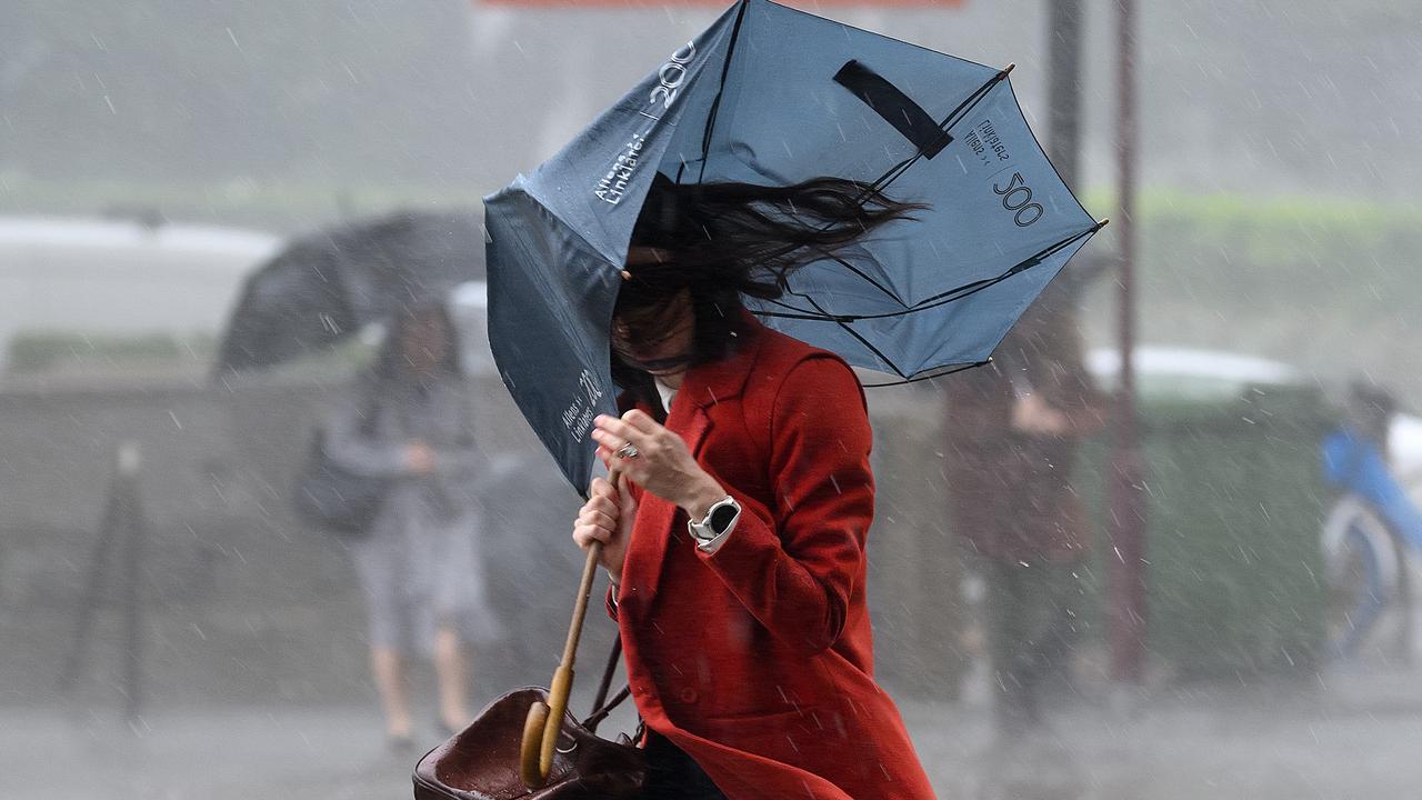
A brief reprieve from one of the wettest months on record has arrived as a much-discussed flood mitigation measure is dismissed as a "boondoggle".
Relatively stable conditions are forecast for NSW over the weekend and into early next week after days of heavy rain and flash flooding that left two people dead.
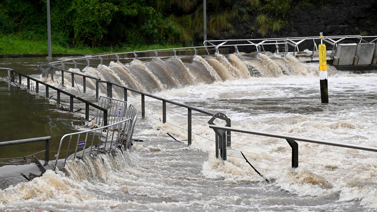
Emergency crews conducted 10 flood rescues across the state on Thursday and Friday while dozens of flood warnings were in place from Camden, southwest of Sydney, to Moree in the state's northwest.
Residents near the Namoi River at Gunnedah are being told to prepare to isolate, albeit with the river now expected to peak below the major flood level.
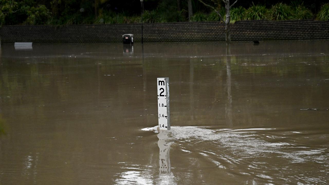
Moderate flood levels could be reached on Friday evening before an expected peak on Saturday.
"There's a lot of water moving through that system," the Bureau of Meteorology's Christie Johnson said.
"The weather system that's been bringing all this heavy rainfall has now moved off the east coast.
"We're expecting rainfall totals to be much lower for the remainder of (Friday), between five and 20 millimetres."
The state's 8.2 million residents have, however, been urged to remain vigilant with further wet months on the horizon.
"The long-range forecast for September to November shows above-average rainfall is likely across much of eastern Australia," NSW SES Assistant Commissioner Colin Malone said.
"Our members and emergency service partners have been kept incredibly busy this week responding to a large number of fallen trees, damaged properties and flood-related tasks."
The wet weather forced organisers to cancel the 20th anniversary Blacktown City Medieval Fayre, already postponed in May due to rain.
The dam supplying most of Sydney's drinking water began spilling on Friday afternoon but was not expected to have significant impacts downstream, the SES said.
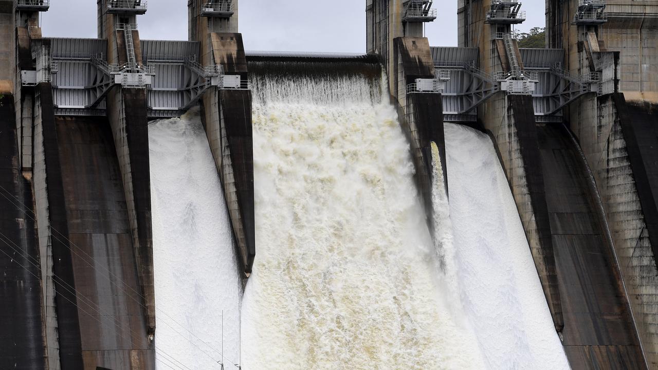
Water Minister Rose Jackson again ruled out raising Warragamba Dam's wall, telling a budget estimates hearing the long-debated proposal was a "multi-billion dollar boondoggle" on Friday.
"The idea that raising the Warragamba Dam wall is a solution to the flood risk they face is unfortunately a total illusion," Ms Jackson said.
"I can understand why people would like to think there was one easy solution to that challenge but there's not."
The state's reconstruction authority is working on a disaster adaptation plan for the Hawkesbury-Nepean catchment.
More than 370mm of rain has fallen in Sydney's CBD this month, the wettest since the city's August record of 482mm in 1998.
It is the city's fourth-wettest August since records began in 1858. The average August rainfall was exceeded in just one 24-hour period.
Police divers recovered the bodies of a father and son in floodwaters on Thursday while a third man escaped to safety after a flash deluge.
Their car had crashed into a tree and gone into the Macdonald River at St Albans, northwest of Sydney, late on Wednesday.
WETTEST AUGUSTS IN SYDNEY
(since records began in 1858)
1998 - 482.6mm
1986 - 470.6mm
1899 - 378.3mm
2025 - 368.8mm (to 9am Friday)
1952 - 303.2mm
WETTEST YEARS IN SYDNEY
2022 - 2530mm
1950 - 2194mm
1860 - 2110.5mm
1890 - 2071.1mm
1963 - 2035.6mm
...
2025 - 1350mm (to 9am Friday)