After weeks of miserable conditions, Met Eireann has issued some good weather news - pinpointing when heat could make a comeback.
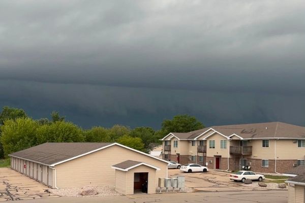
After a scorching start to June, unsettled weather has dominated the recent forecast, with heavy rain and thunderstorms frequent sights.
This is not expected to change in the short-term with similar conditions expected for the rest of July.
However a surprise U-turn may be on the way at the start of August as the national forecaster says temperatures could trend “near to slightly above average”.
READ MORE: Taylor Swift Dublin seating plan, ticket prices and date Eras Tour goes on sale
While subject to change this far out, Met Eireann’s current forecast for the week of July 21 to August 6 reads: “At Forecast Week 3, there is a weak trend towards a continuation of the mixed and showery weather regime. On latest forecast guidance, rainfall totals are currently expected to be above normal across Ireland. Mean air temperatures are expected to trend near to slightly above the August norm.”
And the following week of August 7 to August 13 reads: “There is little trend in the forecast at Week 4. Current forecast data indicates mean air temperatures will trend near to slightly above average. Rainfall amounts are expected to be close to the August weekly climatological average.”
In the meantime, the recent spell of unsettled and changeable weather is expected to continue through this week and next.
Giving a day-by-day breakdown of what to expect, Met Eireann said: “A mix of scattered cloud and sunny spells today. A few isolated showers will pass over parts of Munster and over the northern half of the country this afternoon and evening. Some showers heavy at times over Ulster. Highest temperatures of 15C to 20C in a moderate westerly breeze.
“Scattered showers will continue tomorrow. There will be some sunny spells at first but it will get cloudier later in the day. Highest temperatures of 15C to 19C in a light to moderate west to southwest wind.
“Friday will be wet and breezy. Rain will extend northwards across the country during the morning and afternoon, followed by scattered showers. The rain will be heavy at times and may cause some flooding. Highest temperatures of 15C to 21C, with moderate to fresh and gusty winds that will vary in direction through the day.
“Saturday will be generally wet with heavy showers or longer spells of rain, but there will be some sunshine too during any showery periods. It will be breezy and blustery with a moderate to fresh and gusty wind, southerly at first and then becoming northwesterly. Winds will become strong at times, especially near coasts. Highest temperatures of 15C to 20C.
“A mix of sunny spells and scattered showers Sunday. Highest temperatures of 15C to 18C with a mostly moderate westerly wind.
“It looks like the weather will stay quite unsettled into early next week, with temperatures a little below average for July.”