Editor's note: For the latest on the severe winter weather, click here.
An "intense" winter storm threatens to disrupt travel ahead of the New Year's holiday period, as forecasters warn of frigid Arctic air surging into the eastern two-thirds of the country — including Florida.
The big picture: The latest extreme weather to snarl U.S. holiday season travel after heavy snow and powerful winds pummeled the Midwest and Northeastern U.S. this week saw a bomb cyclone and trailing Arctic airmass trigger more heavy lake-effect snow and subfreezing temperatures in the Eastern U.S.
- "A multi-day heavy lake effect snow event is expected downwind of Lakes Erie and Ontario through New Year's Day," the National Weather Service said in a forecast discussion.
- "The Arctic front will continue to bring increasing winds to the Northeast that will remain gusty. Subfreezing overnight low temperatures will be found as far south as the Gulf Coast."
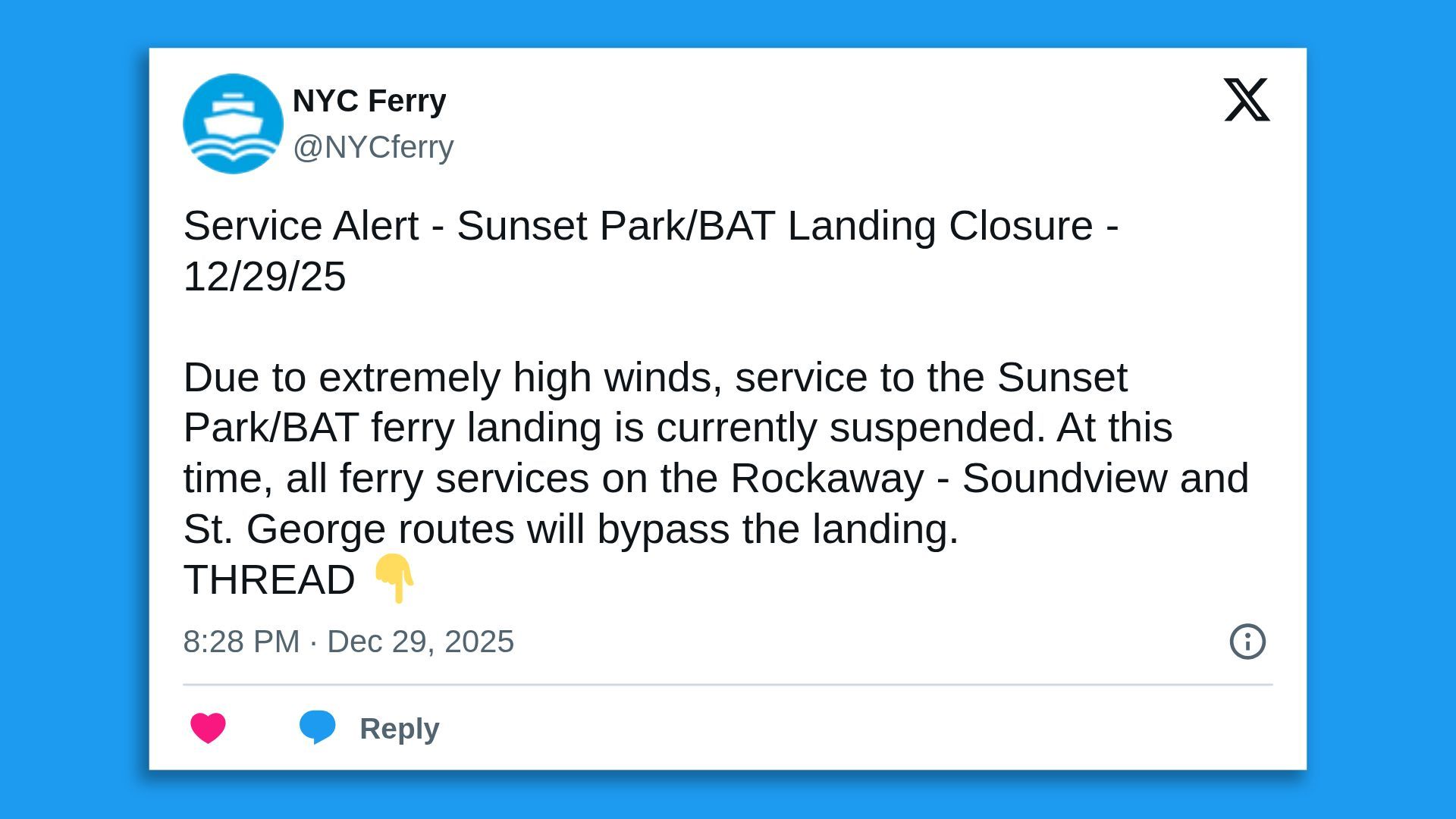
70 mph winds have been recorded in Buffalo and are expected to continue through tonight.
— NYS Div. of Homeland Security & Emergency Services (@NYSDHSES) December 29, 2025
An intense band of snow is moving parallel to Lake Erie and will continue to track eastward, resulting in near-whiteout conditions. Travel will remain hazardous, please stay off the roads. pic.twitter.com/9kXSQywFx8
Threat level: Major cities impacted by this week's severe weather that began in the Midwest include Boston, Philadelphia, Pittsburgh, New Orleans, New York City, Washington, D.C. and Detroit — where a weather-related pile-up involving at least 50 vehicles including semitrucks shut Interstate 75 for hours Monday.
- Hurricane-force winds were reported in Buffalo, New York, where a snow squall warning was in effect Monday evening, while an estimated 57,000 households were without power in Michigan overnight.
- Winter storm warnings were in effect for parts of N.Y. and Michigan, and a high wind warning was issued for parts of Massachusetts Monday. A wind advisory was in effect for D.C. and portions of Maryland and Virginia.
- N.Y. Gov. Kathy Hochul on X urged people in western and central New York to "avoid all unnecessary travel" Tuesday due to forecast "whiteout conditions" from lake-effect snow and strong gusty winds and noted the situation was expected to be particularly dire in the Syracuse-metro area.
By the numbers: Nearly 9,000 flights into or out of the U.S. were delayed and more than 1,500 others canceled on Monday night, per flight tracking site FlightAware.
State of play: While a "messy mix of rain, sleet, and freezing rain over the Northeast and New England" was abating as the Arctic cold front swept across the Eastern Seaboard Monday afternoon, the NWS noted "very cold northwesterly winds wrapping around the exiting cyclone" in its wake.
- This was combining with a reinforcing Alberta clipper, or fast-moving low-pressure system, to bring heavy lake-effect snowfall downwind of Lakes Erie and Ontario later this week.
- An additional 1-2 feet was expected through Wednesday within the heaviest snow bands.
- "Tonight, subfreezing overnight low temperatures will be found as far south as the Gulf Coast, which has prompted the issuance of Freeze Warnings, Watches, and Cold Weather Advisories across the region," the NWS noted.
- The rest of the Eastern U.S. can expect the the frontal passage to entail "strong wind gusts and daytime high temperatures 20-25 degrees colder compared to today," per the NWS.
Zoom in: "Looking toward the West, impactful accumulating snowfall and localized blizzard conditions will persist over southeastern New Mexico and southwest Texas into the late evening hours near the tail end of the Arctic front," according to the weather agency, which noted tranquil conditions will broadly prevail for much of that region Tuesday.
- "A quick warm-up is in store for the Northern and Central Plains beginning tonight" as the midweek Alberta clipper spreads mild air down the Rockies and into the Plains, before the associated cold front plunges temperatures over the Northern Plains and Upper Midwest Wednesday."
2025 ends & 2026 begins on a wintry note for portions of the Great Lakes & Northeast as lake-effect snow & scattered snow showers are forecast to continue for a few more days. There is increasing confidence in snow squalls causing bursts of snow & gusty winds New Year's Eve. pic.twitter.com/v6l03ck5GN
— NWS Weather Prediction Center (@NWSWPC) December 29, 2025
Editor's note: This is a breaking news story. Please check back for updates.


.png?w=600)