A winter storm of unrivaled scope is affecting the vast majority of the continental U.S. Friday, as damaging winds ramp up from the Midwest to the Southeast, downing trees and power lines amid unusually frigid conditions.
Threat level: Disruptions to holiday travel and threats to life will continue into Saturday as strong winds and poor visibility wreak havoc on major airline hubs.
- Power outages across the country are increasing as the Arctic cold front and bomb cyclone combine to create a massive wind field from the Midwest to the Plains, Southeast and East Coast.
- As of Friday afternoon, about 1.3 million customers were without power across the Lower 48, with most in the mid-Atlantic and New England regions. The outages pose health risks even to those indoors, given subzero wind chills moving into many areas.
- After historic temperature drops across the Plains to the Gulf Coast and Midwest beginning Wednesday, a blast of Arctic air straight from Siberia is now gusting its way into the East Coast.
- A rapidly intensifying storm system, sparked by the contrast in air masses between the Arctic air and milder air to the east, plus a powerful disturbance in the upper levels of the atmosphere, has become a bomb cyclone across the Midwest.
- Such a storm is characterized by a rapid drop in air pressure of at least 24 millibars in 24 hours, and this one exceeded that deepening rate.
- The result of this intensifying storm, along with a contrast in air pressure with nearby weather systems, is a 1,000-mile swath of strong to damaging winds of 40 mph or greater through Saturday.
Between the lines: In some places, such as Buffalo, New York, winds have hit as high as 79 mph, with stronger gusts in the Adirondacks and the Green and White mountains of New England. A gust of 151 mph was recorded on Mount Washington in New Hampshire.
- Around Buffalo, up to 3 feet of snow may fall amid blizzard conditions, with winds gusting up to 70 mph. This will make travel impossible, and a state of emergency is in effect for the city. A travel ban is in effect for Erie County, New York.
- The winds blowing across the Great Lakes could bring wave heights greater than 25 feet. In addition, a seiche event, which occurs when winds or differences in air pressure force water to slosh from one side of a lake to another and back again, is threatening to cause major lakeshore flooding in Buffalo.
- Shortly before 1pm local time in Buffalo, the NWS reported 1/16th of a mile visibility in heavy snow and blowing snow, with winds sustained at 43 mph gusting to 69 mph. The air temperature was 12°F, and the wind chill was -13°F.
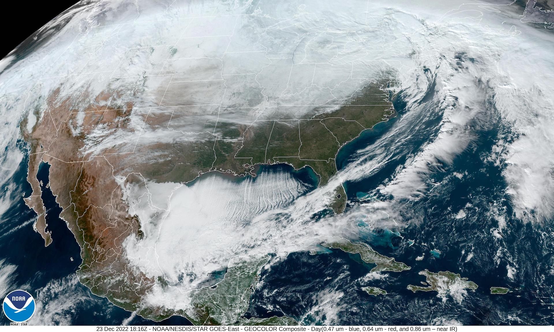
Satellite image showing a bomb cyclone moving into Ontario and frigid air across the Midwest. Image: NOAA
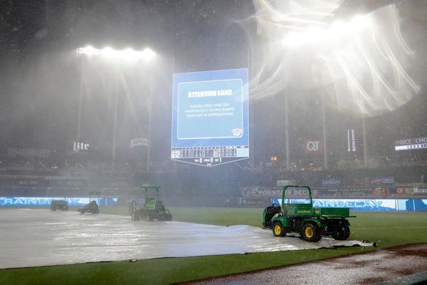
Flight delays continue to grow as winds become the greatest hazard
- As of Friday afternoon, about 4,700 flights had been canceled in the U.S., while nearly 7,000 were delayed.
- Strong winds ahead of the cold front have been snarling air traffic in the major airports of New England Friday, while whipping winds behind it have been affecting far more airports to the west and southwest.
- Ahead of the front, coastal flooding has been damaging in several New England states, a product of astronomical high tides, strong winds and long-term sea level rise.
Warnings take over the weather map
- As of Friday morning, more than 350 million Americans were under winter weather warnings, watches and advisories, including a staggering 125 million people under wind chill advisories, from the Pacific Northwest to Florida and north to the Canadian border.
- "Winter weather hazards remain in effect from the Canadian border south to the Rio Grande, Gulf Coast and central Florida Peninsula while spanning from the Pacific Northwest to the Eastern Seaboard," the NWS said in an online discussion early Friday morning.
- "The National Weather Service's Watch Warning graphic depicts one of the greatest extents of winter weather warnings and advisories ever," the NWS said.
- The NWS warns of "widespread record low maximum temperature values" Friday from the Lower Mississippi Valley to Mid-Atlantic. On Thursday, Denver saw its second-coldest day on record.
- Wind chills Friday morning reached -50°F in Montana and North Dakota and dipped below zero all the way to Alabama. In such conditions, frostbite could occur in just a few minutes.
Go deeper...
- Monster winter storm and Arctic blast disrupt holiday travel across U.S.
- Here's how many flights have been delayed, canceled by the bomb cyclone
Editor's note: This is a developing story. Please check back for updates.