Tropical Storm Hilary, which formed 470 miles off the coast of Manzanillo, Mexico, became a hurricane on Thursday, and could bring a mix of heavy rains, big surf, and flash flooding to regions of California and the Southwest that rarely see such precipitation, according to the forecasters.
The storm could dump more than a year’s worth of rain on the already parched American southwest when it makes landfall over the weekend.
“Confidence continues to increase on a significant heavy rainfall/high impact event to unfold and focus across parts of the Southwest and California beginning Saturday to at least Monday,” the National Weather Service said on Thursday.
So much rain is expected that parts of southern California are under a Level 4 excessive rain warning for the first time since the alert system was created. Level 4 is the most severe ranking.
The hurricane, which has already clocked sustained winds of 85 mph, is expected to continue advancing northward, parallel to Baja California, potentially intensifying to a major Category 3 or higher hurricane by late Thursday and likely making landfall in Mexico on Sunday.
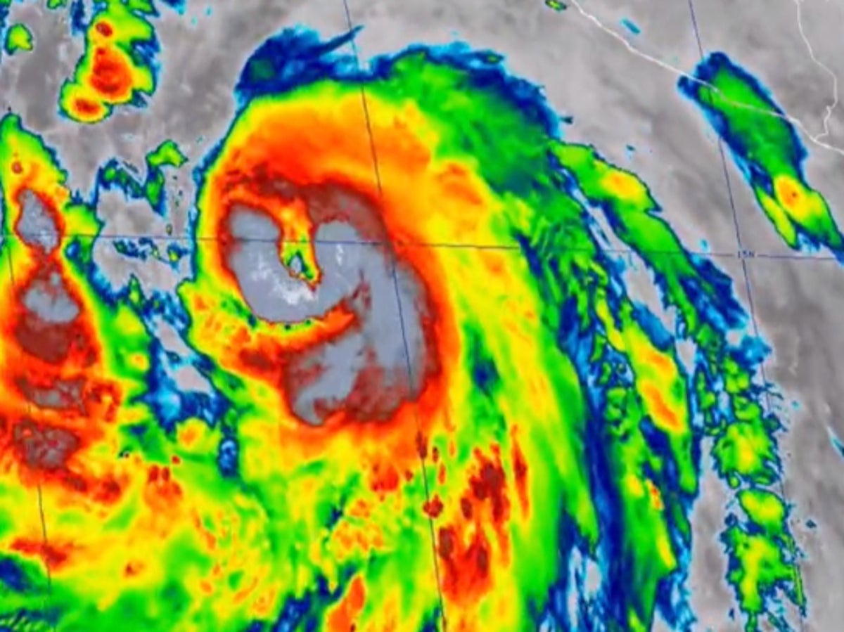
Tropical Storm Hilary is shown on weather-tracking systems off the coast of Mexico— (National Weather Service)
As the storm continues to advance northward, it is expected to weaken as it moves over colder waters, though even the remnants of the storm that might hit California and the Southwest would represent an “exceedingly rare” and potentially hazardous event for the region, Stefanie Sullivan, a National Weather Service (NWS) forecaster, told The New York Times.
California could experience 5 to 6 inches of rain, and the state’s inland deserts might receive their normal annual rainfall in just 48 hours, while beaches could get between 4 and 7 feet of surf, as well as life-threatening currents.
“I’m not saying this will be a Category 1 Hurricane but it’s going to be awfully close when it arrives in Southern California on late Sunday into Monday,” according to KTLA meteorologist Henry DiCarlo. “When it moves onshore it’s going to bring a lot of rain. Not just for the desert areas but for all of us here in Southern California.”
Hurricane Hilary will likely weaken to a tropical storm before it makes landfall in the US, but it is still expected to produce dangerous winds and bring heavy rains. The NOAA’s national hurricane centre said both the Baja penninsula and the southerwest US were at risk of experiencing the high winds.
“The threat of significant wind impacts continues to increase for northern portions of the Baja California Peninsula and the Southwestern United States, especially in areas of mountainous terrain,” the centre said.
These kinds of storms are exceptionally rare for California.
One of the last major tropical storms to touch down in California, in 1939, washed homes away in Southern California and killed 48 people.
Parts of Mexico are also on notice, including the popular resort town of Cabo San Lucas.
As the storm continues through the Western US, southern Nevada could receive 4 to 7 inches of rain, while parts of western Arizona could get 2 to 4 inches, according to the NWS.
The heavy precipitation could cause flash flooding in dry regions currently experiencing drought.
Hurricanes are getting stronger, and major ones are getting more likely, because of the climate crisis, according to scientists.
Heavy winds from Hurricane Dora recently exacerbated the catastrophic wildfires on Maui.