A new weather front could lead to thunderstorms in western England as many Britons try to enjoy the bank holiday weekend.
The Met Office said wet weather is expected in the region but the front will fade as the weekend progresses.
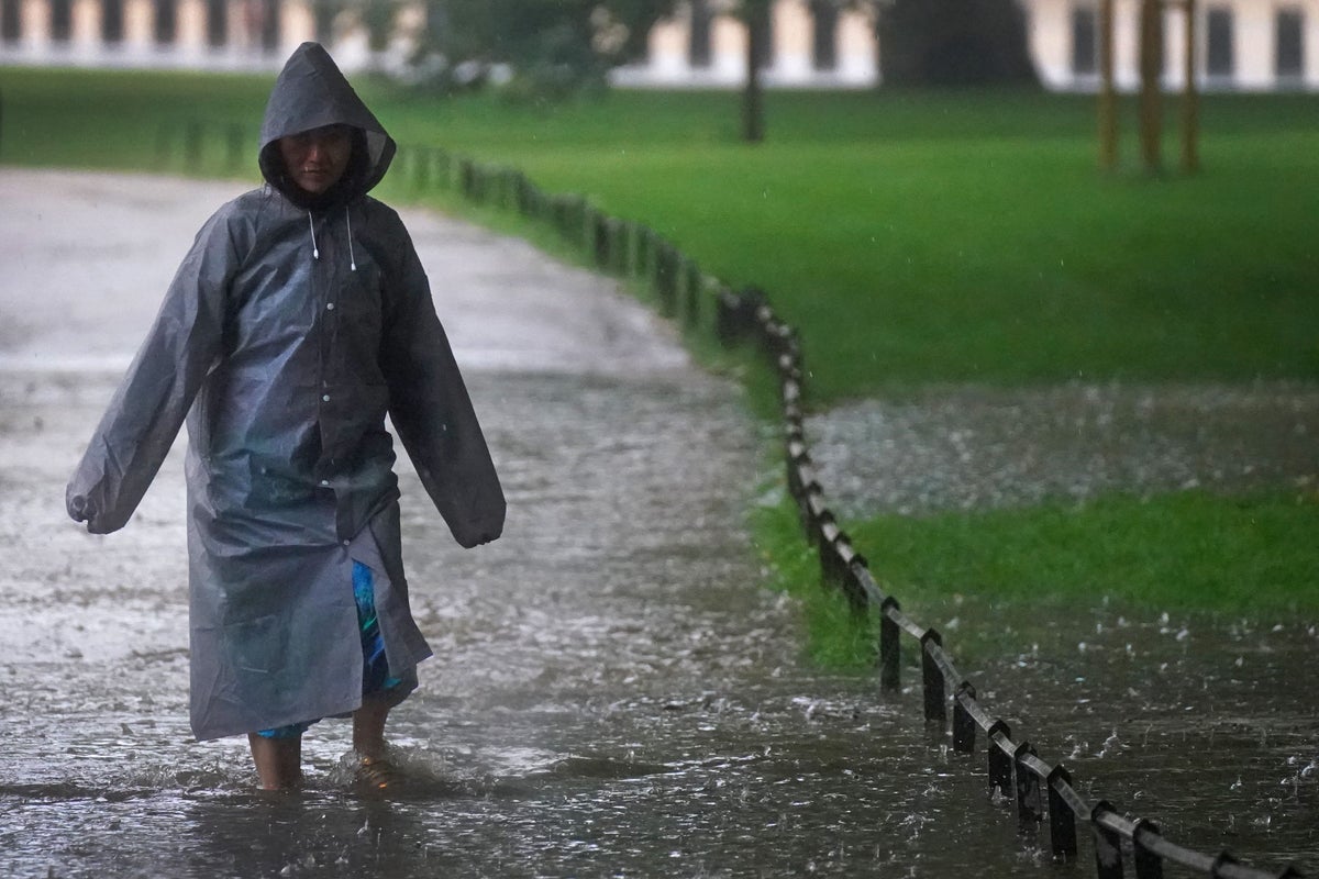
But the forecaster said “everywhere has a chance of seeing showers over the weekend”.
Millions of people across the country are expected to have leisure trips planned between Friday and Monday, the last bank holiday in England, Wales and Northern Ireland until Christmas.
British Airways said it made some alterations to its flights on Friday due to “adverse weather conditions” experienced in the London area and across Europe.
Images were shared on social media by passengers at Heathrow airport showing many of the airline’s departures were either cancelled or delayed.
There were also queues of up to an hour around mid-morning at the Port of Dover, but these gradually eased and disappeared as the day wore on.
Met Office spokesman Grahame Madge said: “Although by and large we’ll see quite bright spells, there will be over the weekend some showers that will come in and some of those could be quite heavy and intense in certain locations.”
Intermittent showers could develop “pretty much anywhere” across the UK on Saturday after initially building in the west, with a similar pattern also developing into Sunday.
The arrival of that front could trigger some thunderstorms down the western side of England and in the West Midlands, but as we go through into Monday that system will broadly fizzle out— Grahame Madge, Met Office
Mr Madge said: “There is a weather front which will be approaching from the west and coming across the UK (on Sunday) but that front will be weakening all the time, so it will start to bring in rain to parts of Northern Ireland and western Scotland quite early on the Sunday morning.
“But then by the time it starts to get across the rest of the country, the influence of that will start to weaken.
“The arrival of that front could trigger some thunderstorms down the western side of England and in the West Midlands, but as we go through into Monday that system will broadly fizzle out.”
Monday will have brighter spells with some less intense showers, whilst the humidity will be a lot fresher, especially overnight.
Temperatures are expected to come down to around average, with some rural areas forecast to drop into single figures, the Met Office added.