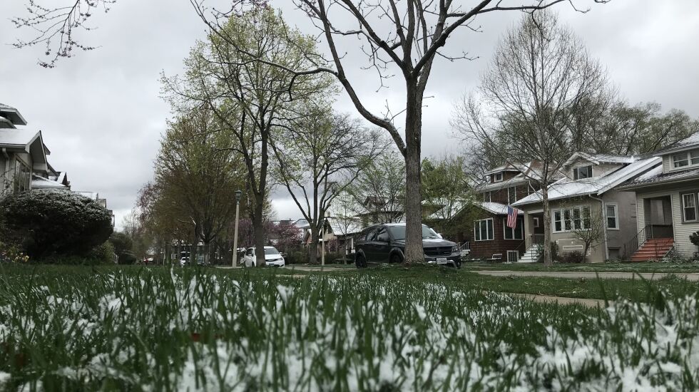
Snow showers were reported across the Chicago area early Monday, reducing visibility in some areas and causing slick conditions on bridges and overpasses.
But temperatures were expected to rise steadily during the week, with 70s expected by Thursday.
For the morning commute Monday, however, temperatures hovered around the freezing mark north of Interstate 80, according to the National Weather Service. Icy accumulations of less than an inch were expected, though some northwest suburbs could get up to 3 inches.
The weather service warned of wind guts of 40 to 45 mph today, with temperatures again dropping to around freezing at night.
Tuesday will be warmer, with temperatures in the 50s during the day, then dropping into the 30s at night. The warming trend continues into Wednesday and Thursday, with temperatures climbing to the 70s. But there’s a chance some rain will accompany the warm weather on both days.
Friday should be dry, with temperatures settling in the 50s.