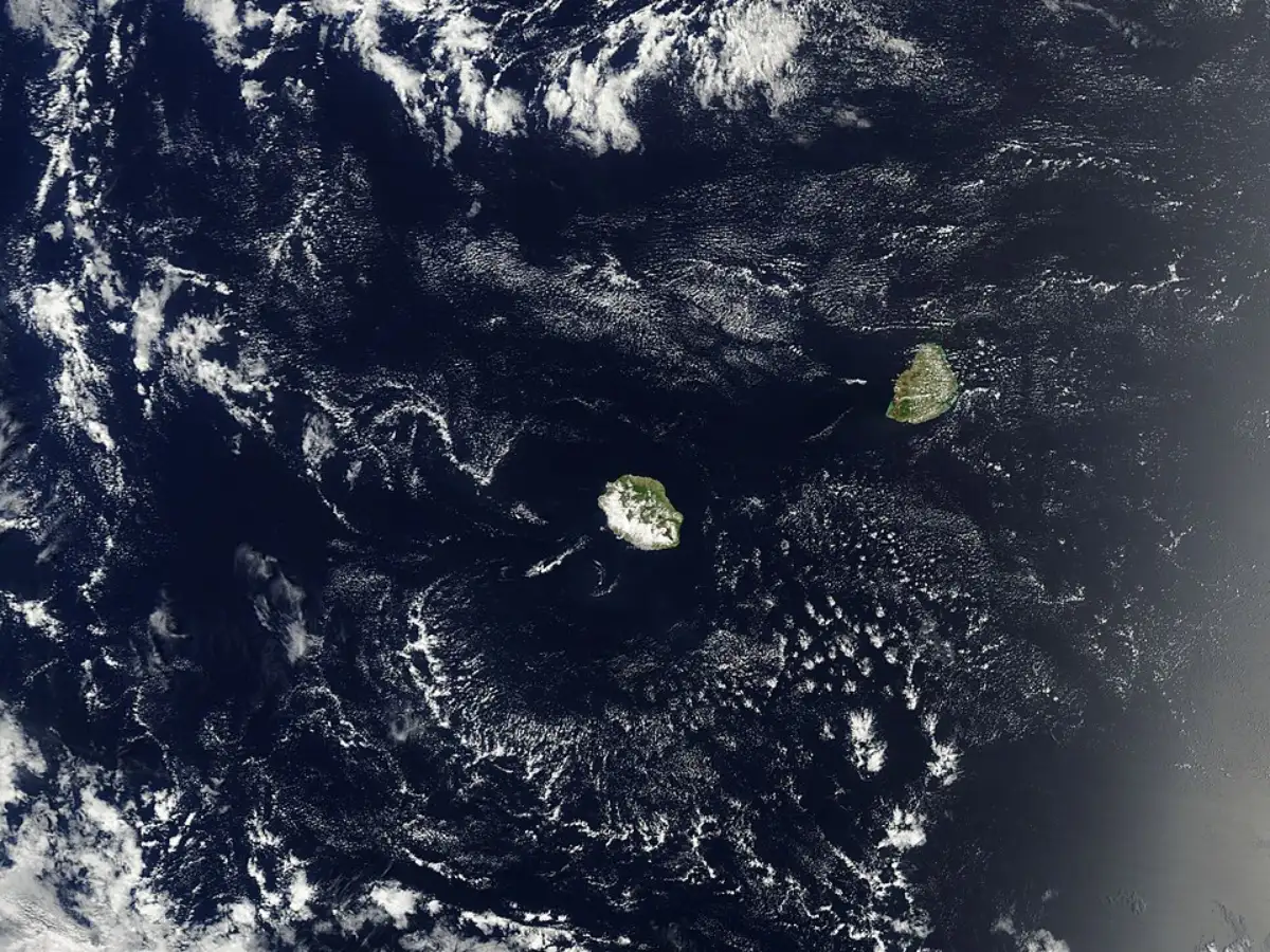
In the depths of the Indian Ocean, according to scientific claims, there exists a fragment of the ancient Earth crust that has remained unrecognized for several million years. The sunken crustal mass, named Mauritia, is not a mythical sunken continent that rises abruptly out of the ocean bottom, but a microcontinent trapped under a volcanic island and oceanic crust located near Mauritius and the Mascarene Plateau.
What makes the whole story intriguing is not only the presence of the submerged crust, but rather the process by which the discovery was made using microscopic minerals, gravity measurements, and the entire geological history of the Earth.
As mentioned in a paper published in Nature Geoscience in 2013, scientists suggested that the regions of Mauritius and other surrounding areas might be resting on an ancient continental crust that was once part of the supercontinent Gondwana.
What Mauritius actually is
Despite the sensationalist descriptions of it being a "lost continent," Mauritia remains a microcontinent. As far as geology is concerned, this indicates a smaller continental crust that detached itself from a larger landmass due to tectonic activity. This is important as the microcontinent of Mauritia is not a full-fledged continent located below water but a set of crust fragments under a different layer of rock.
The authors of the original paper in Nature Geoscience noted that the crust beneath Mauritius was thicker and older than usual oceanic crust. Through gravity measurements and plate modeling, the scientists tried to trace the extent of the buried microcontinent underneath the Indian Ocean.
This is the reason why talks of mapping its borders actually refer to underground geophysical research rather than the coastline.
Ancient clues trapped inside lava
The most compelling piece of evidence for Mauritius came from the tiny bits of zircon that were discovered in volcanic rocks of Mauritius itself.
A more recent study, published in PNAS, showed that young volcanic lava from the island had zircons as old as several billion years. These mineral grains are extremely hard and resistant, thus acting as geological time capsules since they withstand the process of melting and tectonic activities repeatedly.
It was very interesting for the researchers to find out that such old minerals existed on this geologically young island. It seems that the zircons in volcanic rocks came from much older, buried continental crust lying under Mauritius. The lava has sampled the old rock lying deep within the earth. Simply put, volcanic lava from the top samples the rock layer that lies underneath.
Why the indian ocean can hide old continents
Contrary to appearances, the western Indian Ocean is geologically complex. As reported in a paper in the journal Proceedings of the Royal Society B, this area hosts tectonic ridges, volcanic hotspots, sunken plateaus, and detached continental fragments.
The neighboring Seychelles are already known as a microcontinent from geological studies. Such a background renders the claim about Mauritia scientifically realistic, since continental fragments have already been found here in the process of the breakup of Gondwana.
According to the aforementioned paper, volcanic coverage and ocean-floor processes can conceal the presence of ancient continental fragments under newer geological formations. It means that over time, the continent gets buried under layers and cannot be easily discerned at first glance.
This is what happened with Mauritia, whose traces lay below the ocean floor where scientists could not see them.
How scientists mapped its buried borders
The “mapped borders” of Mauritia were not obtained via satellite imaging or underwater photography. Instead, scientists used gravity inversion and crust thickness modeling techniques.
As stated in the article from Nature Geoscience, gravity measurements can indicate regions of the ocean floor where the crust below is relatively thick. The continental crust is generally dissimilar from typical oceanic crust in terms of composition and density. Gravity measurements thus indicate where submerged continental fragments may lie.
There is no one piece of evidence that proves Mauritia exists. Rather, a series of interlocking pieces of evidence, such as zircon age data, plate reconstruction, crustal shape, and local tectonic history, have been used to make the case for the lost continent.
The rigorous scientific methodology involved is part of what makes the concept plausible.
A 2025 review article from Communications Earth & Environment explored the process of how continental fragments could break off, move away, and get covered up under younger crust after plate breakups occur. Mauritania exemplifies such a geological scenario.
Why Mauritius matters beyond Mauritius
The relevance of Mauritia does not lie just within one island in the Indian Ocean; the subducted block assists geologists in understanding processes of continental breakup and the survival of parts of the original crust despite tectonic movement.
Moreover, Mauritia reminds us of how much information about Earth’s geological past is stored below the waters of our oceans. It resonates because science does not work on myths; it works with fragments, and geologists have managed to assemble the picture of an extinct crust using minerals, gravitational anomalies, and geologic processes.
Mauritia might not be a lost continent; however, it seems that it preserves at least some evidence of the crust that got lost under the Indian Ocean.