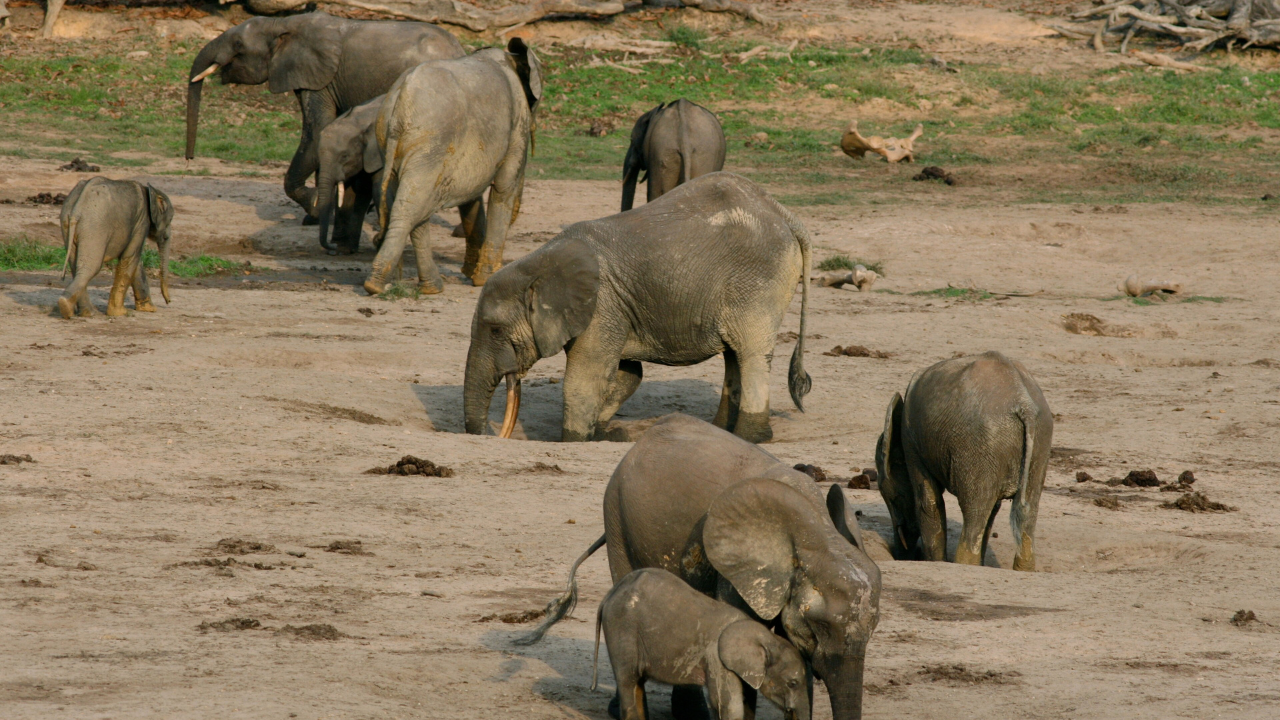
Ecologist J. Michael "Mike" Fay stepped into the forests of the Republic of the Congo on September 20, 1999, with little more than a backpack, scientific equipment, and an unrealistic plan. Fay wanted to cross Central Africa on foot instead of relying on helicopters or vehicles, and followed a nearly straight path through dense rainforest, flooded swamps and remote savannas until he reached the Atlantic coast of Gabon. By the time he finished 15 months later, he had walked roughly 2,000 miles (3,200 kilometers), while recording everything he encountered along the way, from forest elephants and western lowland gorillas to logging camps, poaching activity and vast stretches of intact rainforest that few scientists had ever surveyed on the ground. According to National Geographic , the expedition was known as the MegaTransect and became one of the most comprehensive field surveys ever undertaken in the Congo Basin, providing an unprecedented picture of the region's wildlife and ecosystems.
Get breaking news anytime, anywhere. Download the TOI app now!
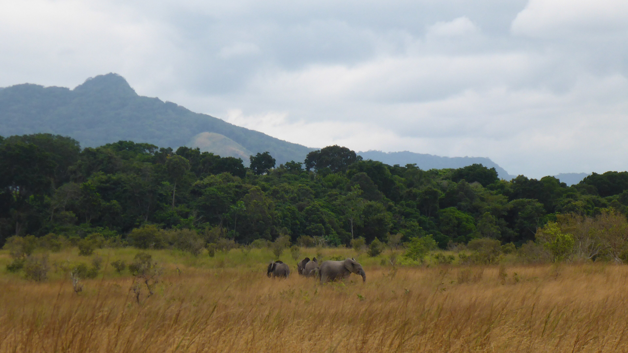
Every step became evidence for protecting the forest
Fay's journey was designed as a scientific survey that was carried out one observation at a time. He used GPS equipment, handwritten field notes, and photographs throughout the expedition to document animal populations and human activity across landscapes that had received very little formal ecological assessment. He recorded signs of forest elephants carving paths through dense vegetation, mapped areas that had been affected by commercial logging and identified large tracts of relatively undisturbed habitat that still supported exceptional biodiversity. Fay created a connected ecological record by walking continuously instead of studying isolated locations, which showed how wildlife, forests and human pressures varied across hundreds of miles. According to National Geographic's Congo Trek project , the expedition demonstrated that many of the region's most valuable ecosystems remained intact but faced increasing threats from road construction, hunting and expanding timber extraction.
The maps reached a president and changed conservation policy
Fay presented his findings directly to Gabonese President Omar Bongo after completing the expedition. He didn’t just deliver scientific papers; he also showed maps, photographs and first-hand observations that had been collected during months of walking through the country's forests. In 2002, Gabon announced the creation of 13 new national parks, which would protect approximately 11% of the country's land area in one of the largest single conservation decisions in Africa's history. The parks included habitats that ranged from coastal lagoons and tropical rainforests to mountain ranges and savannas, providing long-term protection for elephants, great apes, leopards and hundreds of bird species. According to NPR , Fay's expedition helped provide the scientific foundation that informed the government's decision by documenting ecosystems that had previously been poorly understood despite their global ecological importance.
A walk that still shapes conservation today
The MegaTransect is still one of conservation biology's most ambitious field expeditions, even more than two decades later. Satellite imagery has become far more sophisticated since 1999, but Fay's work demonstrated something that simple remote sensing alone could not provide: direct observations of wildlife, human activity and ecological change gathered continuously across an entire landscape. Many of the parks established after the expedition remain central to Gabon's conservation strategy, which helped protect one of Africa's largest remaining rainforest ecosystems and a substantial share of the continent's surviving forest elephant population. Fay's journey also changed how large-scale conservation surveys were viewed, which showed us that a single carefully documented expedition could influence national policy. His 2,000-mile walk did not create the parks on its own, but it supplied the evidence that transformed remote forests on a map into landscapes considered worthy of permanent protection.