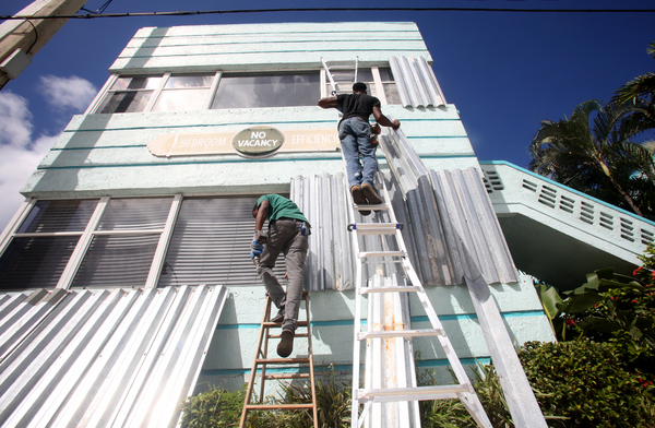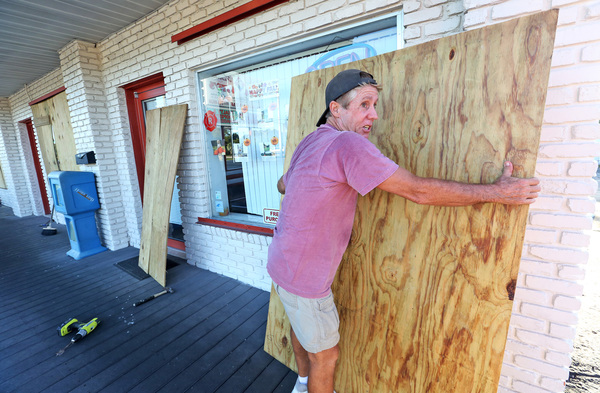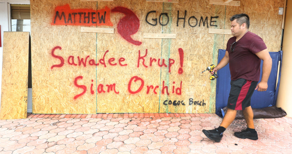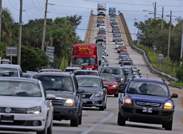
MIAMI _ Hurricane Matthew continued to become better organized Thursday and could become a more dangerous Category 2 storm over the next two days as it nears flood-prone islands in the Greater Antilles.
Thursday evening, National Hurricane Center forecasters said Matthew was located about 150 miles northeast of Curacao, with sustained winds reaching 75 mph. The storm was moving at 17 mph and is expected to continue strengthening over the next two days.
Hurricane-force winds extend 70 miles from the center with tropical storm-force winds reaching about 185 miles and blowing strongest on the storm's northeast side.

A ridge of deep warm air continued to steer the storm west. But over the next two days, the storm should round the corner and make a turn north, forecasters said.
Where that turn occurs would determine whether Matthew cuts across Cuba, Haiti or in between. Forecasters said Thursday computer models leaned more toward a path over Cuba, taking the storm's center across the island's eastern end in the next four days. But two other models show a slower moving storm crossing Hispaniola. While the spread between the models narrowed Thursday, forecasters warned there was still a good deal of uncertainty about the track beyond three days.
Hurricane-stifling wind shear that increased Thursday is expected to begin fading Friday, leading forecasters to slightly increase projections for the storm's power.
With so much warm water and faltering wind shear ahead, forecasters worry Matthew's intensification could happen fast, giving vulnerable countries including Haiti and Cuba little time to prepare. Having such uncertainty about the track makes preparations even more worrisome. In his blog for Weather Underground, meteorologist Jeff Masters said some questions could be cleared up when a G-IV hurricane hunter, nicknamed Gonzo and out of commission since August, investigates the storm.
Unlike other missions, the high-altitude Gonzo scouts out the environment around and ahead of the storm at altitudes between 41,000 and 46,000 feet to give forecasters a better bead on the storm's track, said hurricane center spokesman Dennis Feltgen.
Two flights were scheduled for Thursday night and Friday for the Tampa-based plane over the Central Caribbean and the Bahamas, Feltgen said.
On Thursday, Matthew pounded St. Lucia with heavy winds and rain, with more than 9 inches falling on the airport.