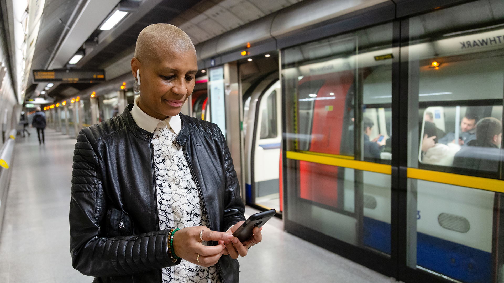
Transport for London has announced that it is working with Google to add some of the busiest Tube stations in the capital to Street View. Commuters and tourists will then be able to see the layout of each station in Google Maps before travelling.
This should make journeys more efficient, with passengers able to pre-plan station navigation and therefore be less likely to miss a particular train.
It could also help people with accessibility needs to plan a route that doesn't involve stairs, or to ensure they are on the right carriage for the exit, to minimise walking distance.
"This innovative project with Google will allow our customers to use Street View to chart their way through our stations, helping them build confidence in using our network when visiting London as well as plan the best way to interchange between lines," said TfL's director of innovation and strategy, Thomas Ableman.
"Working with companies like Google shows how we can use new tools and technology to bring the best service to our customers."
Google will add Street View imagery for 30 London Tube stations in 2024, including Camden Town, Baker Street and Oxford Circus (full list below). A small team will start to take pictures throughout the network in "the coming weeks" using a 360-degree backpack camera.
There will be disclaimers in all included stations warning passengers that they may be filmed, but Google's proprietary blurring software will ensure their faces will not be identifiable when the Street View options are made available.
Capture will take place between the hours of 10am and 4pm to avoid peak travelling times.
Google plans to release the London Tube Street View images in 2024.
What London Tube stations will be available on Google Maps Street View?
The London Underground stations that will be available in Street View in 2024 are:
- Baker Street
- Bank / Monument
- Bond Street
- Camden Town
- Canada Water
- Canary Wharf
- Canning Town
- Cannon Street
- Custom House
- Embankment
- Euston
- Euston Square
- Farringdon
- Green Park
- Hammersmith
- Highbury and Islington
- King’s Cross St. Pancras
- Liverpool Street
- London Bridge
- Moorgate
- Old Street
- Oxford Circus
- Paddington
- South Kensington
- Stratford
- Tottenham Court Road
- Victoria
- Waterloo
- Westminster
- Whitechapel
Transport for London is currently also expanding access to 4G and 5G mobile network signals across the entire Underground.
It revealed recently that the Elizabeth Line will be covered by the end of 2023, while passengers should be able to use their phones as normal on platforms and trains throughout the Tube network by spring next year.