
The Met Office has issued yellow weather warnings for torrential thunderstorms and flash flooding across much of England from Friday evening through Saturday evening.
Heavy downpours—expected to bring 30–90 mm of rain in isolated areas within hours—could cause travel disruptions, power outages, and an increased risk of flooding for homes and businesses.
Despite these warnings, temperatures are forecast to remain high, with heatwave conditions persisting in eastern and southern regions, reaching 30 °C or more even amid the storms.
Why This Storm Warning Matters
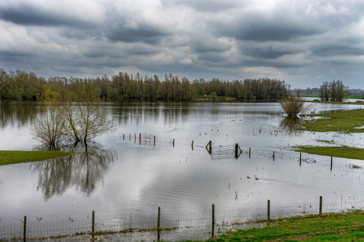
The incoming storms follow a series of summer heatwaves, which have baked the ground dry. This has reduced soil absorption, resulting in rapid runoff and an increased risk of flash flooding. According to Travel And Tour World, the driest conditions since 1976 have primed the UK for intense surface runoff.
Where the Storms Will Hit Hardest
Key zones included in the yellow warning area are:
- Central, southern, north‑eastern England, and Yorkshire
- Warnings run from midday Friday to 8 pm, with extended coverage up to 6 pm Saturday for most of England.
Significant downpours of 25–30 mm in under an hour are expected in parts of the northeast and south. The Met Office warns of frequent lightning, large hail, and gusty winds accompanying the showers.
Heatwave Not Cooling Off Yet
Temperatures are forecast to stay elevated over the weekend. Areas such as East Anglia, the Midlands, and the south-east may reach 30 °C, with humidity levels making conditions feel particularly uncomfortable.
Sky News meteorologist Joanna Robinson described the timing as another push of very warm, stagnant conditions, coinciding with hot and humid air that has already swept much of the UK this summer, with reservoir levels still dropping and hosepipe bans in place.
Flash Flood Risk: Why Now?
Experts warn that recent dry spells make the sudden heavy rain particularly dangerous. Meteorologist Sean Batty described the weather as 'whiplash'—dramatic shifts from 32 °C heat to heavy rain and 15 °C temperatures within days.
More rain falling on parched ground means water will rapidly run off and accumulate, leading to urban and rural flash flooding. Forecast data suggest that the upcoming storms won't significantly improve drought conditions, as much of the water flows directly into rivers and drains, rather than being absorbed into the soil (Travel And Tour World).
Take Action: How to Stay Safe
Residents in affected areas are advised to:
- Monitor forecast updates and check regional alerts
- Avoid driving through flooded roads
- Prepare for travel delays or cancellations
- Stay indoors during lightning and hail
- Take precautions against flooding around homes and businesses.
What's Next?
Storm coverage is expected to slow down by Sunday. Still, showers and thunderstorms may continue into next week, with temperatures returning to near or slightly above seasonal norms, especially in eastern regions.