If an atlas was your favorite ‘book’ as a child and spending time on Google Maps is now a favored pastime, welcome to the best post you’ll see all day. While it is a bold statement to make, any fan of maps ought to love today’s list, as it’s dedicated to all sorts of old and ancient maps.
So, without further ado, scroll down to find some of the most unique examples of cartography that we managed to find on the internet, and enjoy the trip they take you on. While you’re at it, make sure to upvote your favorite maps, too!
#1 A Map Of The Celestial Globe With Comet, 1618
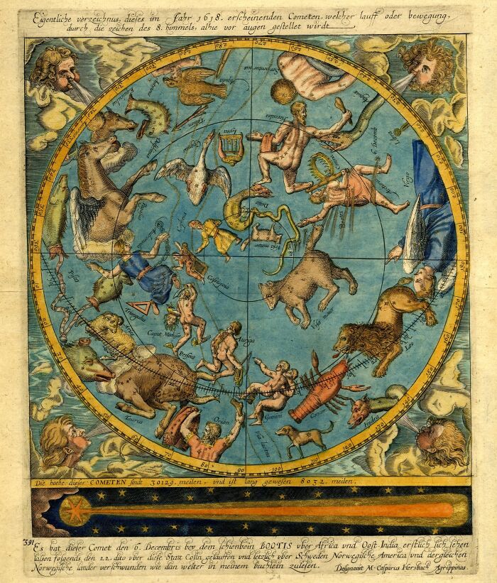
Image credits: British Museum
#2 Nautical Atlas Of The World, Circular World Map Of The Portuguese Hemisphere, 1519
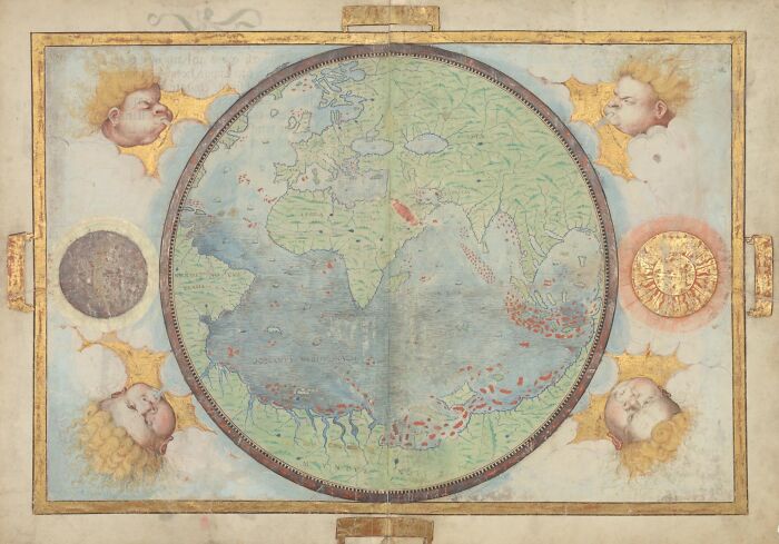
Image credits: Library of Congress
#3 Babylonian Map Of The World, Probably From Sippar, Mesopotamia, Iraq, 700-500 BCE
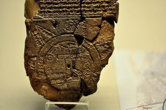
Image credits: Osama Shukir Muhammed Amin FRCP(Glasg)
#4 Al-Idrisi's World Map In Arabic, 1456 Copy, The Original Text Dates To 1154
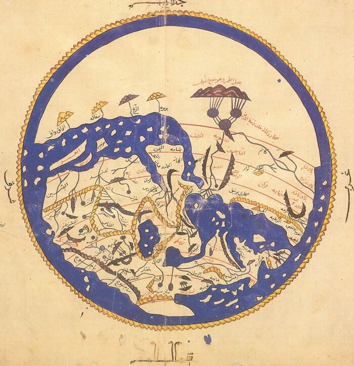
Image credits: wikimedia commons
#5 Map Of The Ancient Continents, 1719
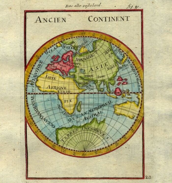
Image credits: Alain Manesson Mallet (1630–1706)
#6 Ptolemy's World Map, 1482
Ptolemy's world map designed in 150 AD. For the first time in history, longitudinal and latitudinal lines were added to a world map.
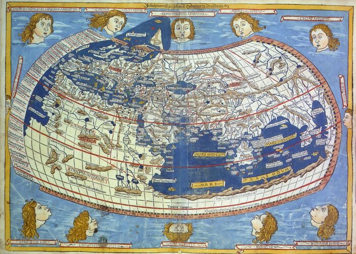
Image credits: Nicholas Germanus
#7 Map Of Europe In The Form Of A Queen, Engraving And Letterpress, 1587
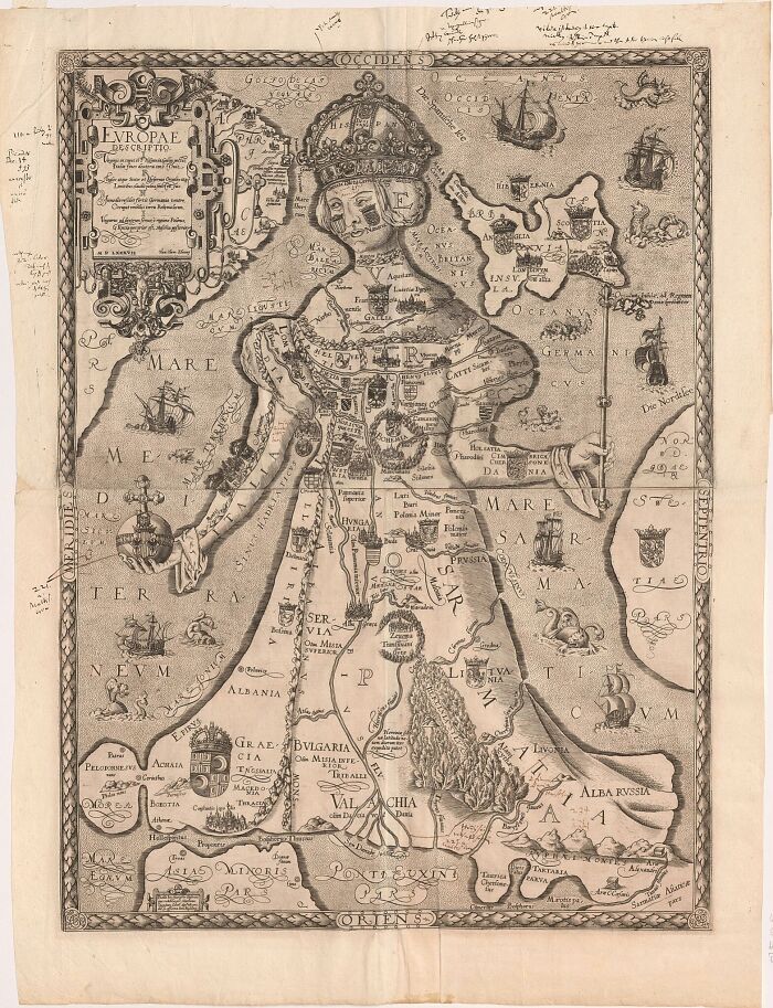
Image credits: Matthias Quad after Johannes Putsch
#8 Map And Views Illustrating Sir Francis Drake's West Indian Voyage, Santiago, 1586
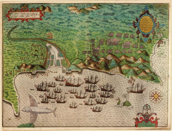
Image credits: Library of Congress
#9 The Largest Medieval Map (Hereford Mappa Mundi), 13th Century
Image credits: wikipedia
#10 Map Of The Americas, 1553
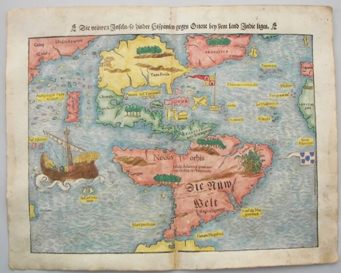
Image credits: franpritchett.com
#11 World Map, 1700
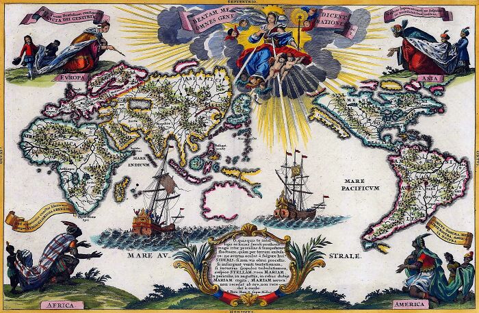
Image credits: Heinrich Scherer
#12 The Psalter World Map, 1260 AD
The Psalter World Map, drawn by an unknown medieval monk in 1260 AD. Maps from this time period usually place the east at the top of the globe, where the sun rises and Jesus watches over the world.
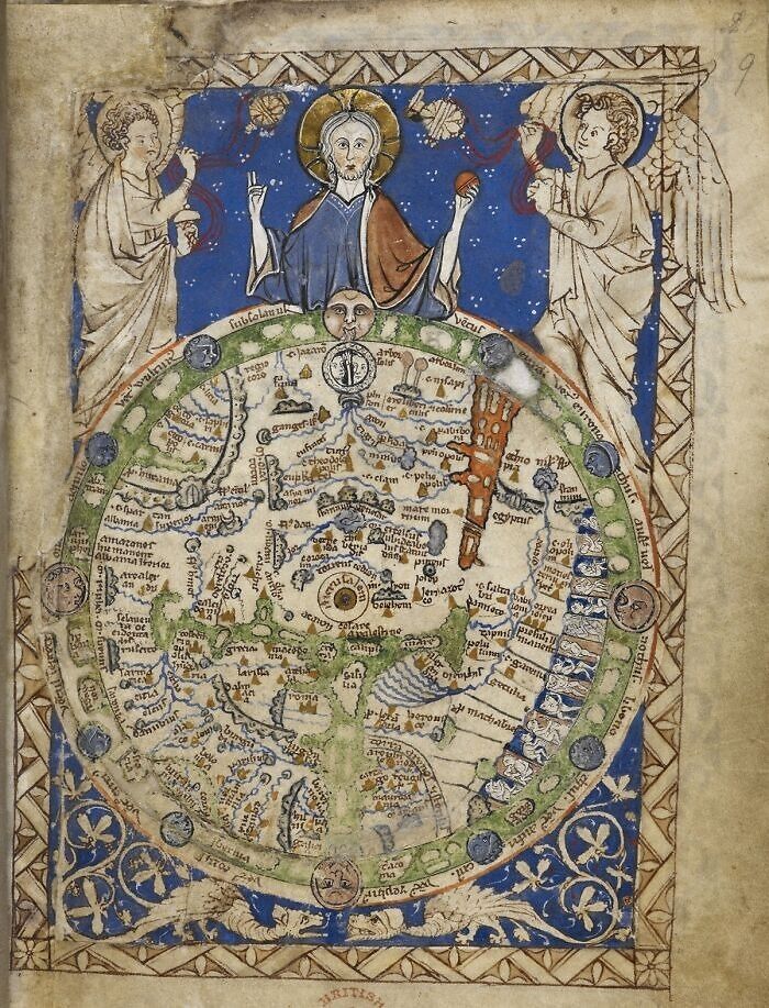
Image credits: British Library
#13 Map Of Ancient Palaestina, 1859
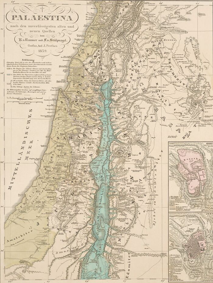
Image credits: Petermann, August ; Stieler, Adolf (Herausgeber/-in) ; Perthes, Justus (Herausgeber/-in)
#14 Map Of Old Prussia, And The Ancient Prussian Lands, 1584
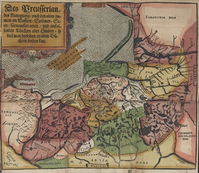
Image credits: Caspar Hennenberger
#15 Nicolaes Visscher Map, 1658
Nicolaes Visscher produced Orbis Terrarum Nova et Accuratissima Tabula, an etched double hemisphere map, in Amsterdam in 1658. Additionally, it includes scaled-down projections of the north and south poles. The painter Nicolaes Berchem drew four mythical images, one in each corner, to decorate the border, depicting Zeus, Neptune, Persephone, and Demeter. It is a vintage illustration of elaborate Dutch globe maps.
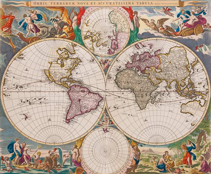
Image credits: Public Domain
#16 Bunting Clover Leaf Map, 1581
The Bunting Clover Leaf Map, created by Heinrich Bunting in Germany in 1581, is a later Christian map. This map represents the world as an extension of the Christian trinity, with Jerusalem serving as the hub that binds it all together, rather than how it actually is.
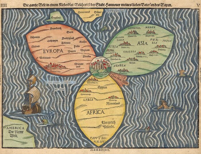
Image credits: Heinrich Bunting
#17 The Countie Pallantine Of Lancaster Described And Divided Into Hundreds, 1610
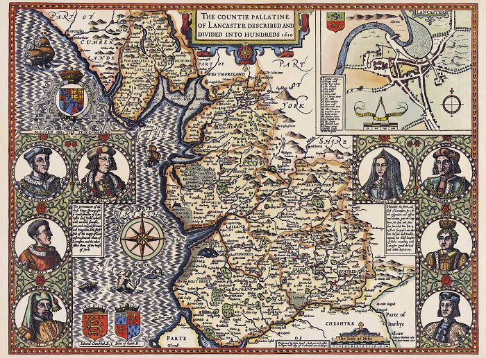
Image credits: Jodocus Hondius, engraved by John Speed, and restored by Adam Cuerden
#18 Cosmographical Map Or Universal Description Of The World With The Actual Path Of The Winds, 1570
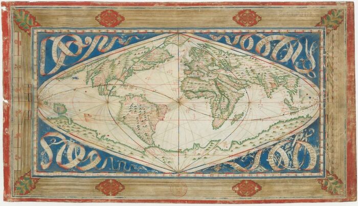
Image credits: Library of Congress
#19 Description Of The Holy Land, 1585
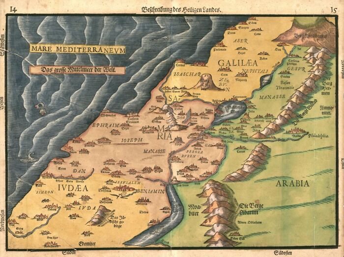
Image credits: Library of Congress
#20 Cadastral Map Showing Landownership In Fushimi, Kyoto, Japan, 1595
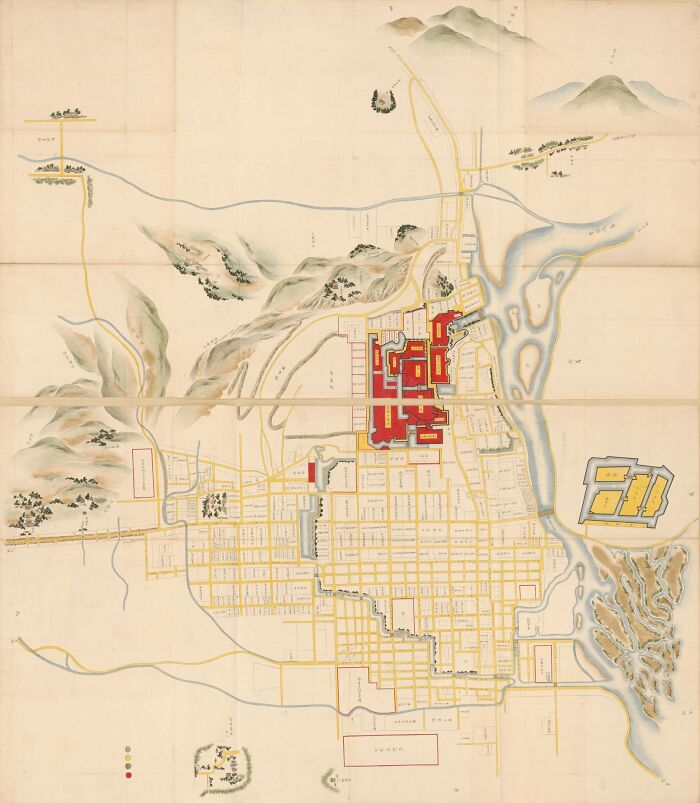
Image credits: Library of Congress
#21 Map Of The Ancient Roman World From Their Perspective
Roman Empire became the most dominant country globally by AD 98–117 through a mixture of military power, political adaptability, and economic enlargement. This enlargement drastically transformed the Mediterranean world.
Image credits: Roman Empire
#22 World Map By Cosmas Indicopleustes, 6th Century
World map by Cosmas Indicopleustes from the sixth century, which shows the globe as a rectangular-shaped surface.
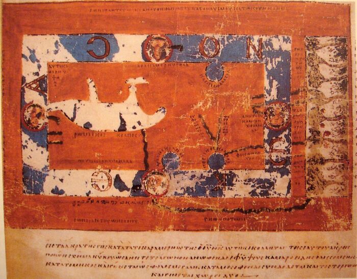
Image credits: Cosmas Indicopleustes
#23 Map Of The World According To Ptolemy, 1299 ; 1952
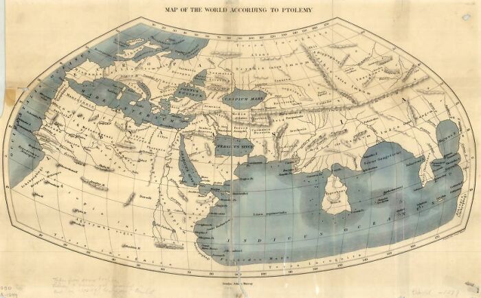
Image credits: University of Wisconsin-Milwaukee Libraries
#24 Ancient Map Of Black Sea, Circa 1559
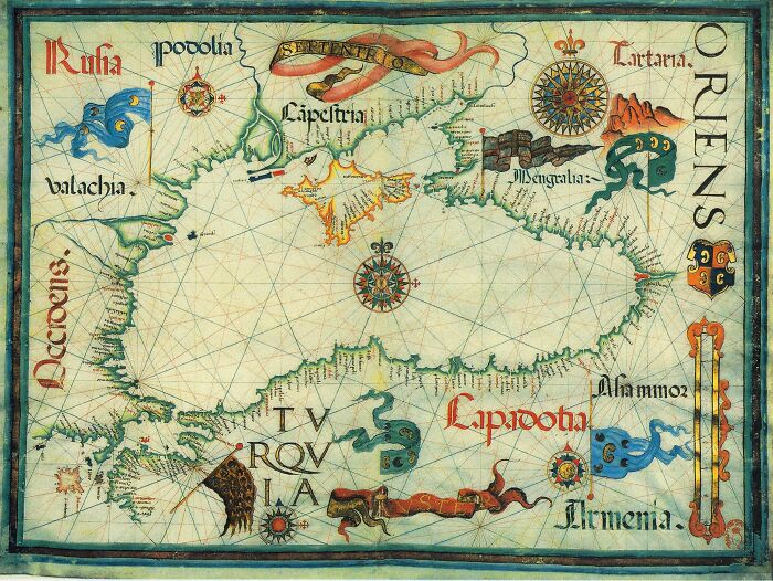
Image credits: Diogo Homem
#25 Map Of Ancient Geography, Circa 1608
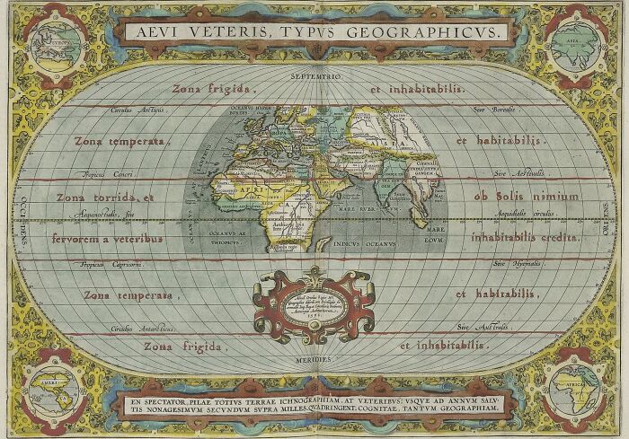
Image credits: Abraham Ortelius
#26 Samuel Dunn's Map Of The World, 1794
Samuel Dunn's map of the world, drawn in 1794 AD. Dunn was the first to map out the entire world using Captain James Cook's discoveries as his guide.
Image credits: Public Domain
#27 Engraving On A Mammoth Tusk, Perhaps Representing A “Map”, Gravettian
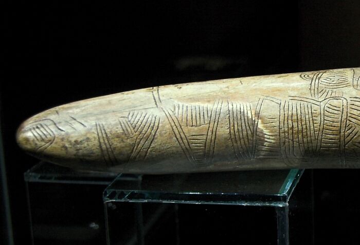
Image credits: Zde
#28 Jansson Map Of The Ancient World, 1650
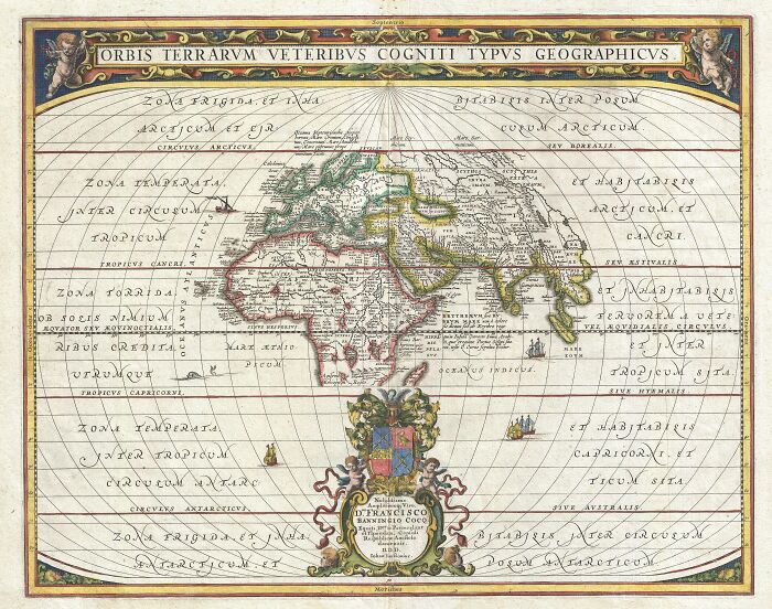
Image credits: Jansson, J.
#29 Map Of Ancient Europe, Possibly After 1870
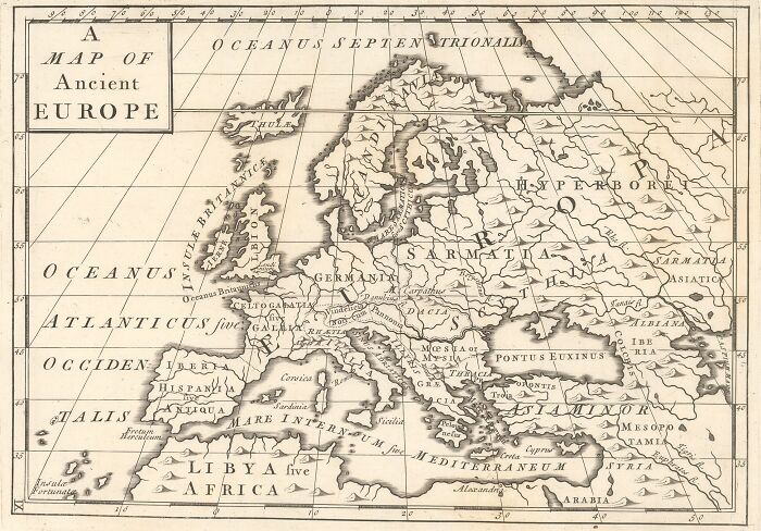
Image credits: National Library of Israel
#30 Map Over Munich, 1740
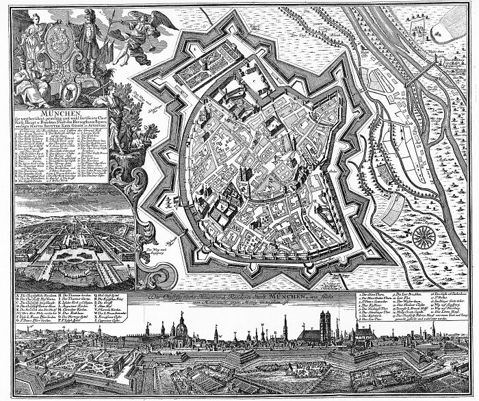
Image credits: Unknown author
#31 Map Of Jerusalem, 1770
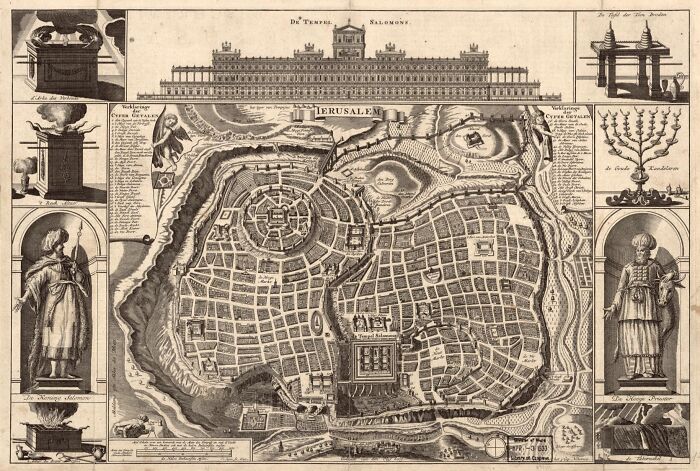
Image credits: Library of Congress Geography and Map Division
#32 Portolan Chart, Old World, 1505
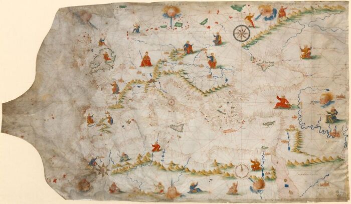
Image credits: Library of Congress
#33 Herodotus Map Of Armenia, Second Century Bc By Posidonius
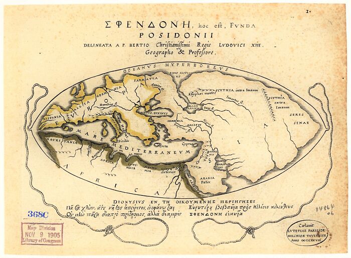
Image credits: wikimedia
#34 Map Of Turkey In Europe, 1683
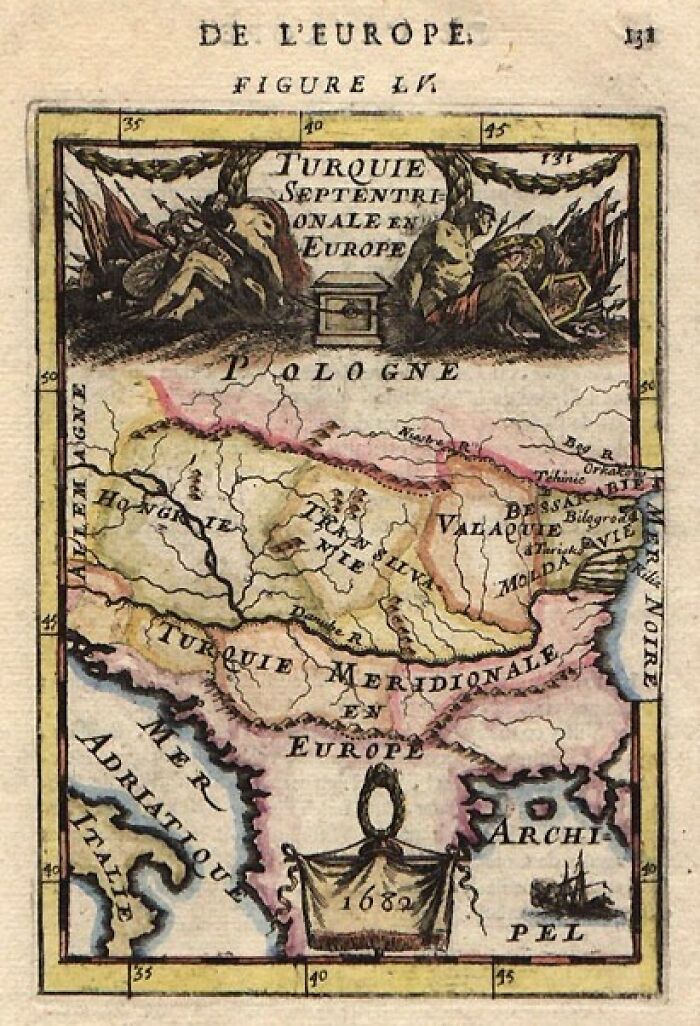
Image credits: franpritchett.com
#35 Map Of Ancient Italy By Abraham Ortelius, Circa 1608
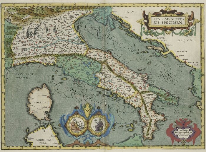
Image credits: Abramo Ortelio
#36 Map Of The Ancient World, 1555
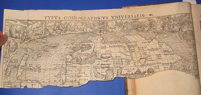
Image credits: Sebastian Munster (1488–1552)
#37 Madeira - From An Ancient French Map, 1909
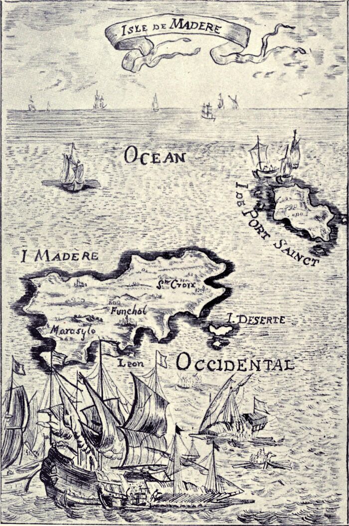
Image credits: Koebel, W. H. (William Henry), 1872-1923
#38 Map Of Sarthe, France, 1847
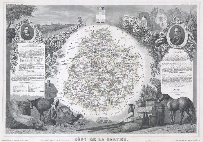
Image credits: Victor Jules Levasseur
#39 Map Of Rome By Matthaus Seutter, Around 1750
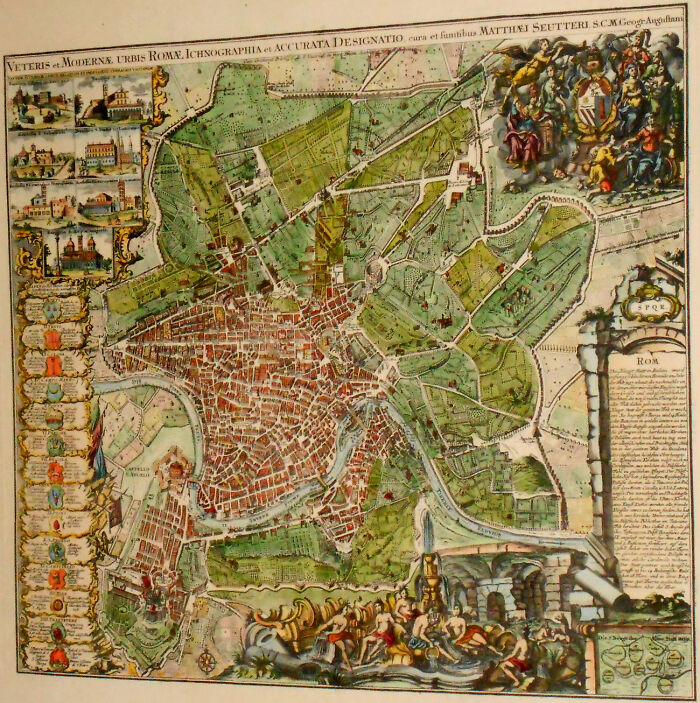
Image credits: roger4336
#40 Maritime Atlas, 1500
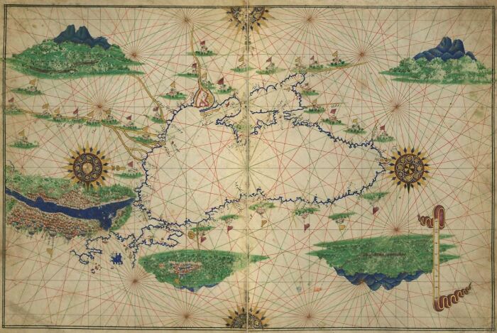
Image credits: Library of Congress
#41 Cempoala, Mexico, 1580
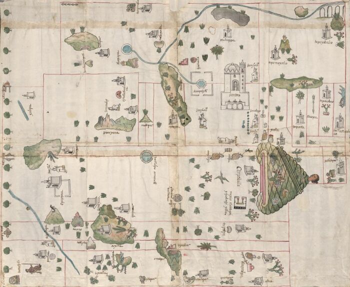
Image credits: Library of Congress
#42 Map Of Syria, 1683
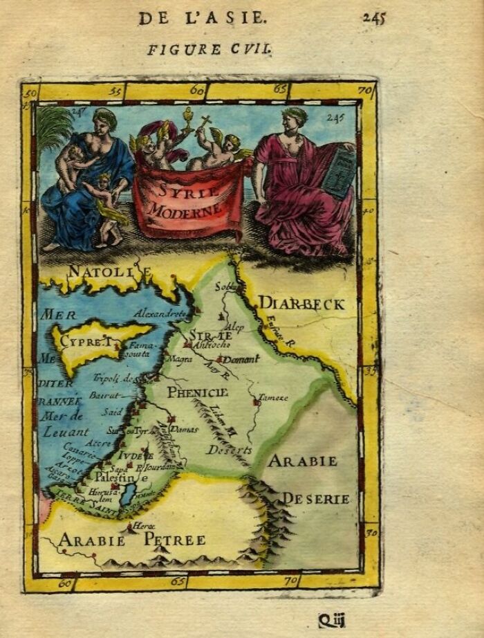
Image credits: franpritchett.com
#43 Map Of Israel, Canaan, Or Palestine In Ancient Times, 1865
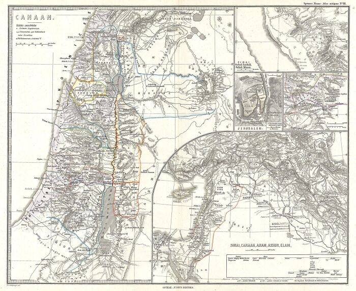
Image credits: Karl Spruner von Merz
#44 Map Of Southern Ancient Greece, Greeks Isles, And Crete, 1794
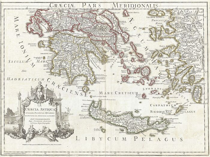
Image credits: Guillaume Delisle
#45 Topographical Map Of Ancient Rome, 1557
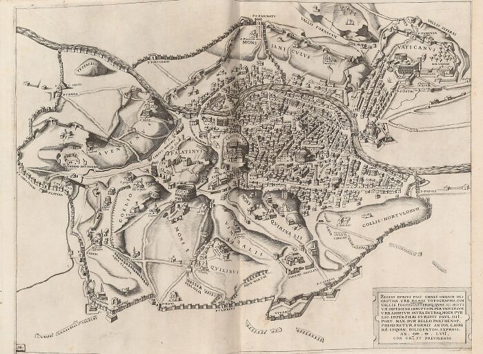
Image credits: Nicolas Beatrizet
#46 Map Of Plymouth By Champlain, 1605
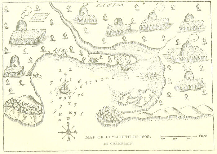
Image credits: The British Library
#47 Map Of The Roman Empire As Divided Into East And West, Ancient Rome, 1850
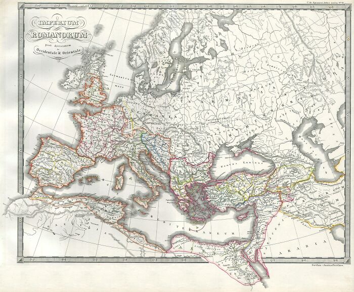
Image credits: Justus Perthes
#48 New York, 1695
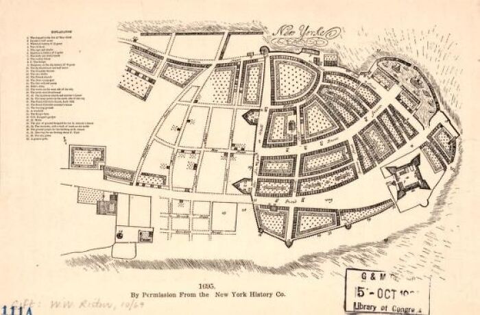
Image credits: Library of Congress
#49 Nowel Amsterdam And Lameriqve, 1674
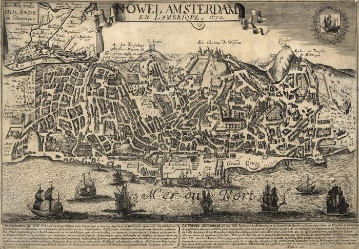
Image credits: Library of Congress
#50 Representation Of The Turkish Empire, 1570
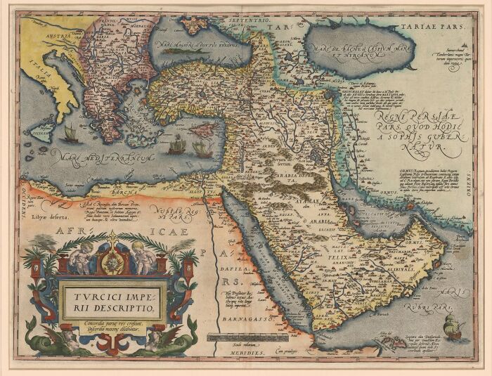
Image credits: Library of Congress
#51 Tabulaterre Nove, The Admiral's Map, Strasbourg, 1513
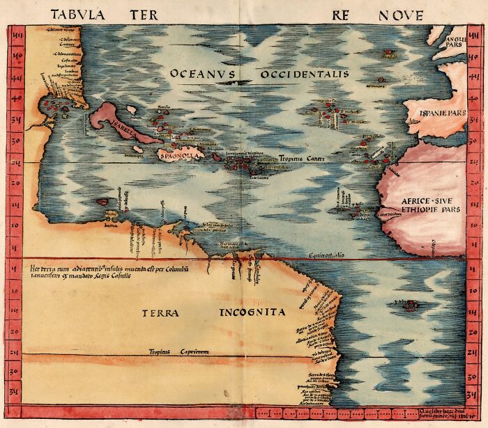
Image credits: leiris202
#52 Map Of Ancient Thrace, Circa 1608
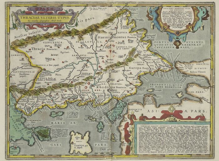
Image credits: Abraham Ortelius (1527–1598)
#53 Anville Map Of Ancient Greece, 1794
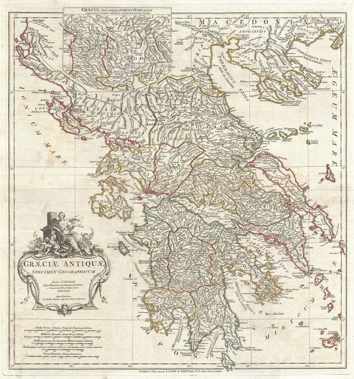
Image credits: D'Anville, J. B. B., Complete Body of Ancient Geography, Laurie and Whittle, London, 1795.
#54 Map Of Ancient Britain, 1685
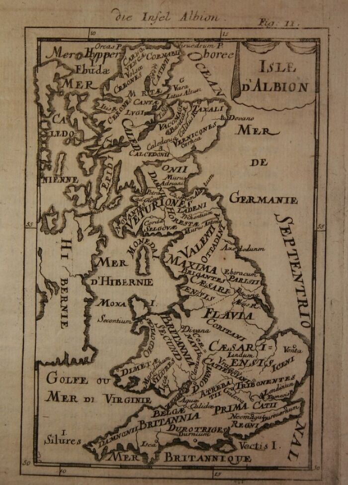
Image credits: franpritchett.com
#55 Cherrier's New Map Of The Ancient Capital, 1882
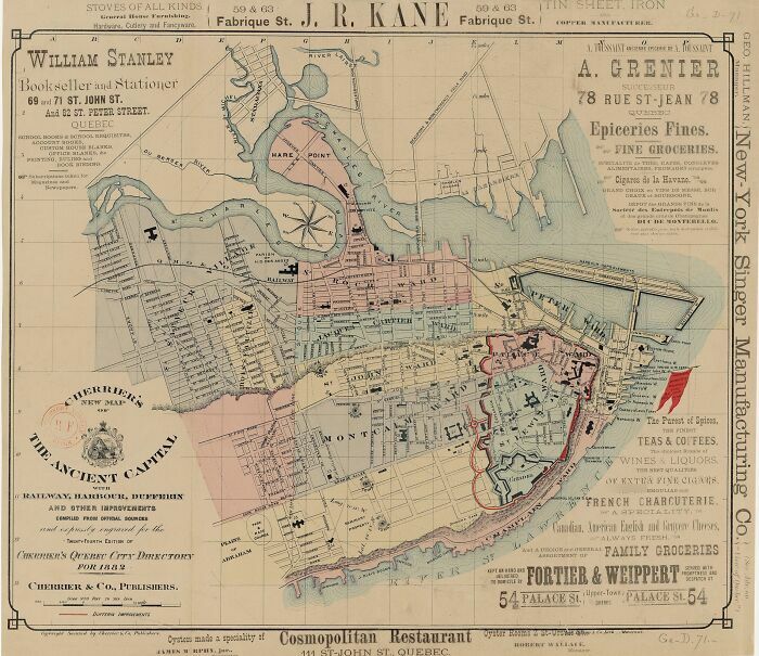
Image credits: Bibliotheque nationale de France
#56 Map Of The City Of Athens In Ancient Greece, 1784
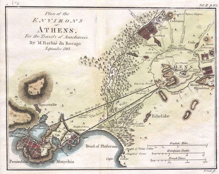
Image credits: Jean-Denis Barbie du Bocage
#57 Map Of Africa In Ancient Times, 1837
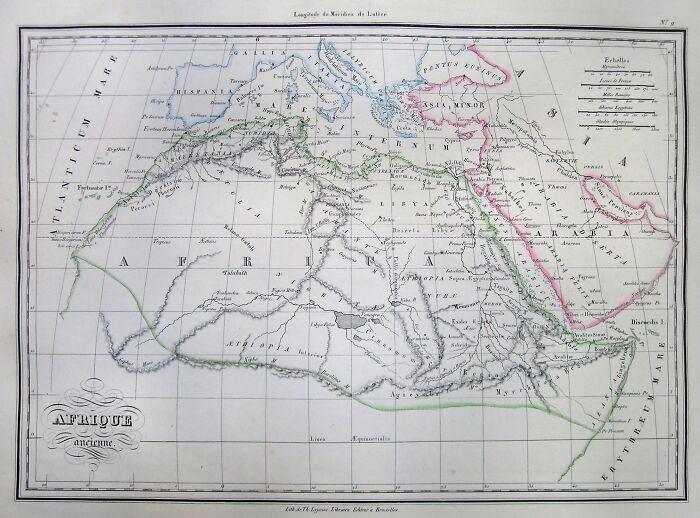
Image credits: Conrad Malte-Brun
#58 Map Of The Black Sea Or Pontus Euxinus In Ancient Times, 1855
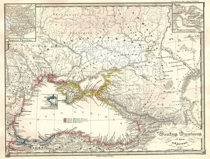
Image credits: Justus Perthes
#59 Map Of Cyprus, 1556
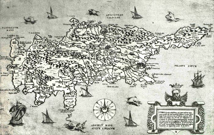
Image credits: Giovanni Francesco Camocio
#60 Capital Of Brasil, 1831
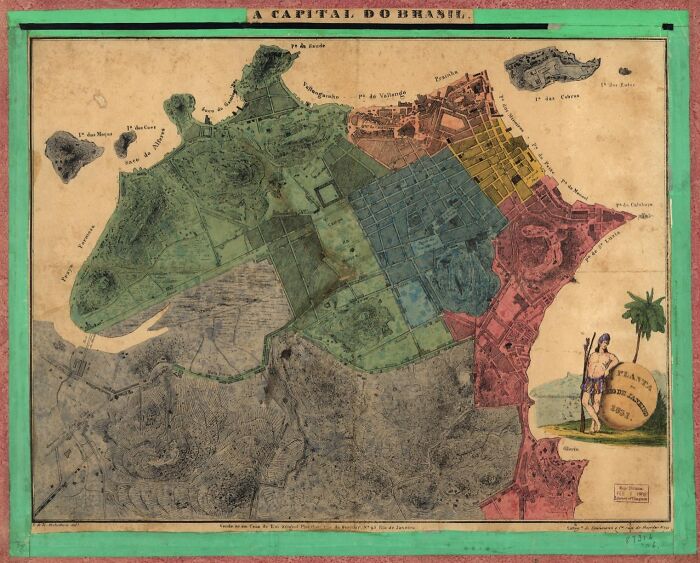
Image credits: Library of Congress Geography and Map Division
#61 Map Of Liberia, 1845
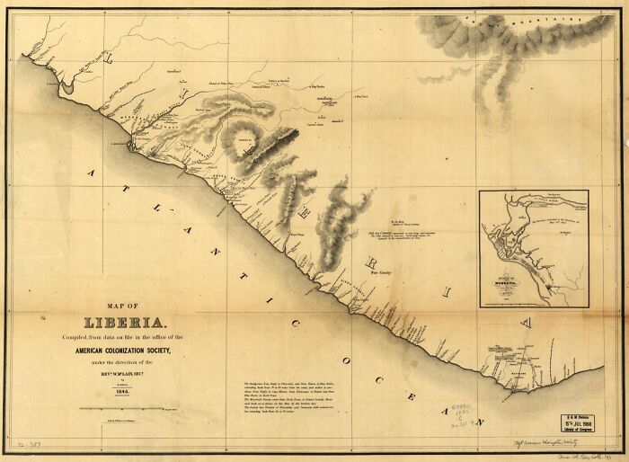
Image credits: Library of Congress Geography and Map Division
#62 Old Panama, About 1600
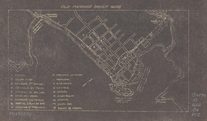
Image credits: Library of Congress
#63 Map Of Africa, 1575
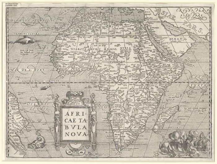
Image credits: Library of Congress
#64 Map Of Ancient Seoul Painted On Tiles Lining The Cheonggyecheon Stream, 1825
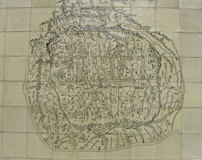
Image credits: sociate
#65 Map Of Ancient Assyria, 1683
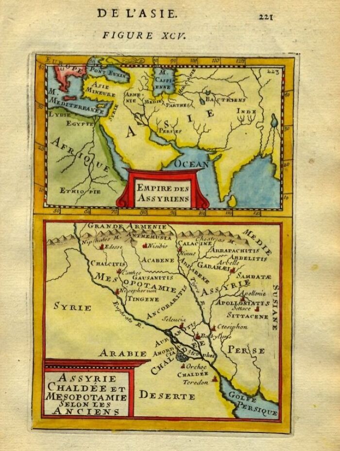
Image credits: franpritchett.com
#66 Map Of The Iraq Region, 1685
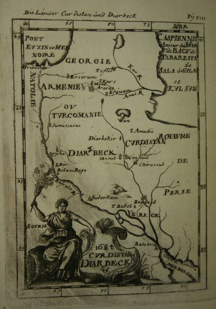
Image credits: franpritchett.com
#67 Map Of Ancient Western Asia, 1685
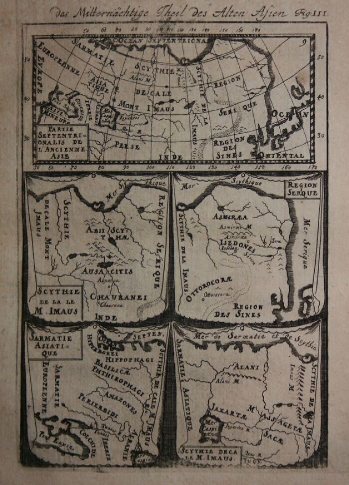
Image credits: franpritchett.com
#68 Graecia Antiqua, Map Of Ancient Greece Made In 1814
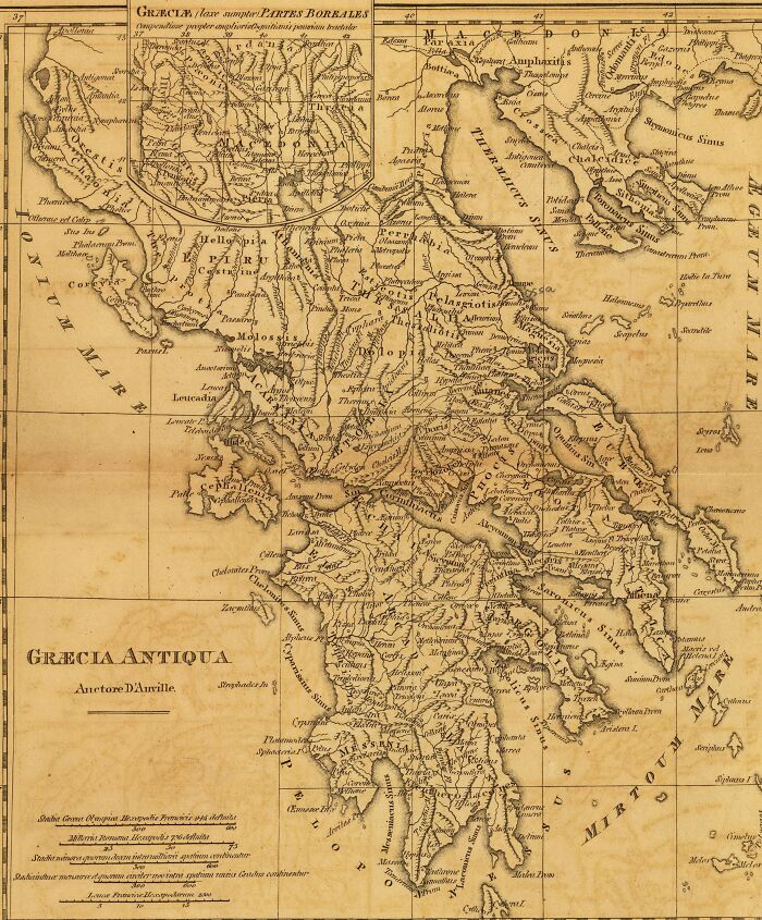
Image credits: M'Dermut, Robert
#69 Map Of The Ancient City Of Athens, 1841
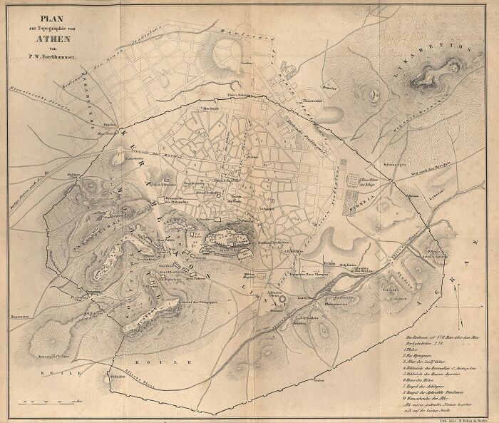
Image credits: Peter Wilhelm Forchhammer (1801-1894)
#70 Print Of Ancient Chadea Map, 1903
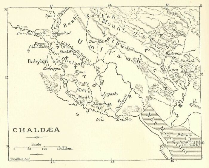
Image credits: Internet Archive
#71 Frank Leslie's War Maps, 1861
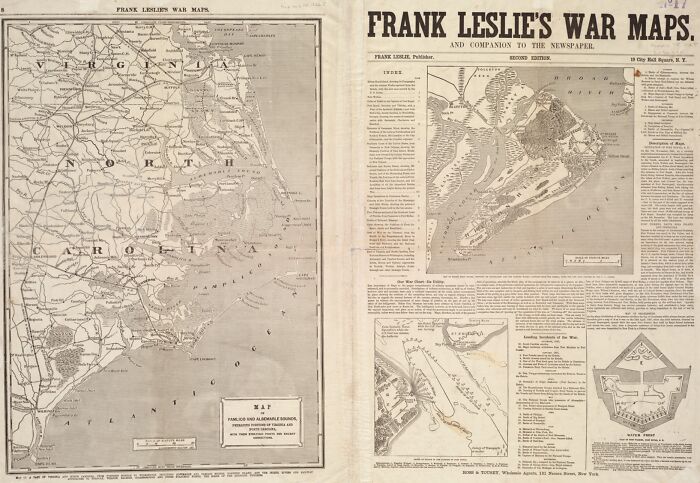
Image credits: Leslie, Frank
#72 Ancient Map Of Decatur County, Iowa, 1875
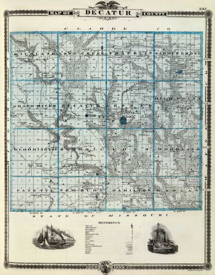
Image credits: Alfred Theodore Andreas