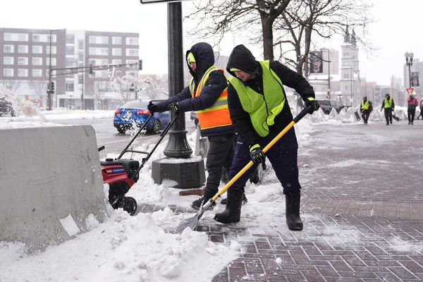
A Massive Winter Storm Brings Chaos and Chills to the Plains and Rockies
In an unexpected turn of events, a colossal winter storm is wreaking havoc across the central parts of the United States, plunging nearly 5 million people into winter weather alerts. Blizzard warnings have been issued as the storm barrels through the plains and into the Rockies. The treacherous conditions have forced the closure of a section of Interstate 90 in South Dakota overnight, leaving local officials warning travelers that whiteout conditions could make travel nearly impossible.
Reports are flooding in from Nebraska, detailing vehicles and tractor-trailers sliding off roads due to the icy conditions. The situation is dire, particularly considering that these incidents are occurring on the day after Christmas, when individuals are attempting to make their way back home to their loved ones and families. Unfortunately, this fierce winter storm has put a damper on their plans.
The brunt of this powerful storm system is focused on the central and northern plains. However, eastern Colorado is also experiencing significant impacts. The storm, which covers significant ground, has caused flooding across portions of the southeast, though the worst weather is unfolding hundreds of miles to the north and west. A large low-pressure system with counterclockwise rotation draws in vast amounts of frigid air and wind, resulting in freezing precipitation and gusts of over 50 MPH across low-lying areas. This relentless onslaught has led to reduced visibility and the issuance of blizzard warnings in Rapid City and the eastern region of Denver, indicated by the red shading on the weather map. Additionally, ice storm warnings are in effect for parts of South Dakota and North Dakota.
The intensity of this storm can be seen through the recorded wind speeds. Cheyenne, Wyoming, has been grappling with winds over 45 MPH, while Lyman, Colorado, has experienced gusts of up to 52 MPH. Paired with heavy snowfall, these winds have caused visibility in some areas to drop below one mile. Fortunately, the winds will ease as the system moves along. However, another concern looms as rain, marking the warmer part of the storm, begins its assault on the region's Appalachians. There, a flood threat looms, with Greenville and areas west of Charlotte in North Carolina anticipating the potential for rain at rates of one to two inches per hour. This could lead to localized flooding. The flood threat will gradually shift northeastward, impacting major metropolitan areas such as New York, Philadelphia, and Washington, D.C., throughout the day and evening tomorrow.
As we all journey home from our respective Grandma and Grandpa's houses, it is crucial to stay informed and prepared for the various weather conditions along our routes. Our dedicated team of meteorologists will continue to monitor the situation closely, ensuring that you have the most up-to-date information to make your travels as safe as possible.


