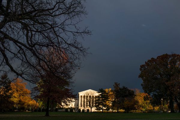
The focus is on the central and south coasts as New South Wales endures more heavy rain and flooding, following falls of hundreds of millimetres yesterday.
The rain began to fall again yesterday and has not stopped.
Heavy falls in the Sydney metropolitan area, the Hunter region, the Illawarra region, the Central Coast, the South Coast and the Central Tablelands will continue today, according to the Bureau of Meteorology.
Keep up with the latest updates on our live blog.
BOM senior meteorologist Sarah Scully warned that while persistent falls were not expected in many regions, areas where there was thunderstorm activity could face localised heavy rainfall.
"The main phenomenon we're expecting with those severe storms would be the potential for heavy rainfall and large hail," Ms Scully said.
Severe weather is hitting many recently flooded regions up and down the coast.
"As everyone is aware that the ground is really wet and catchments are saturated, dams are at capacity," Ms Scully said.
Totals in the 24 hours to 9am
- Rose Bay — 167mm
- Randwick — 155mm
- Little Bay — 144mm
- Sydney Airport — 125mm
- Cronulla South Bowls Club — 160mm
- Reverses — 134mm
- Darkes Forest — 207mm
- Mount Pleasant — 150mm
- Dombarton Loop — 136mm
- Huntley Colliery — 153mm
- Macquarie Pass — 200mm
- Brogers Creek — 150mm
- Nowra — 132mm
- Bodalla — 138mm
What's going on?
A high-pressure system is directing moisture from the east onto coast, this time combining with an upper-level trough to bring further instability.
Keen weather watchers will have noticed Cyclone Fili lurking to the east, but it is not currently expected to have a big impact on the Australian coast.
"A bit of the moisture from the tropical cyclone may be brought down later into the week and into the weekend about the Queensland coast," Ms Scully said.
While the end of the week will be wet, there is an end in sight.
"It's expected to last into the weekend and will hopefully start to really clear out and dry out with a cold front that pushes through early next week," Ms Scully said.
The front is expected to reach Western Australia on Friday and make its way east finally bringing the change to the eastern states Sunday and into Monday.
Please remain vigilant
The NSW SES, which has responded to 31,400 calls for help over the last six weeks, is urging residents to be prepared.
"I understand the news of more severe weather for already saturated communities is distressing, but we need everyone to heed the advice and warnings of the NSW SES and BOM (Bureau of Meteorology)," Minister for Emergency Services and Resilience Steph Cooke said.
The advice remains the same:
- Prepare your home by securing loose items, removing overhanging branches and clearing drainpipes
- Keep up to date with warnings
- Above all, avoid driving, riding or walking through floodwaters