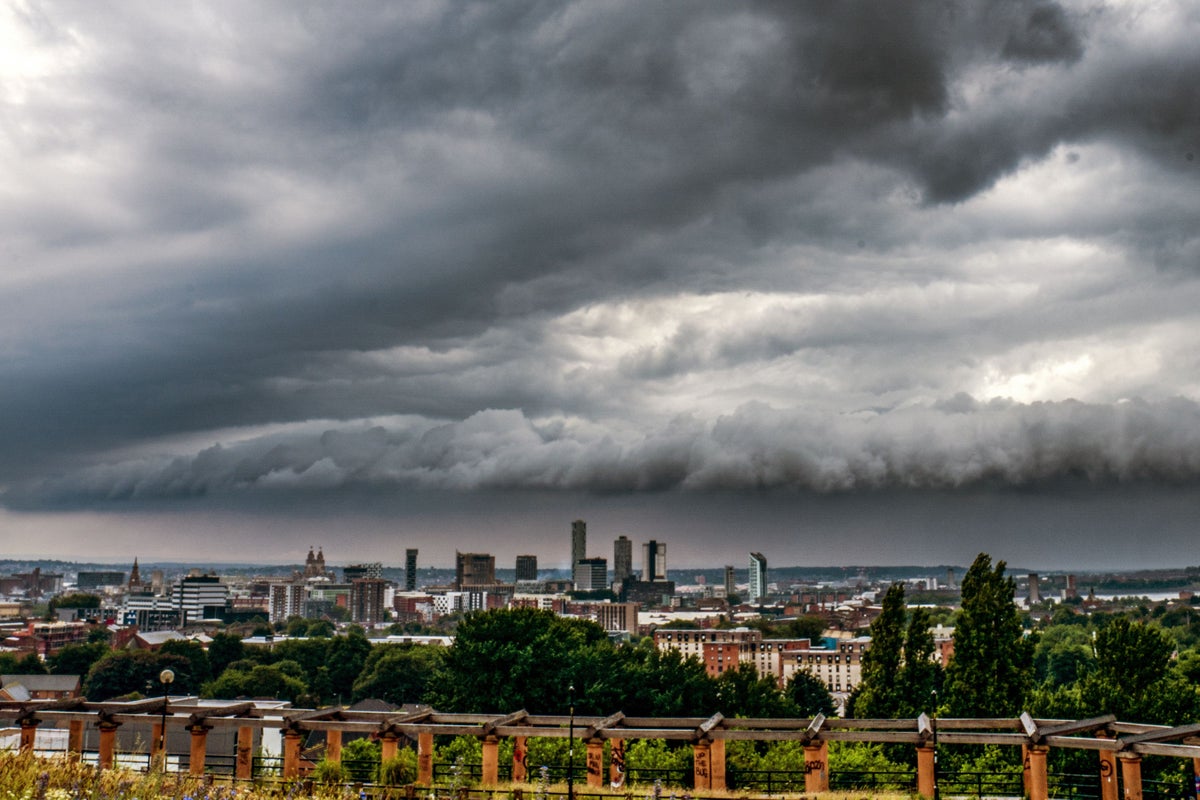
Weather forecasters say the UK is set for “heavy and persistant” rain in most parts this weekend, with wet and windy conditions threatening England’s chances of victory in the fourth Ashes Test at Old Trafford.
Hilly areas of northern England and southern Wales could see 80mm of rain over the coming two days, forecasters told Sky News earlier this week, just shy of the average UK rainfall for July of 88m.
Overall it is expected to be a “mostly damp” start to the school summer holidays with much of the country seeing a washout for the coming two weeks.
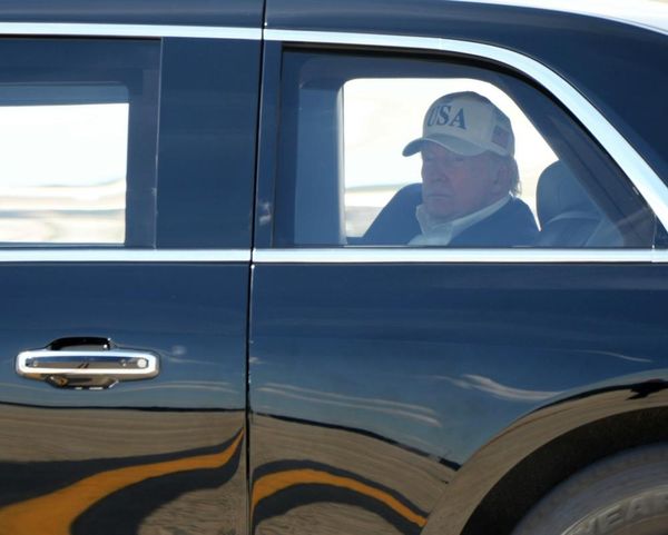
Fans shelter under umbrellas as rain briefly stops play on day three of the fourth Ashes Test at Old Trafford— (PA)
On Saturday, the weather will be mostly dry and bright in northern Scotland. However, the rest of the country should brace for a cloudy, wet, and blustery day.
While much of Europes swelters under a prolonged heatwave, conditions are looking very different for the UK. That’s because of the positioning of the jet stream, which is simultaneously bringing sustained low pressure to Britain and high pressure to the continent.
The conditions will remain generally cool and unsettled over the next week, the forecaster said. Showers or longer spells of rain, with strong winds in places and a risk of thunderstorms will persist starting next week.
There are no indications that the heat baking Europe could reach the UK, as the long-range forecast showed continued wet and windy conditions in the country to persist with some sunny spells.
It comes as millions of families are expected to take to the roads over the weekend for a day trip or holiday, according to the RAC.
And it dampens England’s prospects of winning the fourth Test in Manchester to take the series to 2-2 and force a decider. Australia are trailing England by 162 runs in their second innings, but rain is expected to arrive in the north west on Saturday morning and stick around throughout the weekend.
Rachel Ayers, meteorologist at the Met Office, said Britain could expect the weather to stay like this “for quite a while”.
“At the moment it’s divided, we sit on the cold side of the jet to the north of it, we’ve got low pressure coming.
“It can stay like this for quite a while as it has been for the last few weeks. It’s hard to say when it will all break down, it’s not looking like anything will soon.
“The heatwave is starting to ease a little in parts of Europe, but now the focus is moving to Italy and Greece away from Spain.”
The Met Office says it expects weather patterns to shift “by the middle of August”, meaning a break in the low pressure system and the arrival of warmer and more settled conditions.
“Looking at a longer range, it will be cool and changeable, into the second week of August it could be a little more settled,” Ms Ayers said.
It was around this time last year that the UK recorded its highest temperature ever at 40C on 19 July.
Forecasters say that even after the arrival of more settled conditions they don’t expect Britain to hit those kinds of temperatures again this year, however.