Although today marks the start of winter, December has become almost 2C milder on average in the last 100 years. Snow is a rarity, and rain much more likely than frost.
Sea temperatures and the direction of the wind always make a big difference to British weather but probably more so in this month than any other. With the days being so short and the sun weak, the warmth from the sea has a greater influence.
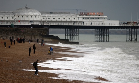
Along the south-west coast and the Channel the sea temperature is highest and was 14.4C at Brighton last week. Warmth is carried north along the west coast by the Gulf Stream and was at 12C in Blackpool. Scarborough on the east coast was colder by one degree and this difference will become much more marked as the month progresses.
With the average temperature on land being colder than the sea, it is obvious that a southerly or westerly wind is going to make Britain warmer. This radiator effect of the sea drops off quite quickly as the month progresses and carries on going down until the end of February, which is why February is generally the coldest month. It is not until late May that the sea temperature recovers to reach the November average.
None of this excludes extremes or cold snaps arriving unexpectedly in December. The recent experience of North America shows that anomalies can and will occur, not least because man-made climate change has altered the distribution of Arctic air masses, making forecasts beyond five days far more difficult.