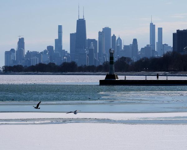
Typhoon Tapah powered north-eastwards through the East China Sea into the Sea of Japan at a forward speed of 18mph (30kph), reaching Japan just in time for the Rugby World Cup last Sunday. However, the match at the International Stadium Yokohama was more than 600 miles (1,000km) north-east from Tapah’s eye, so the city escaped the worst with only blustery showers. Elsewhere on Sunday, strong winds pummelled Kyushu, in south-west Japan, and delivered about 400mm (15in) of rain.
A record number of active tropical systems were whirling away in the Atlantic and Pacific basins last week, tying with September 1992. The oceans fuelled four hurricanes (Jerry, Humberto, Imelda and Lorena), as well as two cyclones (Kiko and Mario). There were five other tropical disturbances gaining momentum too. Hurricane Jerry was also seen on satellite imagery to have a plume of Saharan dust trailing in its wake, covering an expanse twice the size of India. This vast, dry dust cloud has the potential to suppress development of any tropical systems following in behind.
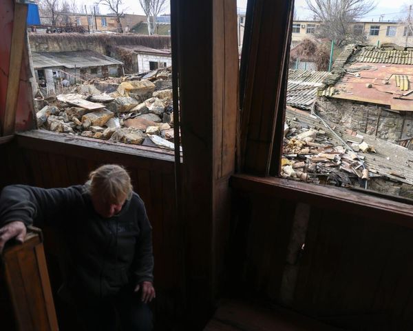
Flood waters inundated parts of north-easternmost Spain last week, owing to the combination of convective (generated by land heating) and orographic (generated by the lifting of air over mountains) rainfall; over 200mm of rain fell over the weekend.