Local wind conditions literally fan the flames of California’s destructive wildfires, turning minor fires into serious conflagrations. These fires might later produce destructive mud flows.
The sundowner wind typically starts in the early evening along the coast around Santa Barbara, where the mountains run parallel to the sea. The wind comes down off the mountains, gaining speed and getting warmer as it descends. By the time the sundowner reaches the coastal plain it is extremely hot and dry, and sometimes blowing at gale force – more than 39mph (63km/h). A similar wind, the Santa Ana or diablo (devil), affects northern California.
The wind carries burning embers ahead of the flame front. The fire spreads rapidly and can jump across fire breaks. Firefighters compare a wind-driven fire to a speeding freight train, impossible to stop.
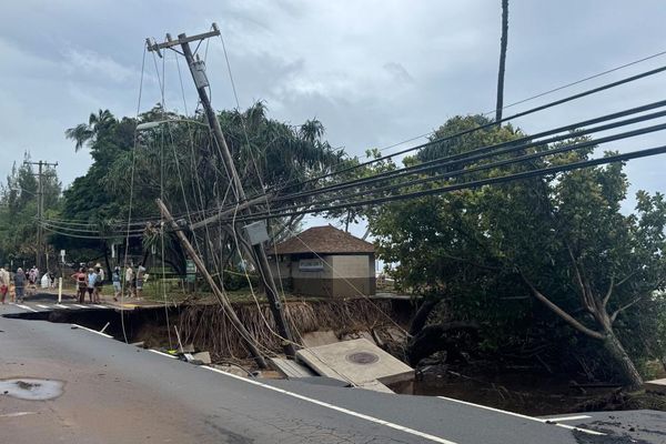
After such a fire, there is a new hazard from rain. The waxy coating that protects desert vegetation from the sun forms a water-repellent layer on the ground. Subsequent rainfall runs off rather than soaking in. This is why serious wildfires in southern California are often followed by debris flows, torrents of liquid mud and rock, sometimes powerful enough to carry away buildings.