Eight people have died and 27,000 have been evacuated after Tropical Storm Fengshen hit the Philippines during the weekend. Fengshen made landfall from the western Pacific Ocean near the municipality of Gubat on the southern tip of the island of Luzon, and while it remains on the weaker side in terms of sustained winds, the intense rainfall and a storm surge have caused significant damage across the region.
Anticipated waves of 2 metres (6ft) led the Philippines weather bureau, Pagasa, to issue a risk warning of moderate coastal flooding for the region. Twenty-seven thousand people were evacuated from the Albay province because of these warnings and moved to a safer area further inland. Despite the precautionary measures, five people died when a tree fell on to a house near Pitogo on Sunday morning.
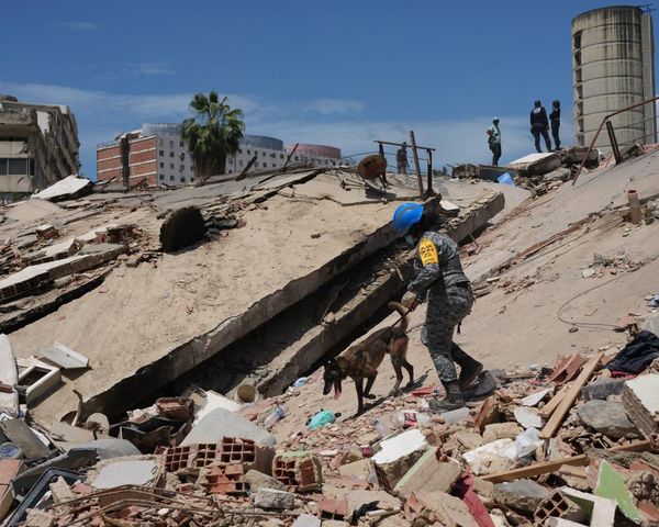
While the Philippines is no stranger to tropical storms, and systems stronger than Fengshen regularly affect the country, Fengshen follows a series of strong earthquakes that struck near the coast of the Cebu and Mindanao islands in the last few weeks, killing 87 people.
The storm will continue to track over the Philippines, bringing heavy rainfall and flooding before emerging into the South China Sea. The Joint Typhoon Warning Centre (JTWC) forecast Fengshen to strengthen slightly, and reach sustained winds of 70mph, as it takes a turn to the south-west, heading towards Vietnam. The 2025 typhoon season has already included storms affecting Vietnam with Typhoons Kajiki and Bualoi striking the country in August and September respectively.
Across south-east Asia, the north-east monsoon season is under way, bringing heavy rainfall to parts of Kerala and Tamil Nadu in India. Typically occurring between October and December, the north-east, or “retreating” monsoon, is a reversal of the wind direction across south-east Asia. This change of wind direction brings cool air down from China across the Bay of Bengal, triggering heavy rainfall and thunderstorms that move into eastern India. The India meteorological department has warned of further heavy rainfall this week as the season kicks in. Up to 100-150mm of rainfall is possible along India’s east coast over this week, bringing the risk of further flooding. There is also the potential for a tropical depression to form over the Bay of Bengal and track towards India, as the North Indian cyclone season gains momentum.