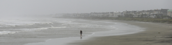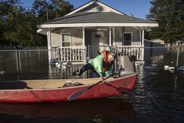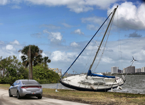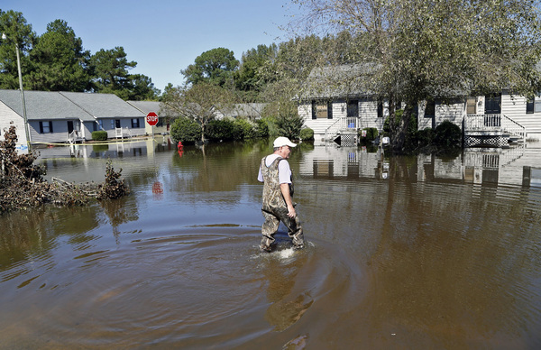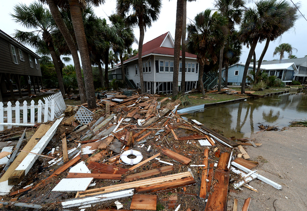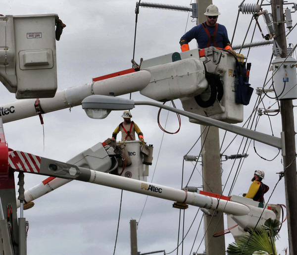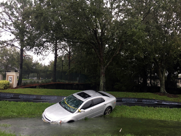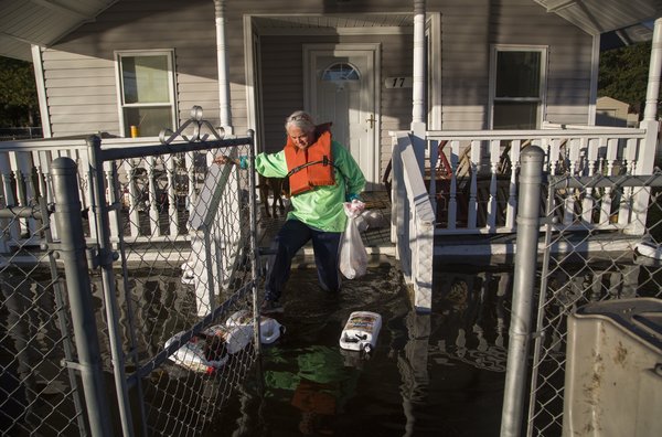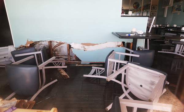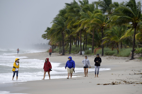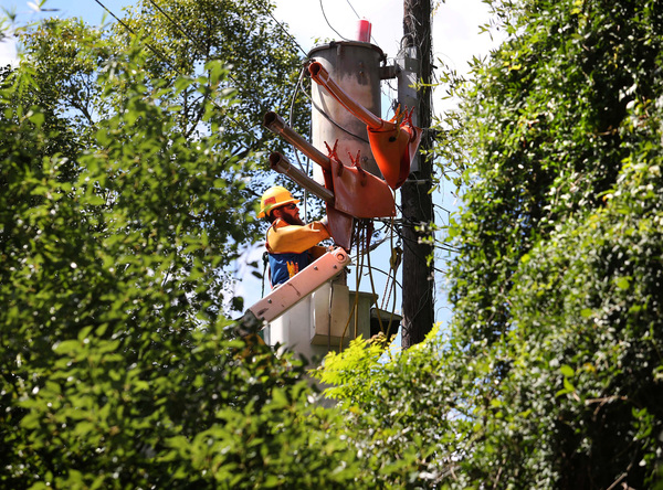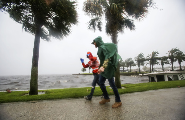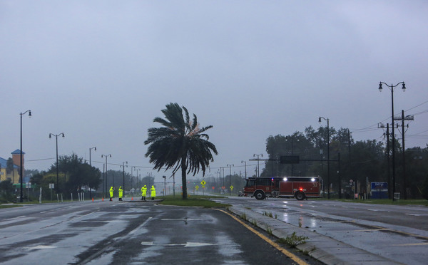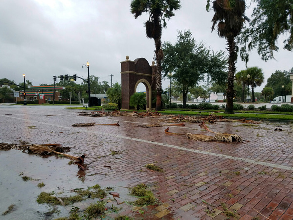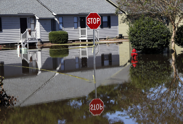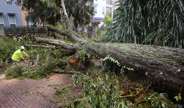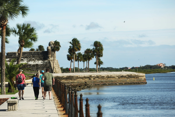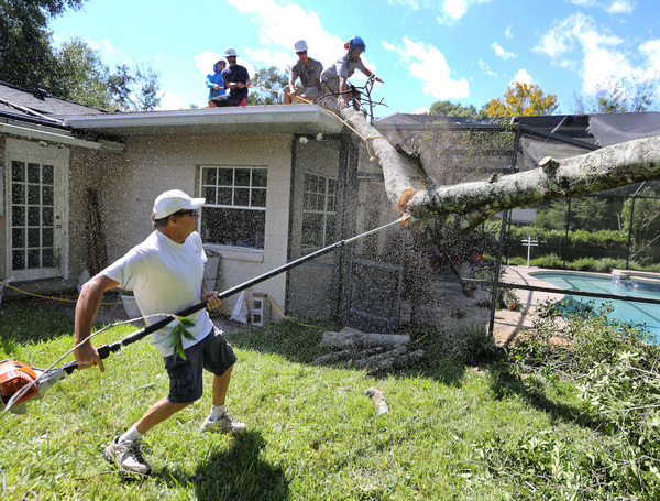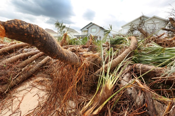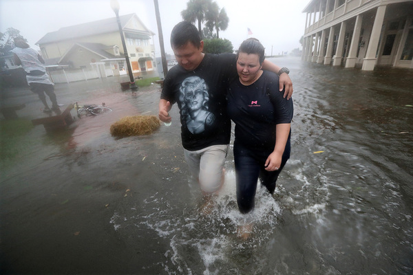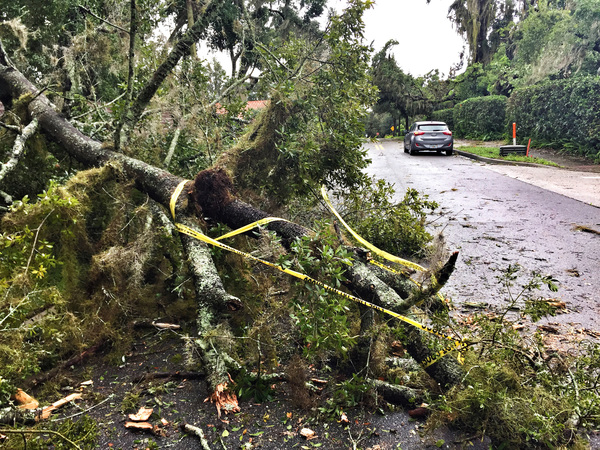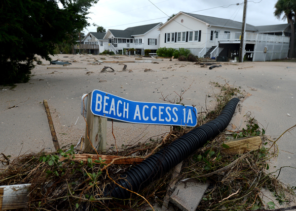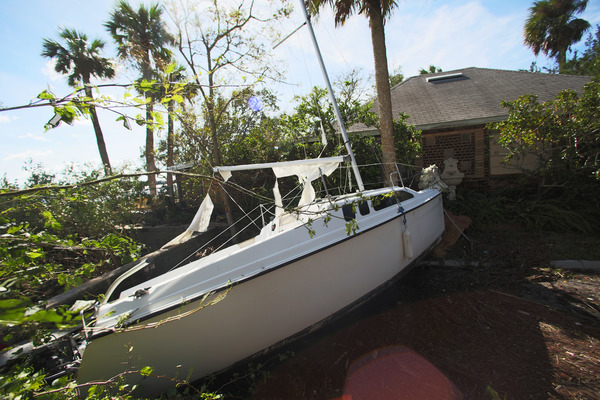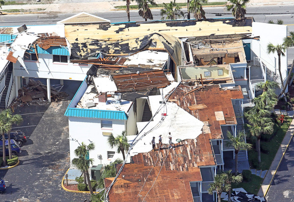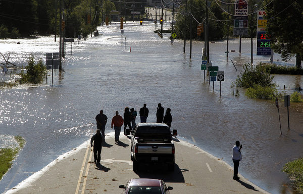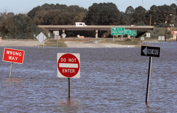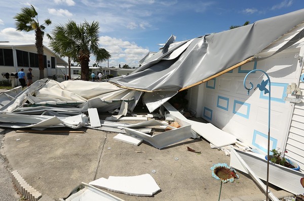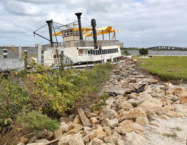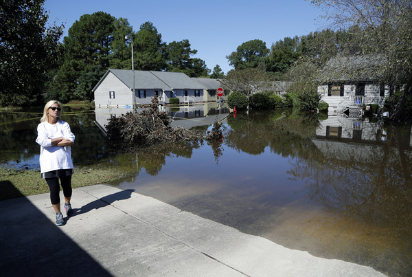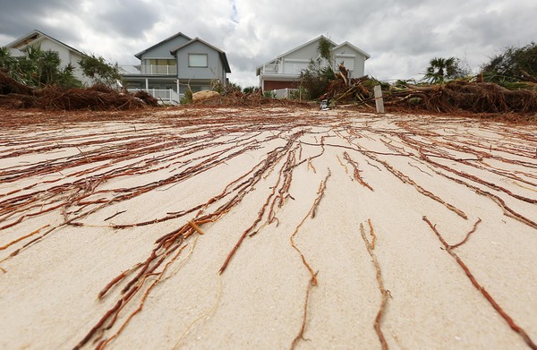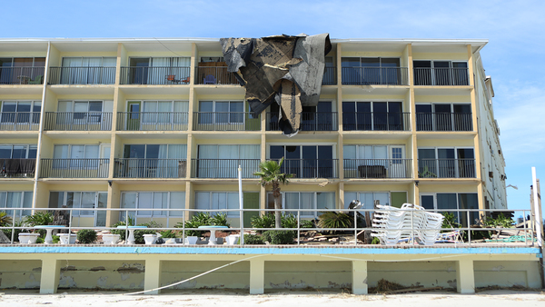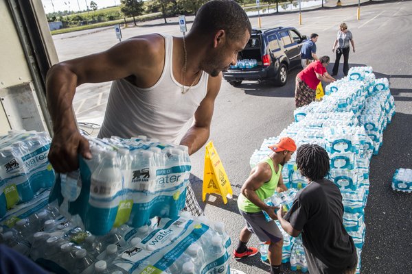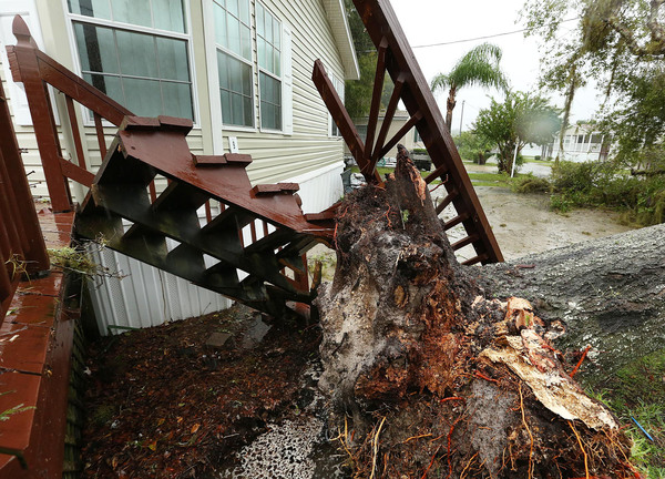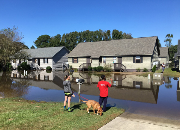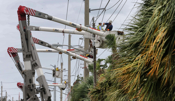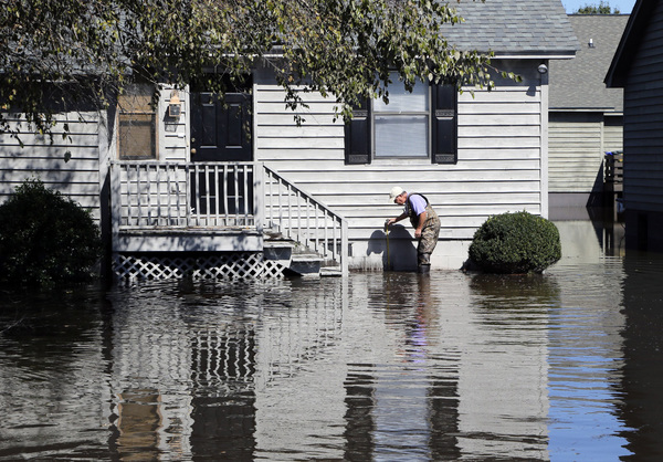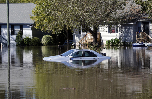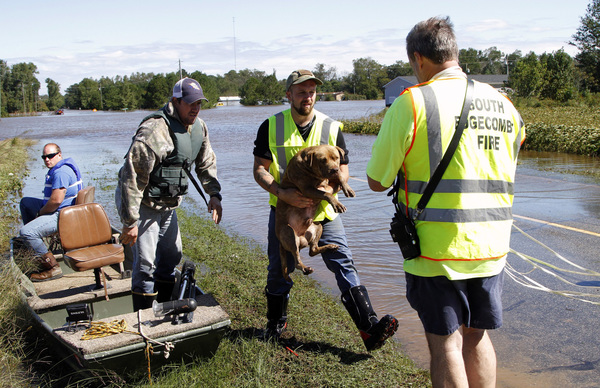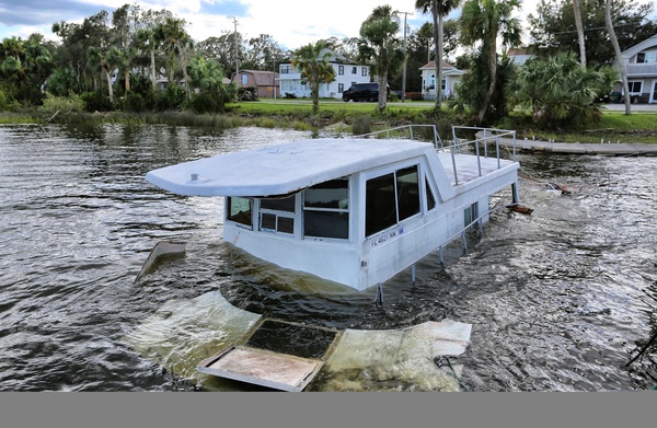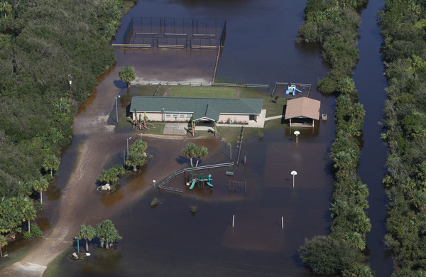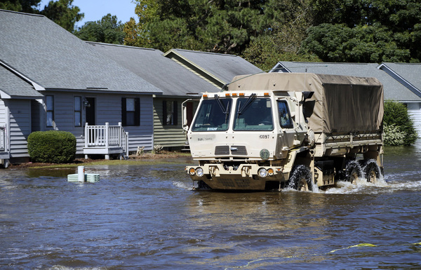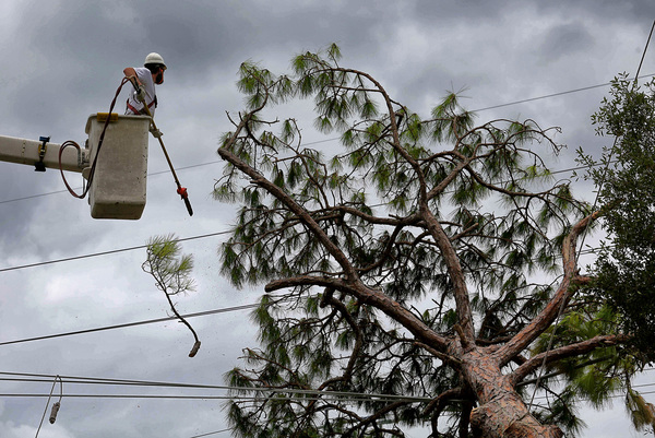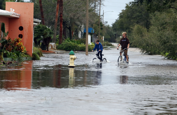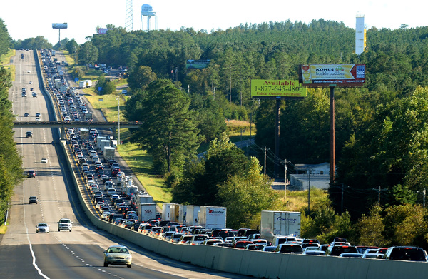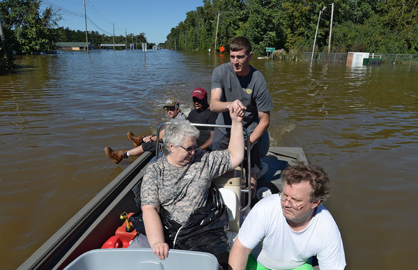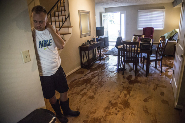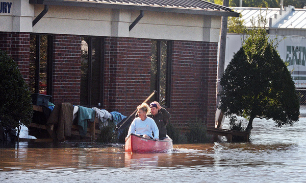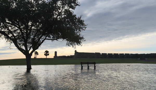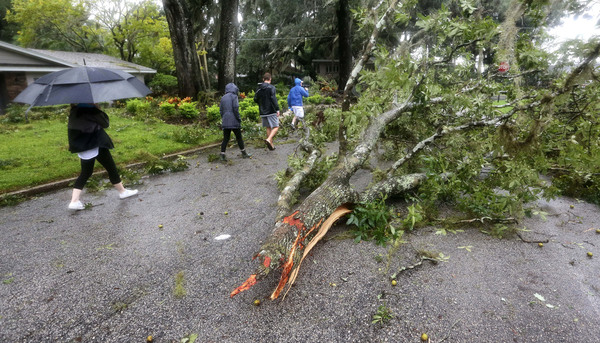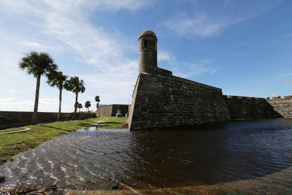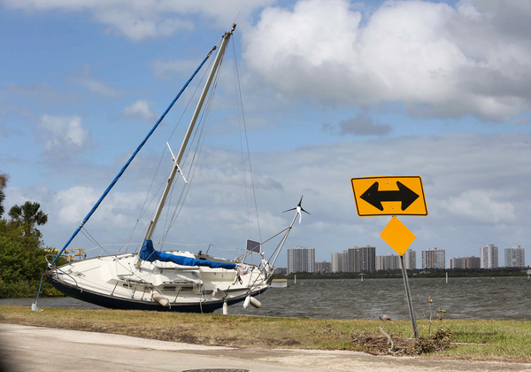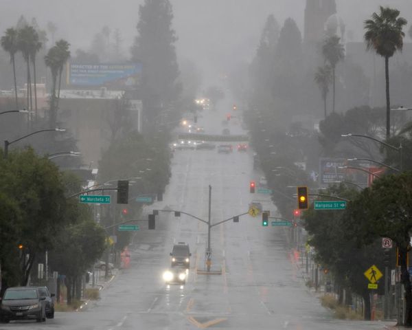
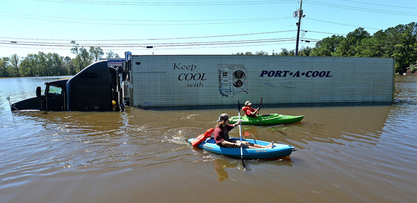
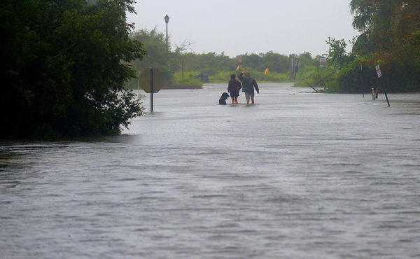
ORLANDO, Fla. _ Although Central Florida won't feel the brunt of Hurricane Matthew, the region is already experiencing flooding, damage and extensive power outages for more than 220,000 customers.
The storm, which weakened to a Category 3 hurricane overnight, is not likely to make landfall and looks like it will stay 20 to 30 miles offshore, according to Matt Volkmer of the National Weather Service in Melbourne.
"It could have been a lot worse," Volkmer said. "The issue right now is the outer wall diameter is just wide enough that we're going to see it move up Kennedy Space Center, Cape Canaveral and the barrier islands of Volusia county."

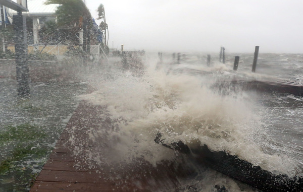
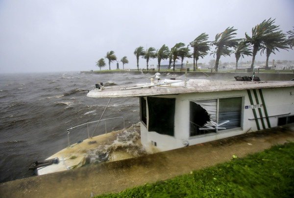
At 7 a.m., Matthew was brushing along Florida's east coast near Cape Canaveral, according to the NHC.
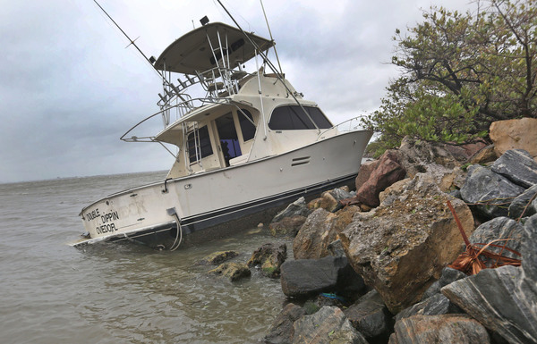
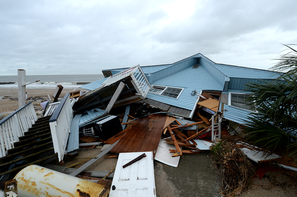
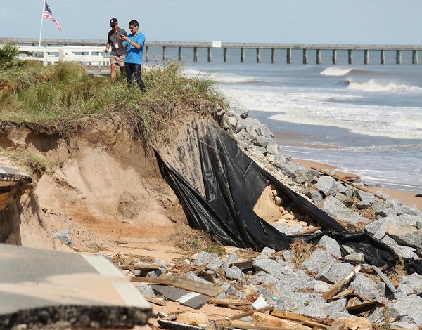
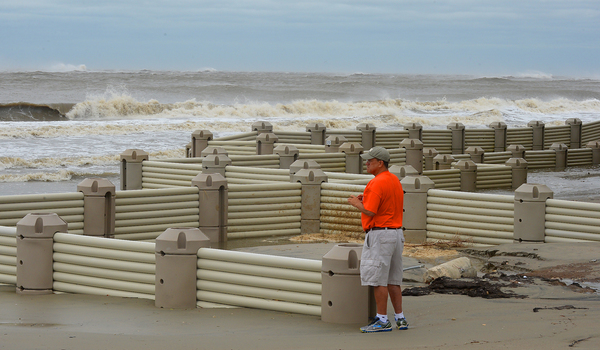
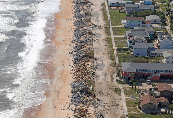
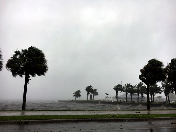
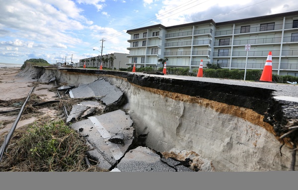
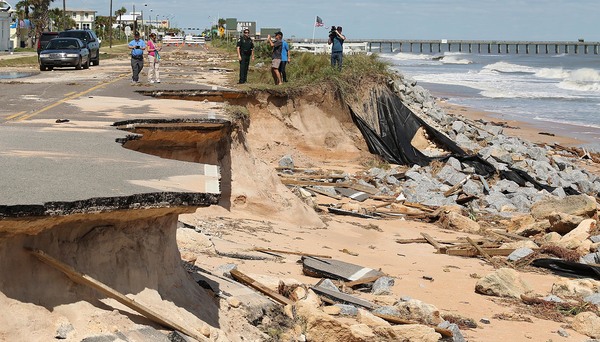
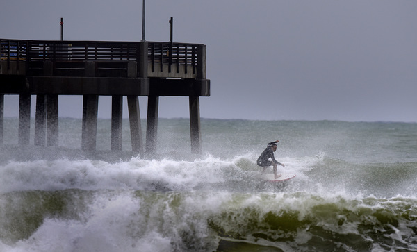
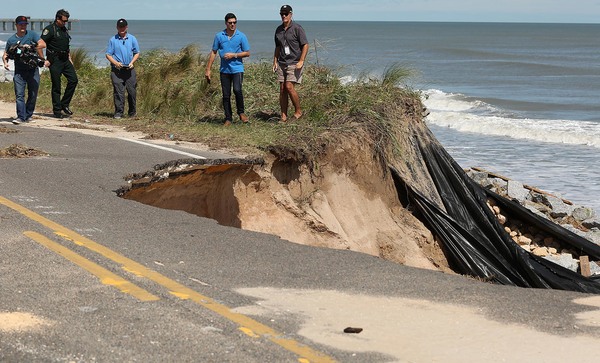
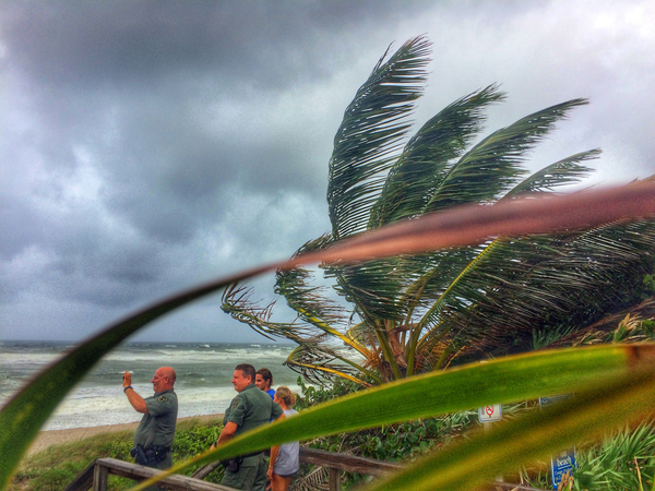
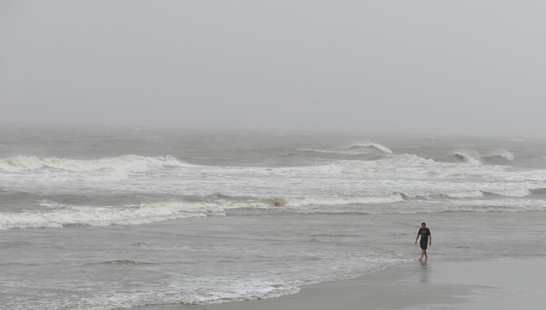
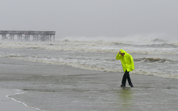
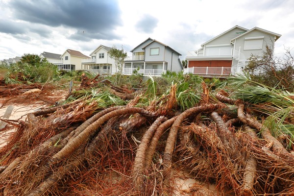
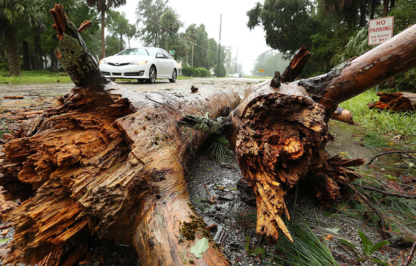
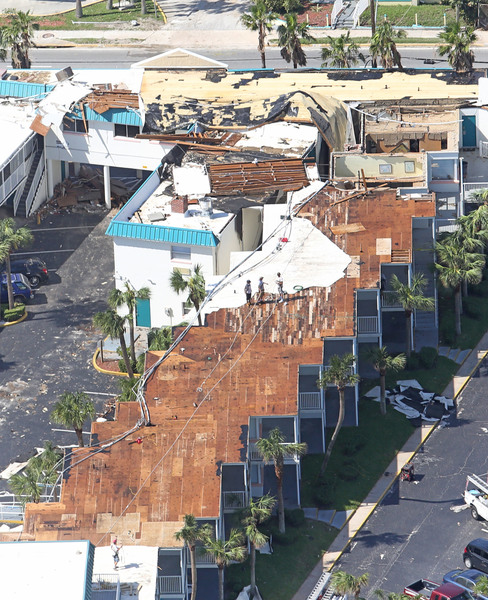
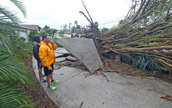
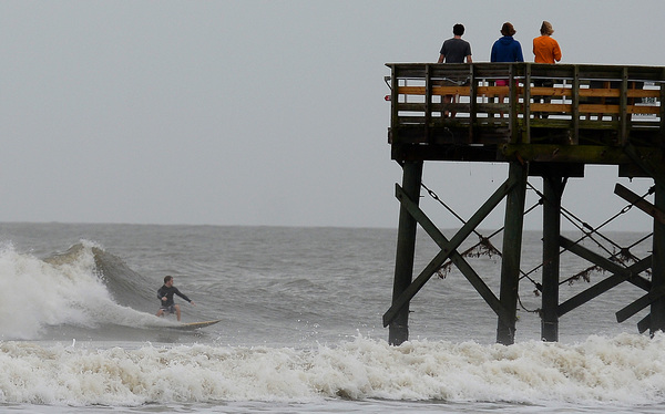
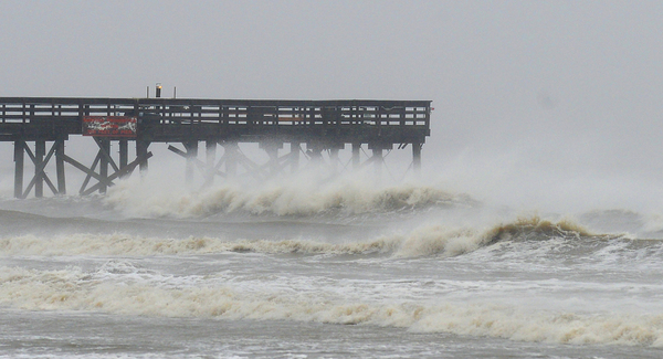
Forecasters said Brevard County is seeing sustained winds of 69 mph, and peak wind gusts have been measured at 107 mph near the tip of Cape Canaveral. In Volusia, 60 mph winds have been raking the coast. These two regions will be among the hardest hit.
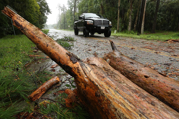
Frequent wind gusts up to 80 mph _ with some exceeding 100 mph out on the cape _ have destructive potential.
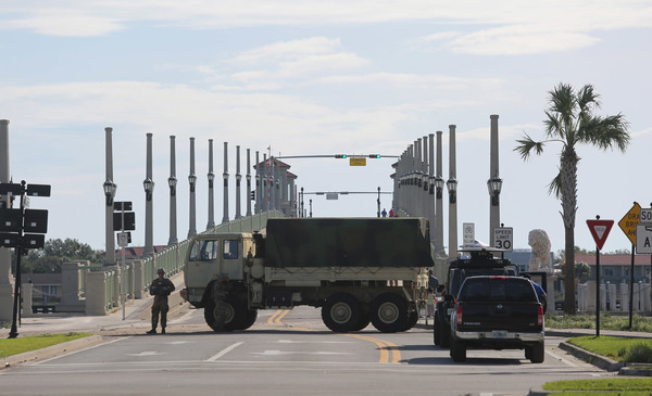
Earlier models showed Orlando's Orange County in the path of Matthew's core. That's no longer the case as the system has shifted significantly to the east. Hurricane-strength winds are not expected to pummel Orange, Seminole or Osceola counties. Hurricane warnings remain in those areas, but they could be downgraded by 11 a.m.
Matthew was about 45 miles east-southeast of Daytona Beach as of 8 a.m. It had 120 mph winds and was moving north-northwest at 13 mph.
Overall, the conditions are a lot weaker than what forecasters thought the storm would bring as it neared Central Florida.
"We've been really blessed," said WOFL-Fox 35 meteorologist Jayme King. "The slight jog to the east is going to be really beneficial to the coastal communities and all of Central Florida."
King said the storm was going to be catastrophic for Brevard and Volusia counties, but the slight adjustment has changed everything.
"It's really a different ball game now," he said. "This storm was going to be unlike anything these communities had ever seen. It's still a dangerous and powerful storm, but the outlook has improved significantly."
Satellite images show the storm becoming more "disheveled," according to the NHS. Its track continues to weaken over the next 48 hours.
After the storm finishes with Florida, some forecasts show it will move into Atlantic Ocean, then loop back around and hit the state again, this time in South Florida. Forecasters say the odds of that happening are about 50-50.
King said if the storm does come back, it will do so as a weak tropical storm.
In the Atlantic Ocean, Hurricane Nicole strengthened into a Category 2 storm late Thursday but has started to weaken, according to a 5 a.m. advisory from the National Hurricane Center. Forecasters measured 100 mph winds with higher gusts. It's expected to continue weakening, meteorologists say.