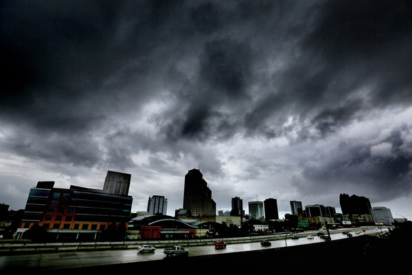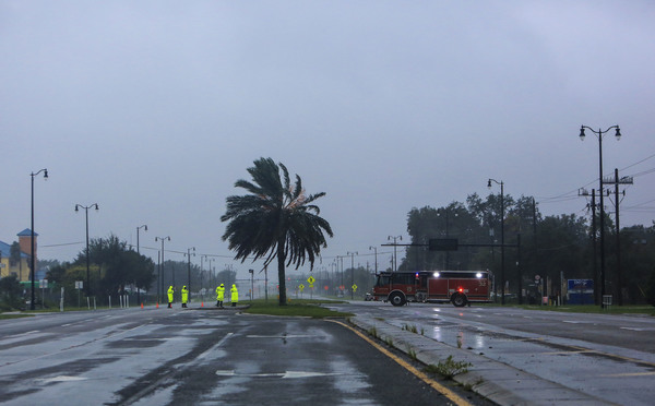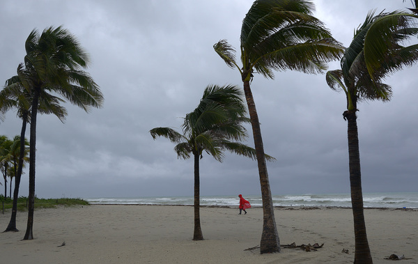
MIAMI _ Watches were issued for much of South Florida and the Keys Tuesday as Hurricane Matthew, a powerful Category 4 storm, continued to pound Haiti.
A tropical storm watch covered Miami-Dade, Monroe and much of Broward counties, extending from the Seven Mile Bridge north to Deerfield Beach and including Lake Okeechobee. A hurricane watch stretched from Deerfield Beach north to Palm Beach County and the Treasure Coast, and up to the Brevard and Volusia county line in Central Florida.
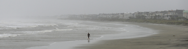
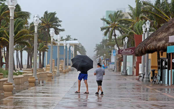
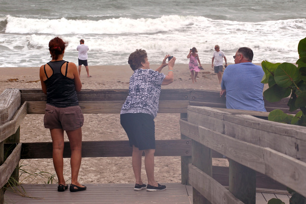
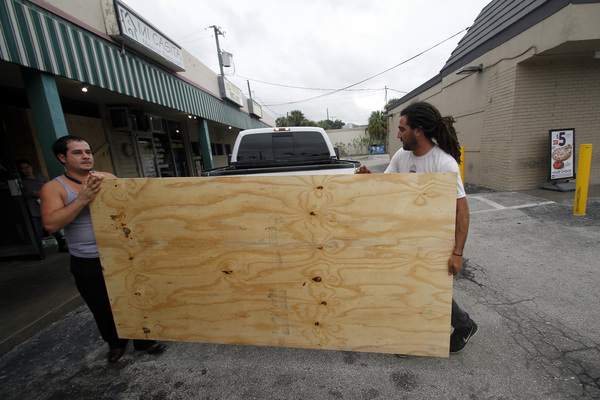
A watch means that the region could begin to feel Matthew's fierce winds within the next two days, leaving little time to prepare along a coast that hasn't been hit by a major hurricane in more than a decade.
"You need to take this very seriously today and tomorrow," National Hurricane Center Direct Rick Knabb said Tuesday morning. "The impacts are going to happen no matter what."
At 11 a.m. EDT Tuesday, as the storm pushed north at 10 mph about 90 miles south of the eastern tip of Cuba, winds reached 145 mph, National Hurricane Center forecasters said. Matthew is expected to near the Central Bahamas Tuesday night and make a turn toward the north-northwest by Wednesday, followed by a northwest turn Wednesday night. A steering ridge is expected to keep turning the storm toward Florida. However, after three days forecasters say the ridge could shift and push the storm back to the east.
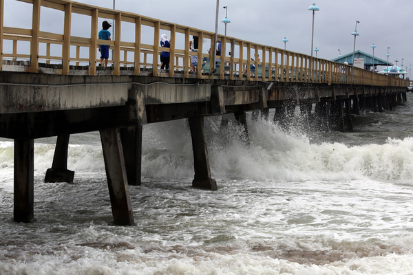
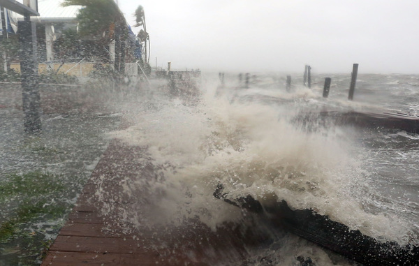
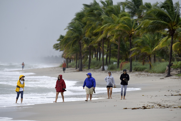
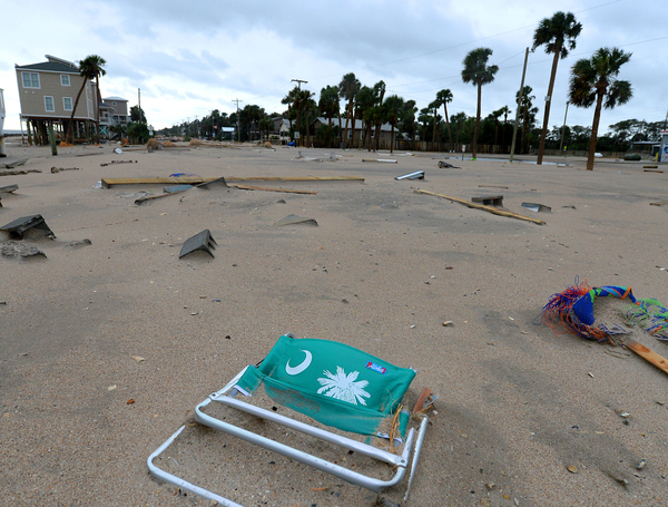
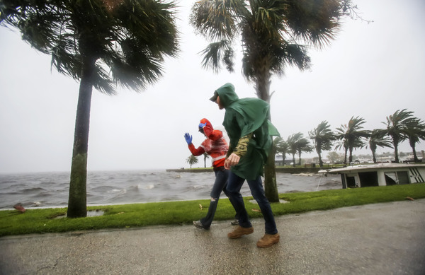
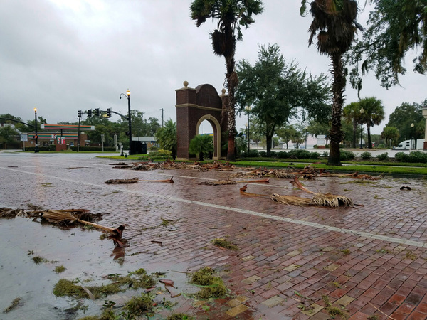
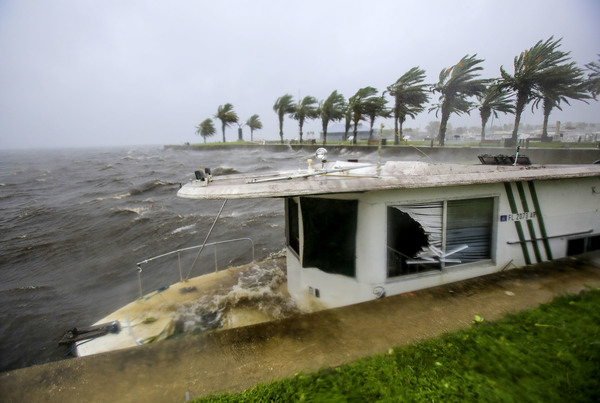
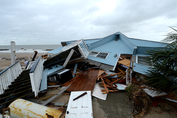
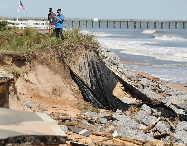
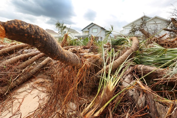
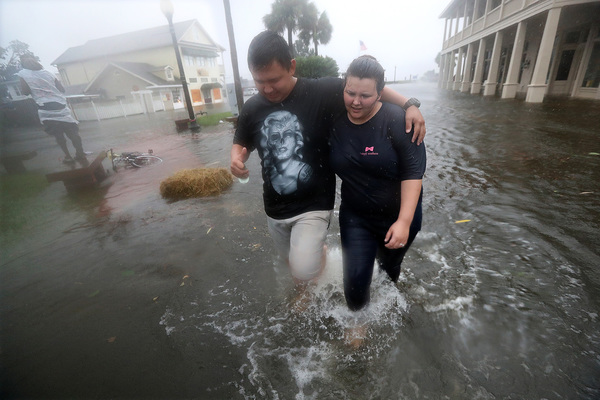
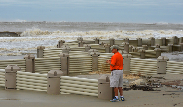
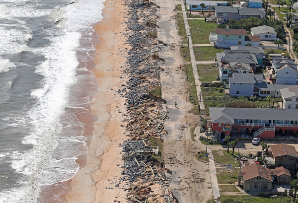
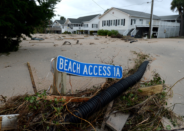
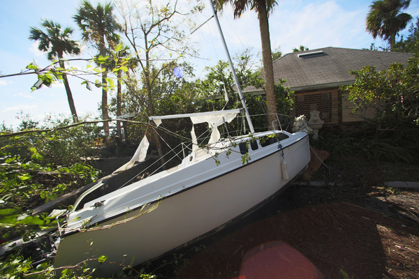
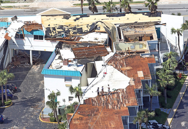
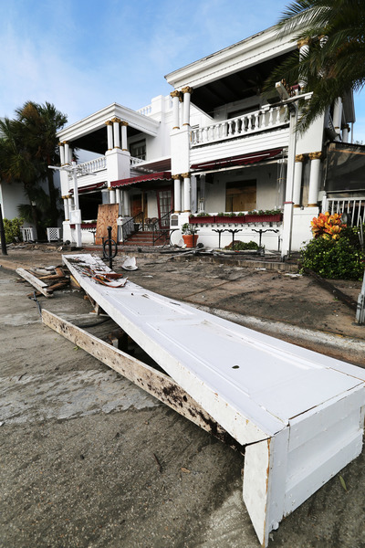
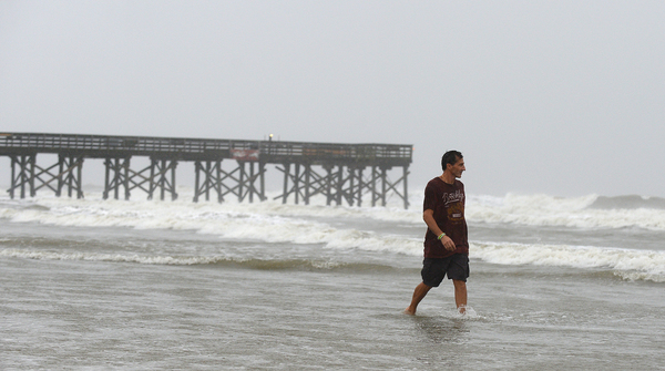
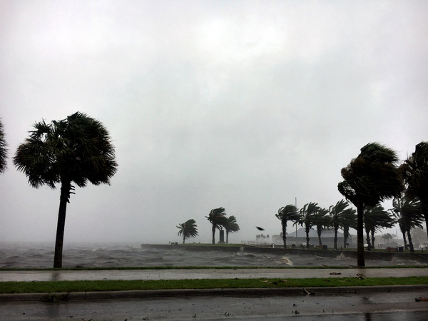
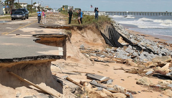
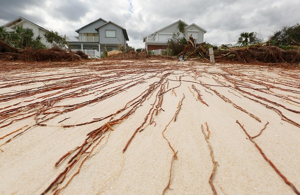
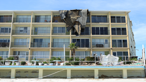
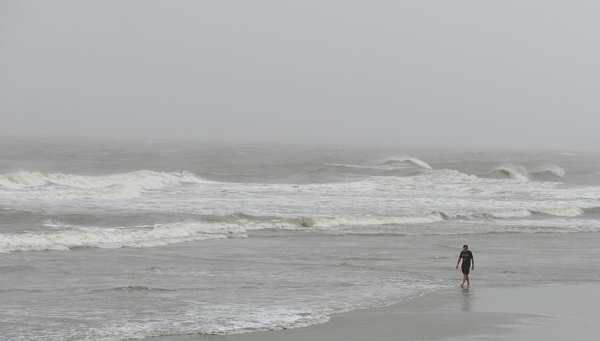
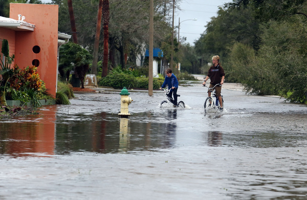
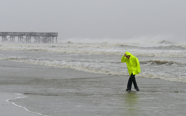
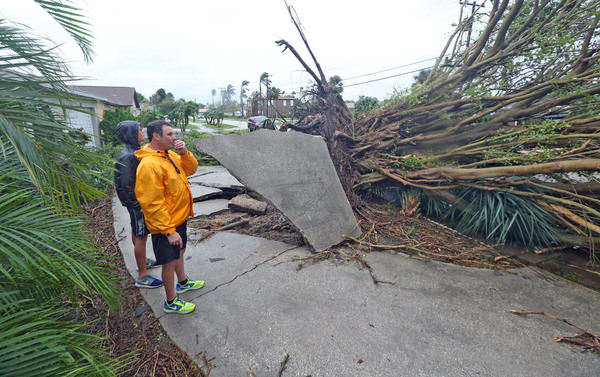
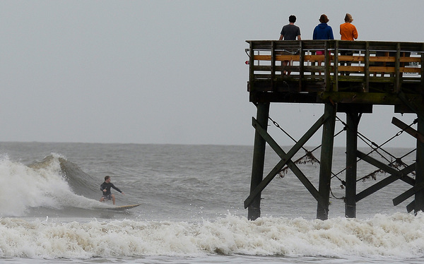
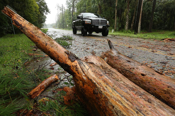
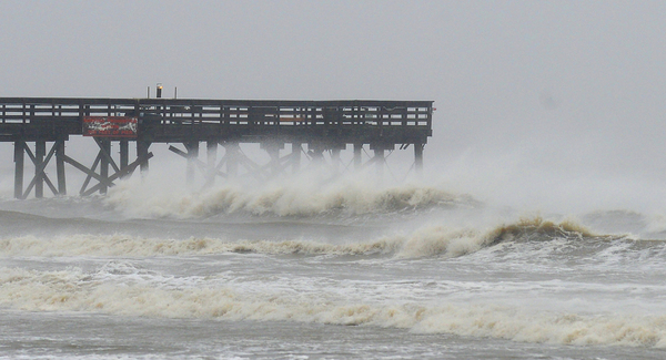
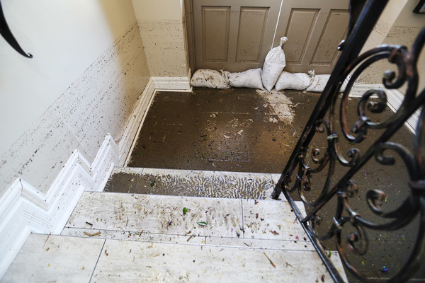
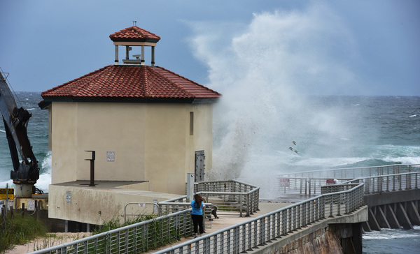
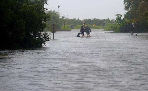
Even if Matthew just brushes the state, hurricane experts warn the sprawling, wet storm could deliver punishing floods and storm surge.

"It's not just a wind event. Heavy rainfall and inland flooding will be more of a hazard the closer this gets," Knabb said.
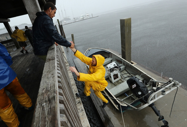
Intense rain hammered Haiti early Tuesday, triggering mudslides on the southwest coast and washing rivers over their banks.
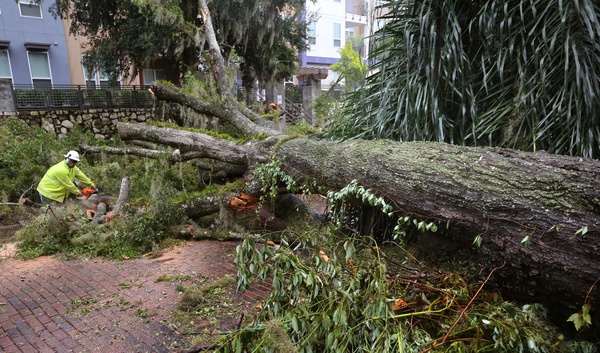
As Matthew nears Florida, it is likely to remain a dangerous Category 3 or 4 storm. The last storm to deal such a severe blow was Wilma, which made landfall just south of Marco Island in 2005.

"It will take it a day or so to re-energize, but I think it's likely to be a 4 again by Thursday morning when it's getting near Florida," Weather Underground meteorologist Jeff Masters said.
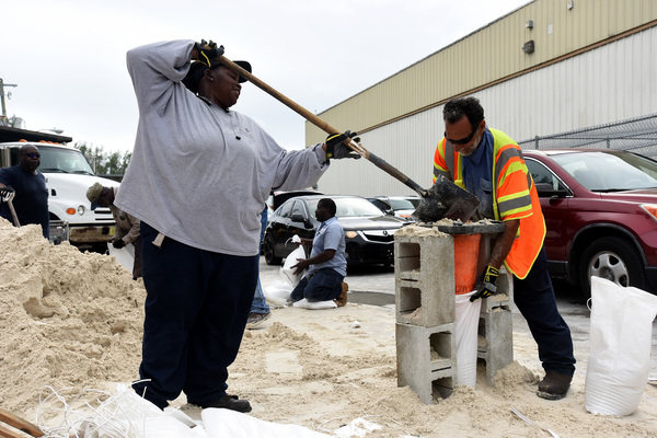
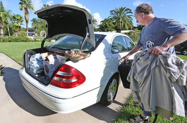
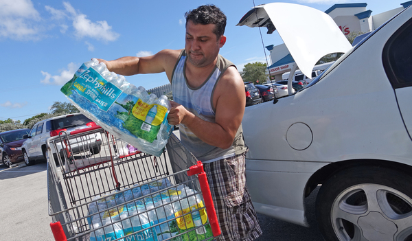
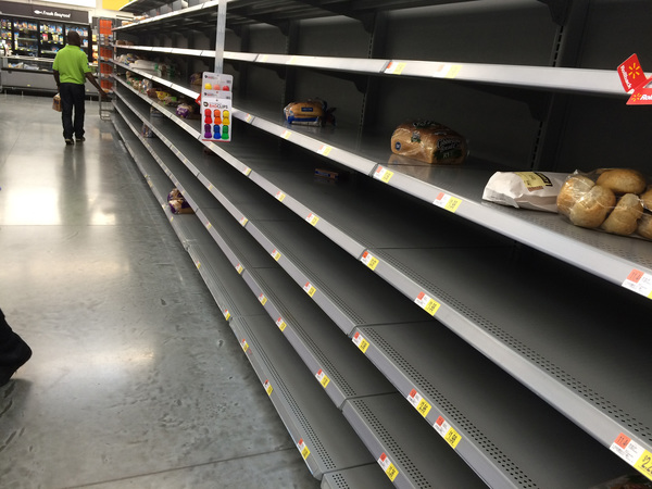
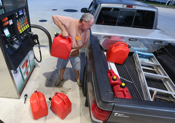
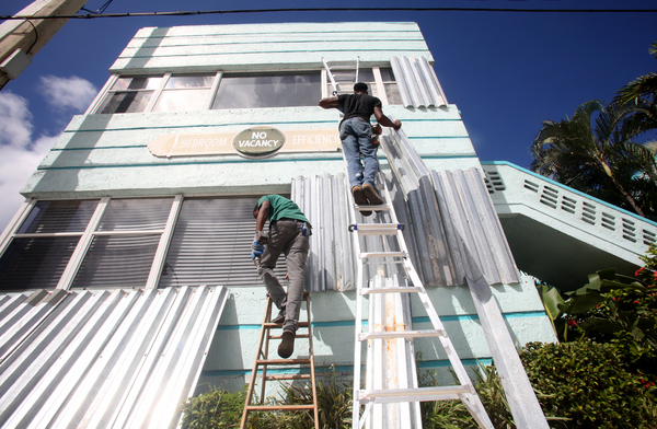
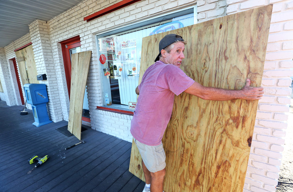
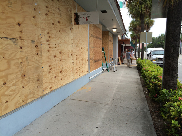
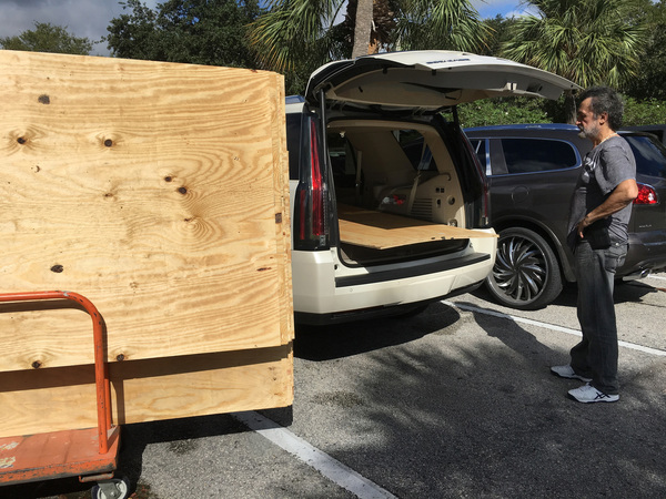
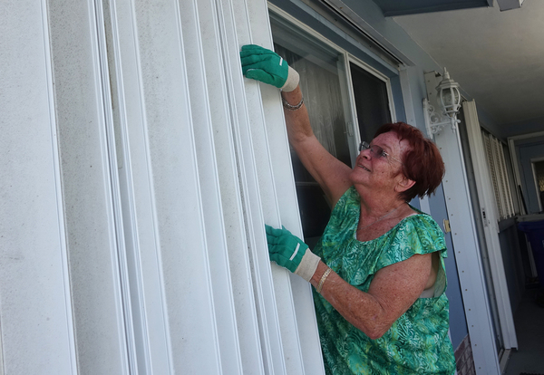
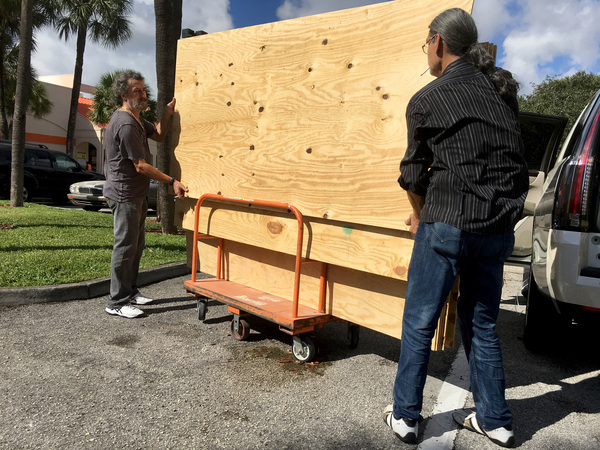
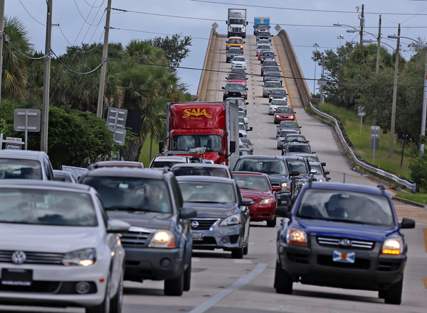
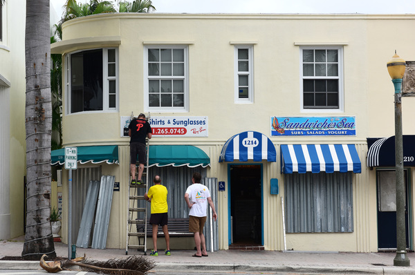
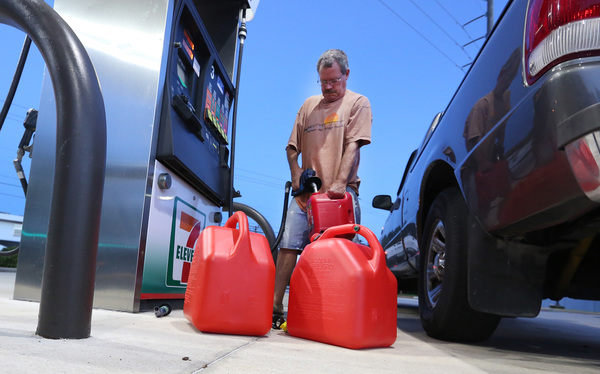
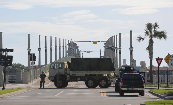
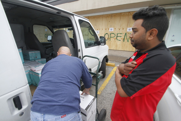
No evacuation plans have yet been announced for Miami-Dade County, Mayor Carlos Gimenez said in a press briefing. But he urged residents to prepare for the storm now, stocking up on water, batteries and supplies, and securing homes and businesses.
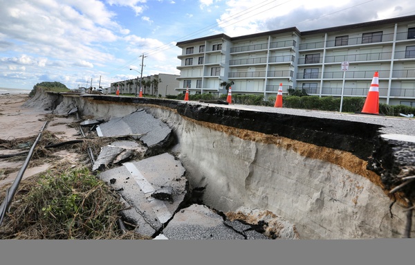
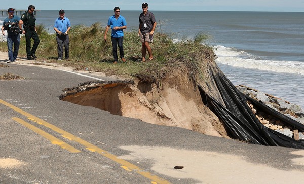
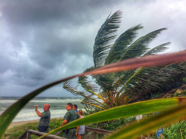
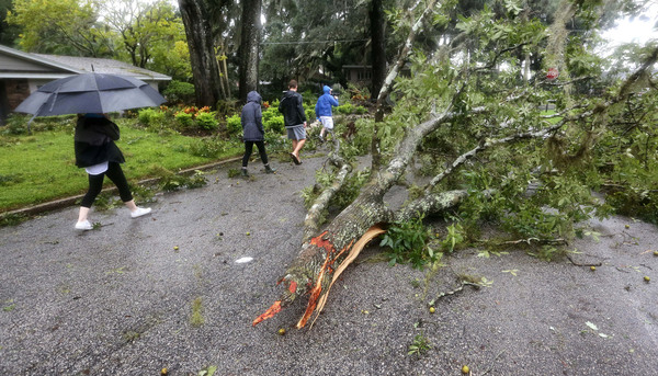
At another briefing in Marathon, Gov. Rick Scott warned residents living along the I-95 corridor to ready for "direct impacts" from the storm that may include tornadoes, heavy rain, high winds and beach erosion.
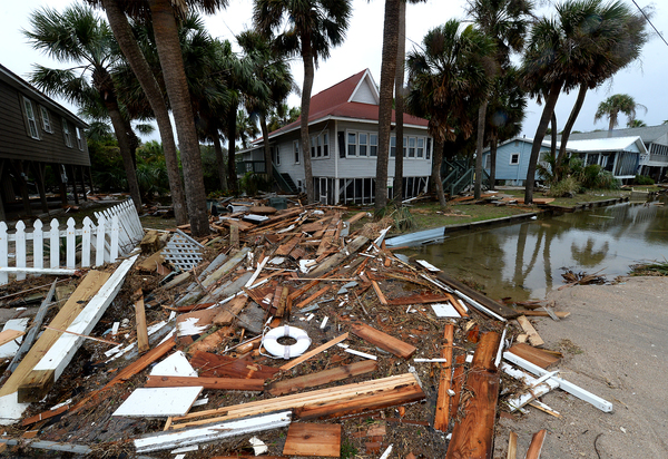
As Florida braces, Matthew's devastating winds and rain continued to blast Haiti, leaving a wake of destruction. The center crossed southwestern Haiti about 7 a.m., becoming the first major hurricane to strike the island in 50 years. By 11 a.m., the Rouyonne River topped its banks and washed out a highway west of Port-au-Prince. Widespread flooding and dangerous mudslides are expected across the island where more than 55,000 still live in tents following the catastrophic 2010 earthquake that killed more than 200,000 people.
In the Dominican Republic, three children were killed when the walls to their house collapsed in a neighborhood of Santo Domingo, authorities said. An elderly resident in a neighboring town was also killed.
Across the Caribbean, hurricane warnings remained in effect for Haiti, the eastern tip of Cuba to Las Tunas, and the Bahamas. Tropical storm conditions will likely spread across the northern parts of Haiti, eastern Cuba and the southeastern Bahamas later Tuesday. Heavy rains and winds are expected to begin lashing the central and northwestern Bahamas Tuesday night and Wednesday.
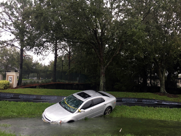
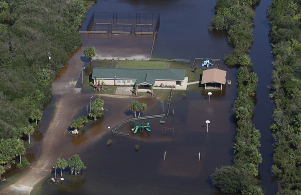
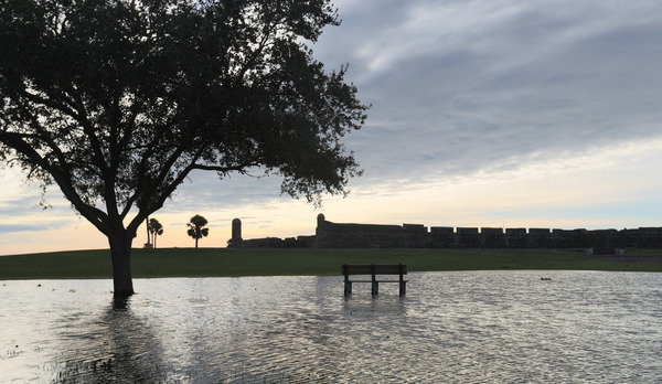
With Florida likely to get drenched on the heels of a record wet winter, water managers began lowering some 2,000 miles of canals and waterways over the weekend, said Randy Smith, a spokesman for the South Florida Water Management District.
"If you don't and the canals are at a higher level and all the sudden you get hit with a lot of rainfall, the canals can't hold it," he said.
The U.S. Army Corps of Engineers, which manages water levels in Lake Okeechobee to protect its aging dike, will release information later Tuesday about preparations in advance of the storm, a spokeswoman said. Flushing over the winter triggered by record-breaking rain left the Treasure Coast slimed with toxic algae and inflamed residents, who for years have complained about the polluted water released to protect the dike.
Also on Tuesday, another wave about 525 miles northeast of San Juan, Puerto Rico became Tropical Storm Nicole. Sustained winds reached 50 mph as the storm headed northwest at 8 mph for Bermuda, but forecasters say it will likely weaken.