The warmer temperatures we've enjoyed so far this year are set to continue - but not without a late-winter bite.
The National Institute of Water and Atmosphere (NIWA) today released its climate outlook for the next three months, painting a picture of higher temperatures for all regions but a mixed bag of rainfall levels.
Until the end of October, temperatures were "very likely" - with a chance of 65 to 70 per cent - to be above average everywhere, although frosts and cold snaps would still occur in cooler places from time to time.
In the north and west of the North Island, along with the west of the South Island, rainfall totals were predicted to be either near or above normal.
Levels in the east of the North Island and the north of the South Island sat more in the near-normal range, while eastern areas of the South Island were most likely to get either near or below normal levels.
In the tropical Pacific, El Nino-Southern Oscillation (ENSO) neutral conditions lingered, while sea surface temperatures along the eastern equatorial Pacific remained near or slightly below normal.
As a whole, the tropical ocean-atmosphere system still showed a leaning towards La Nina system, but with a slight weakening of the signals observed in a record-breaking June.
For the next three months, weak anomalously low pressures were forecast around New Zealand and were likely to be accompanied with unsettled conditions, NIWA reported.
Anomalously high ocean temperatures around the country meant warmer and more humid air masses were likely to affect New Zealand, especially the North Island, and consequently there remained an elevated risk for significant rainfall events and severe storms.
NIWA meteorologist Chris Brandolino said while the period generally looked to be warmer, the first half of August was predicted to be chilly.
This came as the MetService forecast a low pressure system developing over the Tasman Sea that was expected to approach New Zealand overnight on Tuesday.
This would bring periods of rain to many parts of the country on Wednesday and throughout the rest of the week.
"The low pressure system will cause an east to southeast flow to develop over the South Island on Wednesday, and further north later in the week," MetService meteorologist Claire Flynn said.
"This will bring rain to many places, but particularly eastern areas."
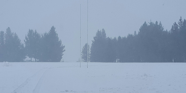
With cold air coming from the southeast, snow levels would gradually be lowering during Wednesday, and the cold air would hang around for the rest of the week.
Presently, there was some uncertainty with regards to which areas will get the heaviest snow, and how low exactly the snow would go.
"At this stage, it looks as though Otago and inland areas of Canterbury and Southland are looking to get the lowest snow, but this will become clearer as we get closer to the event," Flynn said.
"This period of snow will be great news for ski fields, but may be disruptive to travel."
It was unlikely the late cold blast would be enough to balance out the overall climate of winter 2016 back to normal temperatures.
"June was very warm, July was warm, August may end up being average; but when you look in the rear-view mirror, it will be seen as a warm winter, and that was largely on the back of June," Brandolino said.
The fact that the year to June had proven the warmest first six months on record raised the question of whether 2016 would ultimately end up being our hottest year yet.
"Just that it was so warm for the first six months, if every single month from July to December ended up being average, it'd still be enough to be the second warmest year of all time."
The pattern could be put down to plenty of warm winds from the north, very warm ocean temperatures around the country, and the background effects of a warming climate system.
Brandolino said that while climate change was part of a larger recipe, its role could still be pin-pointed through certain indicators.
"The previous record which we broke with our warm first six months was set in 1938; so if you asked how northerly the winds were then, you'd find there were a lot more of them than in 2016.
"So, in other words, we were able to not only reach, but exceed, the record with less of a northerly wind."
Outlook for Northland, Auckland, Waikato, Bay of Plenty
• Temperatures are very likely to be above average (70 per cent chance).
• Rainfall totals are equally likely (40 per cent chance) to be above normal or near normal.
• Soil moisture levels are equally likely (35 per cent chance) to be in the near normal or above normal range.


