After a horror three months of bushfires, smoke haze and storms, the Bureau of Meteorology has confirmed the most recent summer is shaping up to be one of the warmest on record.

The bureau said preliminary data from the 2019-20 summer showed it was likely to be among the three warmest seasons on record for daytime temperatures since 1910.
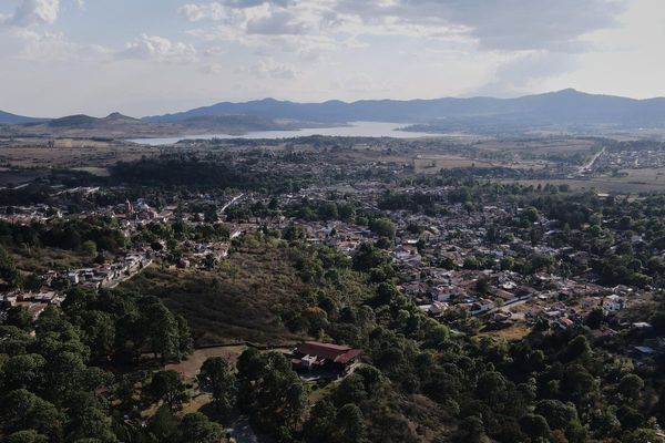
Temperatures across the three-month period were warmer than average in the ACT and NSW with the trend expected to continue into autumn, which begins on Sunday.
Climatologist at the bureau Dr Andrew Watkins said despite large rainfall that fell in Canberra and much of the east coast in February, the most recent summer was still drier than average.
"The rainfall helped contain many of the long-lived bushfires in the east and helped ease drought conditions in some locations," he said.
"But many inland regions experienced only patchy rainfall and we still need to see sustained rainfall to relieve drought in many areas.
"February saw a bit more rainfall closer to the coast, and some pockets are likely to see some of the wettest Februaries on record."
December was the warmest month of the summer with mean maximum temperature across NSW and the ACT being 4.3 degrees above the long-term average.
"It was very warm over the summer for day and night-time temperatures," Dr Watkins said.
"It was well above two degrees hotter across NSW and the ACT on average.
"Although the extra moisture and cloud moderated temperatures compared to the record warm December, January and February will still rank among the 10 warmest on record for the country as a whole."
While daytime and nighttime temperatures for autumn are expected to be warmer than average, Dr Watkins said there were no strong indications the season would be wetter or drier than usual.
READ MORE:
-
January 2020 one of Canberra's hottest months on record
-
Sunshine one day, rain the next: Canberra's strange summer weather continues
-
Canberra records highest minimum overnight temperature as city swelters
-
Fierce winds warning for Canberra region
- Canberra storm has been declared a catastrophe with thousands of claims made
"There's the prediction for above-average rainfall to start off autumn, but easing back to a more neutral or average pattern for the rest of the season," he said.
"Typically in autumn our main climate drivers are resetting, which means they're exerting less influence on our weather patterns.
"This means we can expect our weather over the coming month or two to be driven by more local conditions, and that makes the seven-day forecast an important tool for assessing upcoming rainfall."
The start of autumn in the nation's capital is expected to be warm with temperatures set to reach a high of 31 and a low of 15 with partly cloudy conditions forecast.
The early stages of next week will see temperatures hover around the high 20s and only a slight chance of a shower.