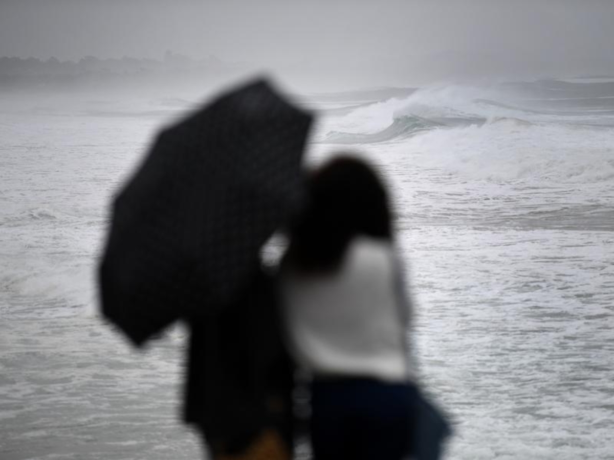
Unusual autumn thunderstorms are expected to hit much of the NSW coast, with hail, damaging winds and heavy rain possible in the state's northeast corner.
The Bureau of Meteorology is warning a trough of low pressure will move across NSW in the coming days, bringing with it the risk of severe thunderstorms in the state's east.
Heavy rainfall is forecast for the south coast on Tuesday, with small hail also possible.
Meanwhile, in the state's north east - from the Queensland border to the mid-north coast - large hail, damaging winds and significant downpours are expected.
"Mid-May is a very unusual time of year to see severe storms in NSW, but in this particular case it's due to the combination of having a relatively significant amount of humidity around for this time of year, and also a very powerful upper level system moving through," forecaster Jake Phillips said.
The storm activity will likely begin early in the morning, before peaking in the afternoon and petering out over Wednesday and Thursday.
Sydney and the Hunter region should be spared, but the BOM is urging all residents along the coast to be prepared for severe storms.