Met Office forecasters have issued a yellow warning for snow and ice across large areas of Scotland tomorrow.
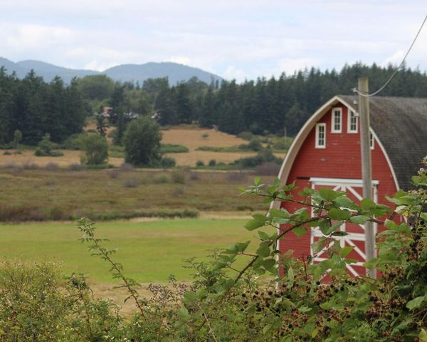
The western Highlands and Lanarkshire are expected to be worst hit, with up to 10cm of snow expected to fall on Wednesday and Thursday.
The cold snap is expected to bring travel disruption and could hit road and rail services across the region.
The Met Office also said icy surfaces could pose a risk to pedestrians with temperatures set to drop as low as -1.6C overnight.

A cold winter snap will see temperatures plummet with strong biting winds sweeping in heavy rain, sleet and snow across Britain.
Bonnie Diamond from the Met Office said: "From tomorrow a much colder air mass will affect the UK, it will be quite breezy too.
"It will be cold from tomorrow but Scotland will see the lowest temperatures - about 6 to 5 degrees celsius. But it will feel much colder due to the wind chill factor.
"Frequent showers and snow of 10cm or more by Thursday."
Low pressure means unsettled conditions for days as December gets off to a chilly start with widespread frost following days of thick fog and mist which marred the end of November.
An 11-day flurry of snowfall has been forecast from Thursday, with the Scottish highlands expected to see the worst of it.
BBC forecaster Stav Danaos also said: "It's going to be cold, turning much colder in the northwest - and that sets the scene really as we head into Thursday and Friday, it'll be very cold indeed.
"Low pressure with us, bringing spells of heavy rain, strong winds and we'll see increasing amounts of snow to the hills in the north - maybe even down to the lower levels at times too."
Mr Danaos said after "a new cold front will start to spread southeastwards on Wednesday - and that will produce much colder air to the north and west of the country," the forecaster continued.
Pointing to Scotland and Northern Ireland, he went on to say: "Here, lots of showers, some of them heavy, turning increasingly wintry over the hills and it will be windy with gales."

UK 5 day weather forecast
Today:
A few showers will continue to affect eastern England, where it will be breezy. Else dry with bright or sunny spells after a chilly start, but clouding over in western and northern areas with some light rain in the north-west.
Tonight:
Clear spells in south and east with frost and patchy fog. Band of rain moving south-east across Scotland and Northern Ireland with some drizzle affecting north-west England and west Wales.
Wednesday:
A band of cloud and rain moving south-east, but bright ahead of this. Colder with sunny intervals, heavy showers and strong winds in the north, showers turning wintry over hills.
Outlook for Thursday to Saturday:
Unsettled, cloudy and rather cold with showers and longer spells of rain affecting most at times, some sunny breaks later. Some snow is possible too, most likely over higher ground.