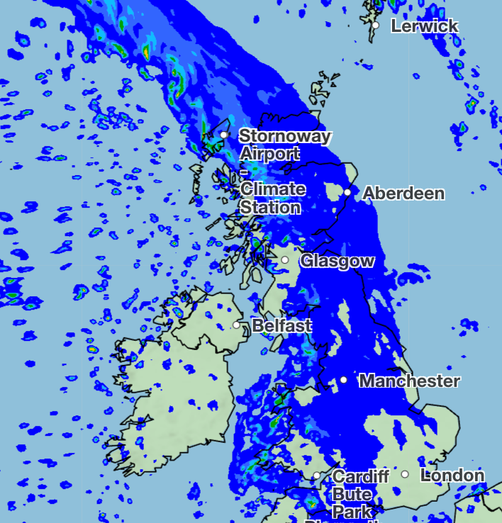
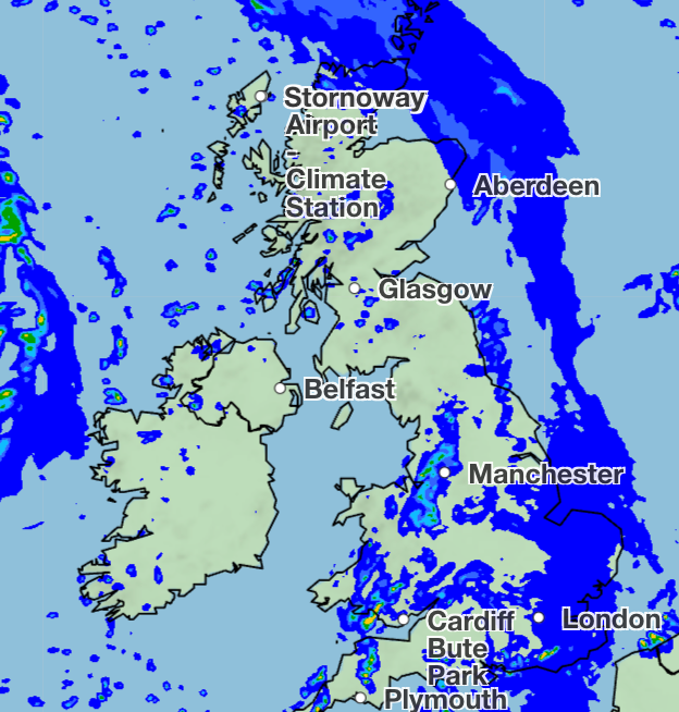
Cold northerly winds and showers are in store for the UK this weekend, ahead of a temperature spike expected just in time for the bank holiday weekend.
While Saturday is set to be the drier day of the weekend, the morning will begin with a notable chill, particularly in northern areas and parts of Wales.
Some light showers are still likely during the day in western areas, but temperatures will be mild as they climb to a maximum of 15 to 16C, according to the Met Office.
Heavy downpours are expected on Sunday, with light winds, particularly across southern areas of England. But southwest England and western Wales have some hope for a slightly drier day, though temperatures will be below average at 11 to 12C.
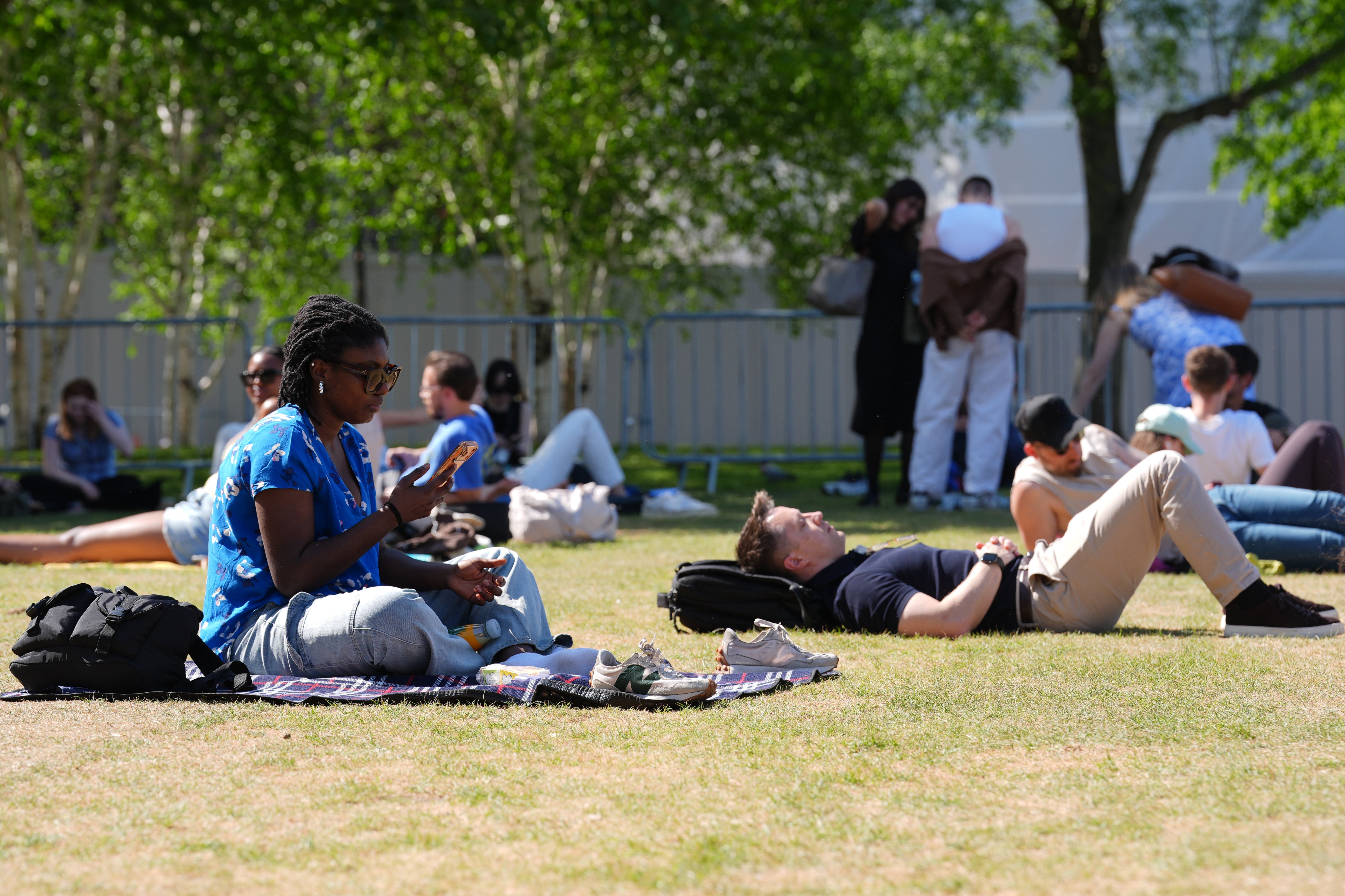
On the bright side, next week’s weather holds more optimism as temperatures move closer to average for May.
Met Office meteorologist Annie Shuttleworth said in an online forecast: “By the end of next week and the start of the bank holiday weekend, temperatures could be above average, possibly in the low 20s for some areas.”
The “warming trend” looks likely to progress as there is “going to be a move from low pressure to high pressure dominating” the weather.
“From Thursday onwards, temperatures could rise above average, approaching 20C for some across southern areas,” the forecaster added.
“We could be closer to the mid-20s, possibly, for some areas, in the South East, by the bank holiday weekend.”
But there is “a little bit of uncertainty” about where the higher temperatures will be.
In its long-range forecast covering 18 to 27 May, the Met Office suggests changeable conditions, including rain showers, look set to “dominate at first”.
It adds: “As this period progresses, high pressure is likely to begin to build from the South bringing more settled weather, although with occasional showers.
“Temperatures near-normal to begin, but tending to recover as the period progresses, perhaps becoming rather warm by the end of the period, especially in the South.
“Winds will be stronger during the first part of the period, generally from a south-westerly direction, before becoming lighter in line with the more settled conditions.”
London police prepare for a busy day with two big rallies planned and a soccer final
Some see 'King of the North' as UK government's savior. First he needs a seat in Parliament
New Wings exhibit traces Paul McCartney’s reinvention as husband, father and bandleader
UK sends rapid response team to remote island after hantavirus cruise ship outbreak
Who is part of the line-up for Tommy Robinson’s Unite the Kingdom march in London?