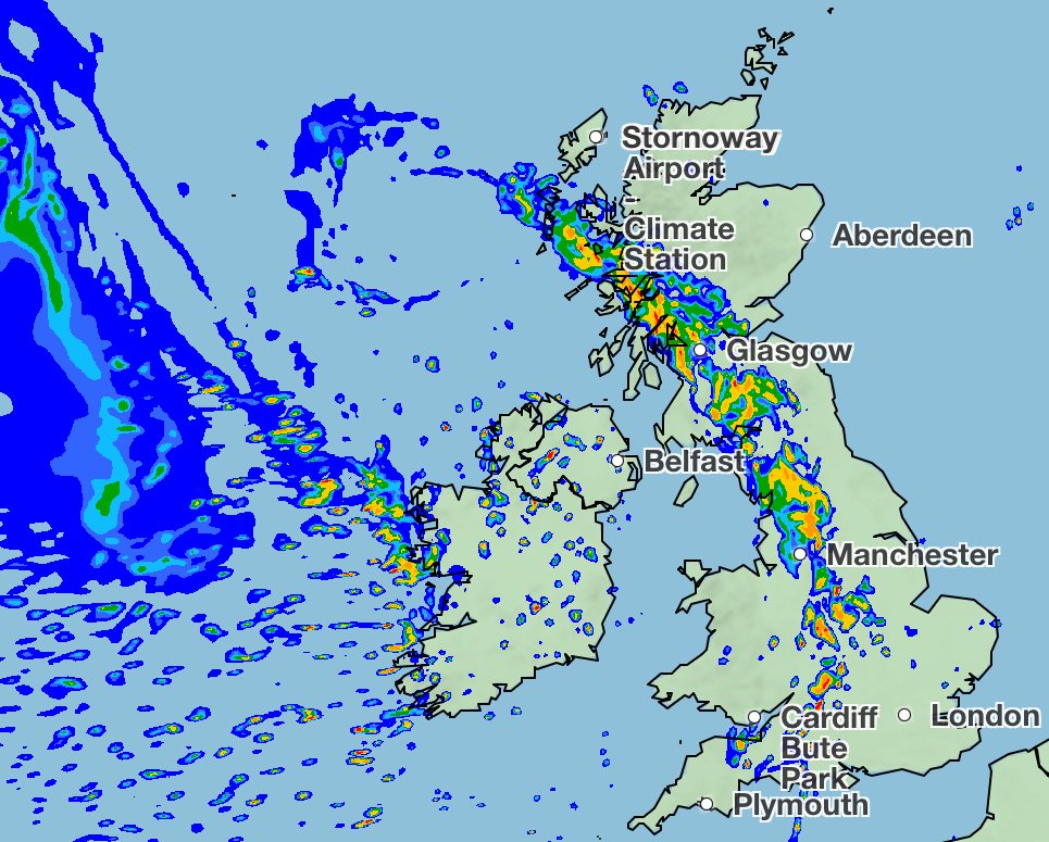
A deluge of showers is set to move over the UK in the coming days, potentially bringing the long-lasting summer heat to an end.
Met Office forecasts show a “band of rain” moving eastwards across most of the UK on Tuesday, which will bring scattered showers to more northern regions and Scotland.
This will subside only briefly overnight, before heavier showers hit on Wednesday. Again moving from east to west, the rainfall is set to leave few places untouched as it reaches up to 32mm an hour in places.
Scattered showers can then be expected throughout the rest of the week, especially in the West. This has a chance to bring thunder and gusty winds, the Met Office said.
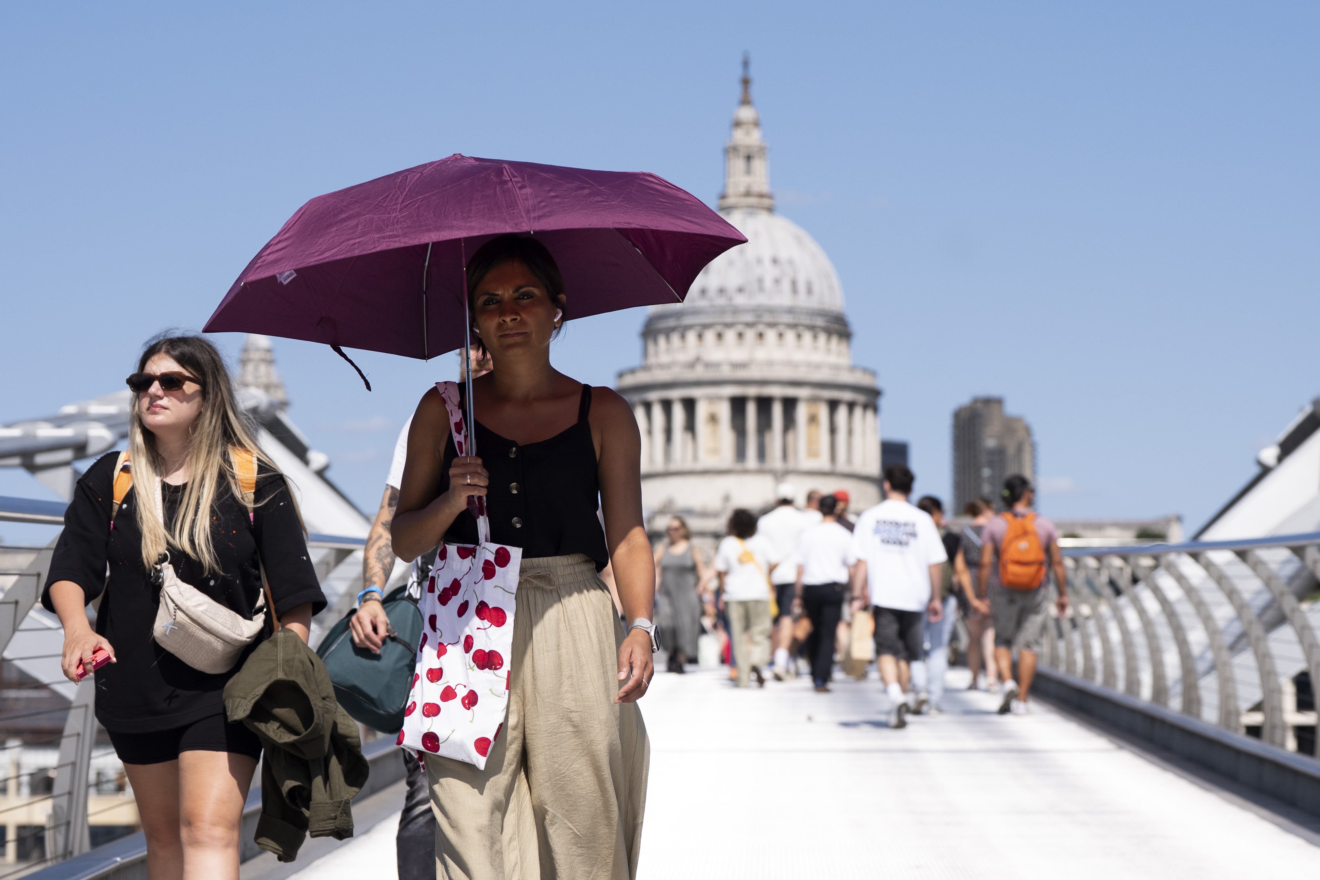
The coming rainy period will also see out the hot temperatures of the past few weeks, according to the meteorological body. After highs of 25C on Tuesday, temperatures are set to drop below the 20s as September begins.
The Met Office has indicated that the remnants of Hurricane Erin, which battered the US last week, may be a cause of the sudden end to the hot spell.
A low-pressure system arising from the hurricane is set to descend on the UK, meaning “showers or longer spells of rain will affect the majority of the UK at times” from Saturday.
The UK has experienced back-to-back heatwaves this summer, with more record-breaking temperatures felt over the bank holiday weekend.
Temperatures reached 29.1C in the village of Hawarden in Flintshire and 24.5C in Magilligan, Londonderry, the Met Office said. The previous record for Wales was 26.5C dating back to 1991, and 23.8C for Northern Ireland.
Here is the Met Office’s forecast for the coming week:
Today
A band of rain over the central swathe of the UK will move eastwards and turn increasingly showery. Sunshine and showers following, with the showers mainly towards the North and West. Very warm in the east, but feeling fresher elsewhere.
Tonight
Showers persisting in the North and West, with a band of heavy rain and stronger winds reaching the West later in the night. Largely dry with clear spells elsewhere.
Wednesday
The rain band, perhaps thundery in places, will continue to spread eastwards throughout Wednesday, with sunshine and showers following. Warm in the East, but near average temperatures elsewhere.
Thursday to Saturday
Remaining changeable with temperatures for most around average for late August. Rain most frequent and heaviest across the West, with a risk of thunder and gusty winds at times.
Will the UK experience a fifth heatwave in 2025?
Heatwaves are making people age faster, study warns
Record bank holiday temperatures for parts of UK ahead of rain from Hurricane Erin
Warmest August bank holiday Monday ever for Wales and Northern Ireland
Ukrainian pair charged with smuggling migrants into Britain on yacht
Meghan: Three weeks apart from Archie and Lili left duchess ‘not well’