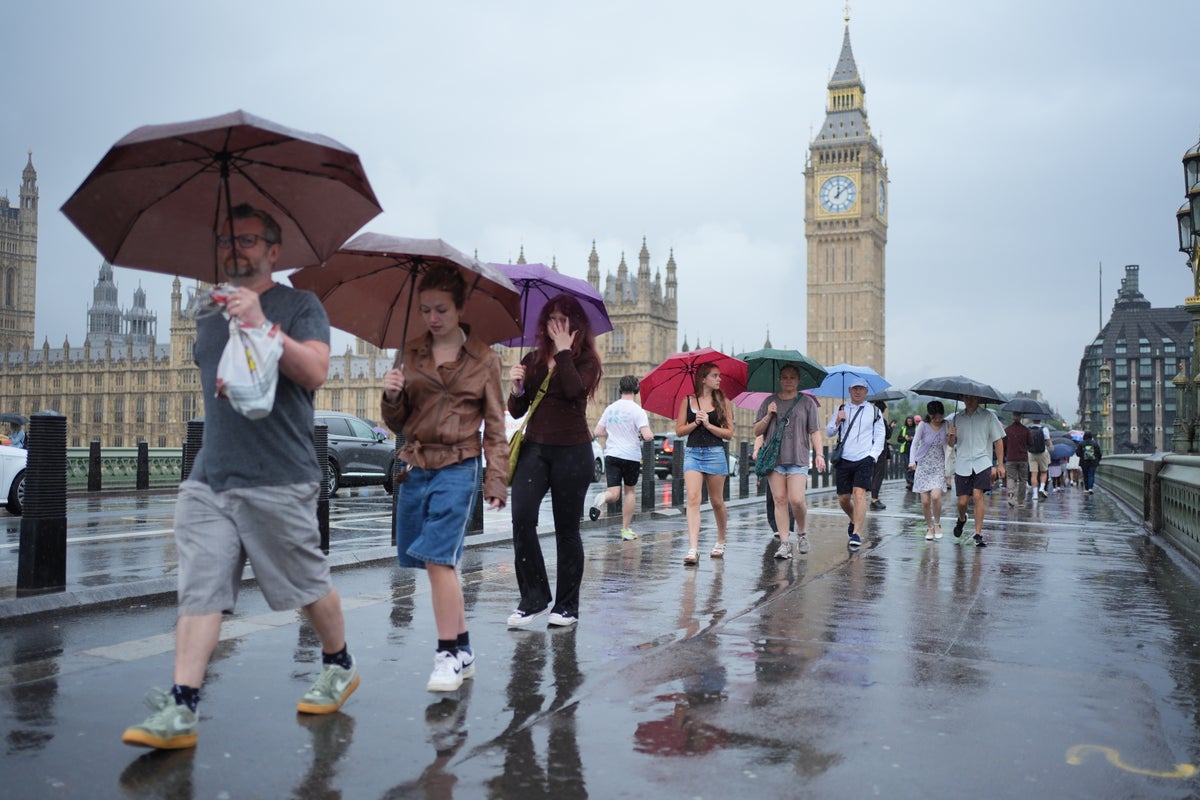
Sunnier spells and warmer temperatures are expected to return to the UK this week, after Monday’s bout of heavy rain and thunderstorms.
While scattered showers can be expected in the days to come, the Met Office predicts the weather will become more settled with sunnier spells and highs in the mid-twenties.
Paul Gundersen, chief meteorologist at the Met Office said: “This week’s weather will be changeable, starting off with a yellow warning for thunderstorms covering much of the UK today and into this evening, whilst another yellow warning is in place for heavy rain across western Scotland.
“Further showers may cause localised disruption on Tuesday and Wednesday, but many places will miss these and see sunny spells.
“Temperatures for the week ahead will generally be near average, though it will feel warm in sunnier spots and cooler under persistent cloud and rain.
“Winds will be moderate for most, occasionally fresh around coasts. By the weekend, conditions are expected to settle down slightly, with drier and brighter spells developing more widely. The picture will become clearer closer to the time, so do keep an eye on the Met Office forecast”
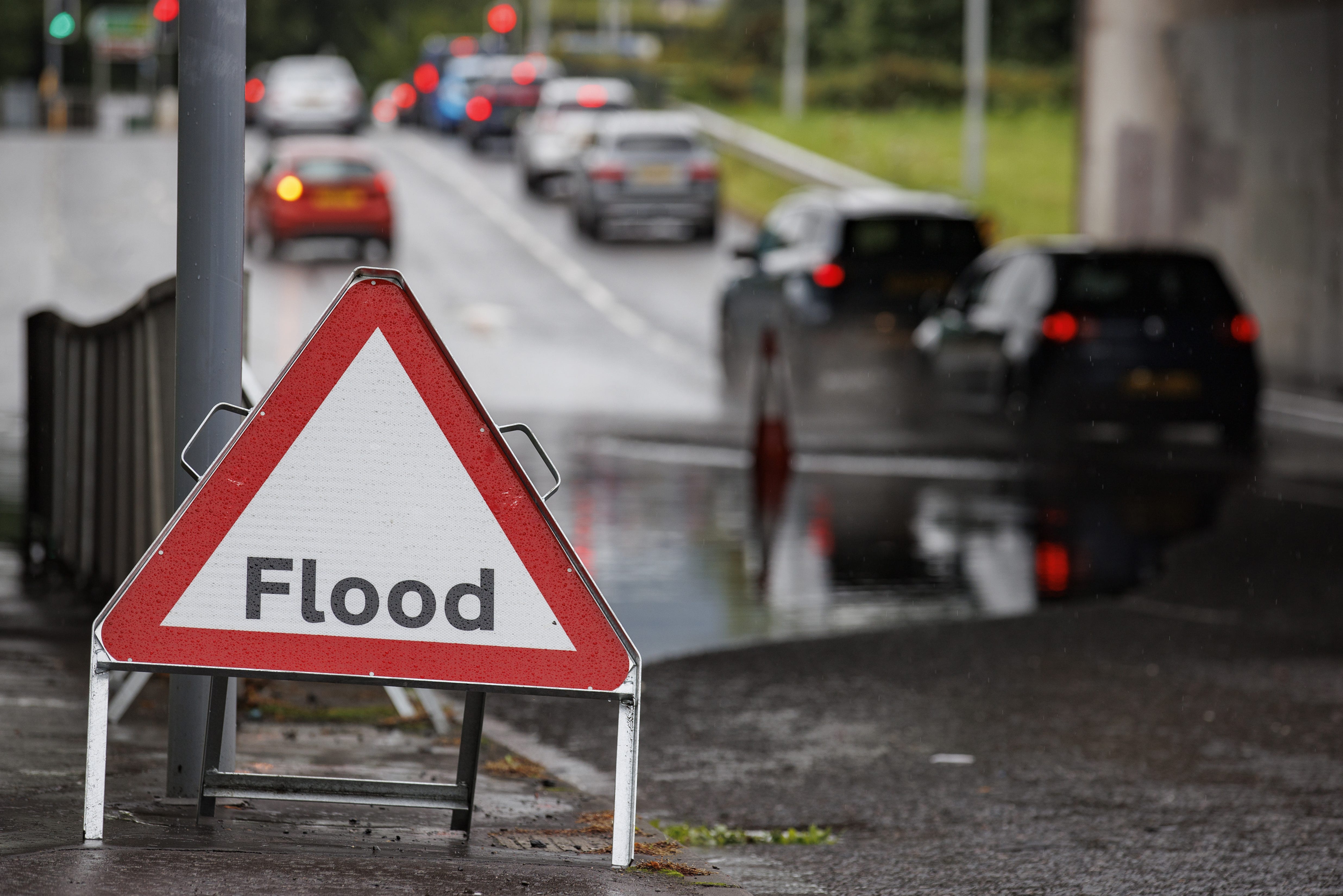
It comes after the Environment Agency issued a warning to motorists that thunderstorms could lead them to become stranded in floodwater, and urged them not to drive through deep or fast-flowing water.
Does the week ahead promise something more settled, or will you need to keep dodging the downpours?
— Met Office (@metoffice) July 20, 2025
Find out by taking a look at what the weather holds over the next 5 days 👇 pic.twitter.com/YzX2hYil3v
The Met Office also warned storms could pose a danger to life as well as damage to homes and businesses from flood water and lightning strikes, and transport delays and road closures.
Tom Morgan, Met Office presenter and meteorologist, said: “By Monday evening, that rain will be starting to ease very slowly, but there’ll still be showery outbreaks of rain through this evening and overnight for many northern and western parts of the UK.”
In parts of Scotland, yellow warnings for thunderstorms remain in place on Tuesday, while the rest of the country is expected to see a more mixed picture of sunny spells and scattered showers.
The wet weather comes after a dry and hot spring and three heatwaves so far this summer which left four regions of England in drought.
England recorded its driest March to June period since 1893, according to the Environment Agency, and dry ground can make flooding more likely as it is unable absorb as much water.