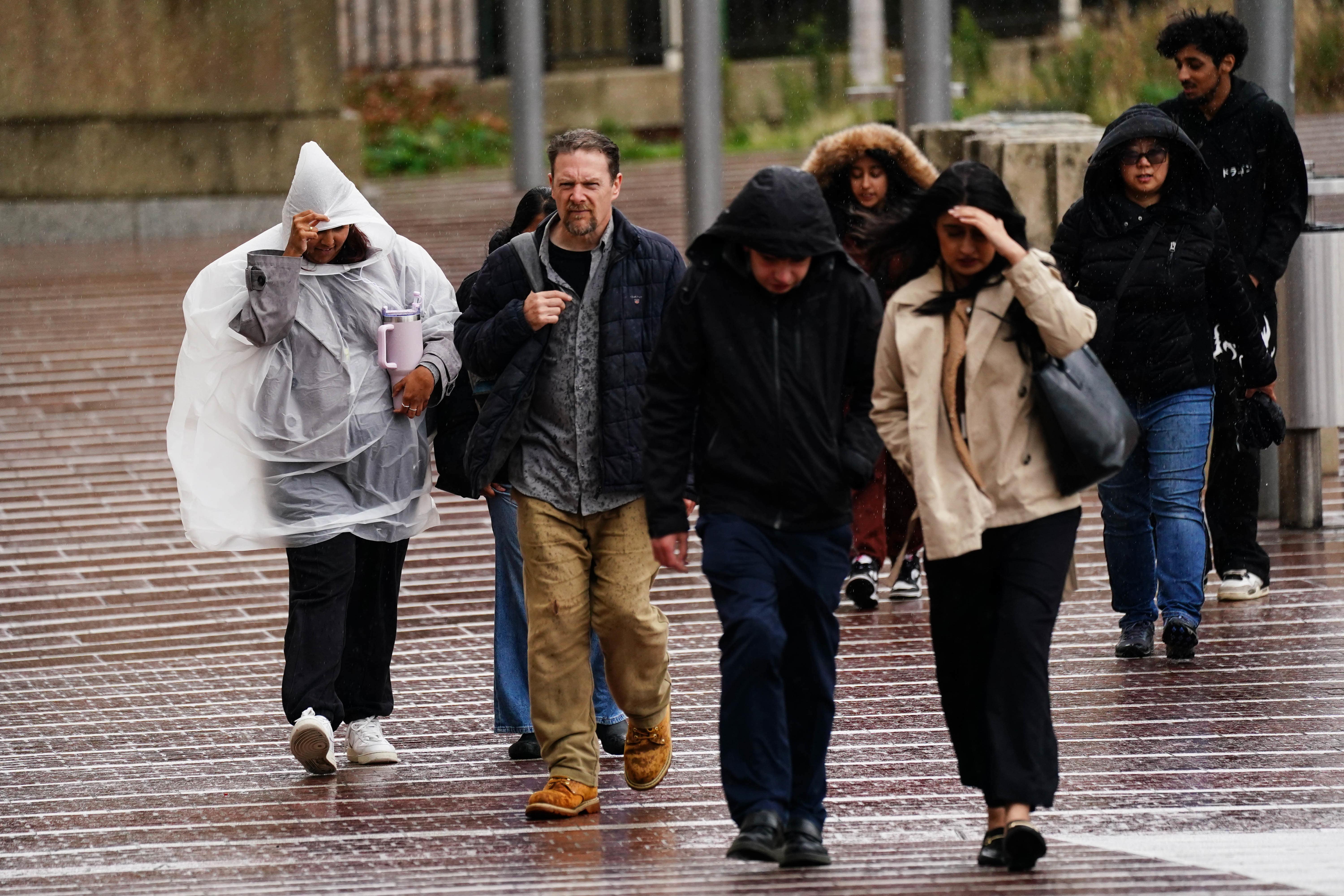
The UK is set for a wet weekend, though the Met Office has confirmed that the anticipated rainfall will not have been caused by Hurricane Gabrielle.
While Wednesday and Thursday are expected to be fine and sunny, rain is forecast to move in from the west on Friday night.
Met Office operational meteorologist Kathryn Chalk said clouds and outbreaks of rain will affect most of the country on Saturday and continue on Sunday, marking “a change of tide” from some of the past week’s “lovely, fine and dry” weather.
However, the rain and wind will not be caused by Hurricane Gabrielle, which is currently crossing the Atlantic and will miss the south of the country, according to forecasters.

The Met Office said the hurricane will likely travel close to the Azores on Friday and then eastwards to the Bay of Biscay on the west of France and north Spain coast.
Tom Crabtree, deputy chief meteorologist at the Met Office, said: “Wet, and at times, windy weather can be expected for many over the weekend, but this will not be a direct influence of what will be by then, ex-Hurricane Gabrielle.
“While some uncertainty remains over its exact track, we are confident that the remnants of Gabrielle will stay well to the south of the UK.
“Gabrielle’s track and timing will still have a remote influence on UK weather, however, as its evolution will influence how quickly a band of rain moves into the west this weekend and how long it lingers on Sunday. We’ll provide more detail on this in the days ahead.”
Here's the latest track of Hurricane Gabrielle ⤵️ pic.twitter.com/cAfdNcUwLx
— Met Office (@metoffice) September 24, 2025
Wednesday will be largely fine with sunny spells leading into a chilly night that could mean some northern locations wake up to frost, following on from Tuesday night’s low of minus 2.7C in Braemar, Scotland, Ms Chalk said.
Thursday will have a cool start but is expected to be a fine day with sunny spells.
Clouds move in for much of the UK on Friday with the sunniest weather seen in the west, before a band of rain arrives that night and spreads eastward, forecasters said.
A largely fine and dry afternoon with sunny spells 🌤️
— Met Office (@metoffice) September 24, 2025
The odd shower possible in the south and east 🌦️
Breezy in the far northwest and southeast 🍃 pic.twitter.com/Ym9ZonzY2e
Most of the UK will be cloudy on Saturday with some outbreaks of rain and the strongest winds will affect northern Scotland, they added.
Temperatures will remain around the seasonal average of 17C to 18C in the coming days, Ms Chalk said, adding: “Where we got into the high-20Cs in London (last week), that was well above average, then we’ve had a contrast to colder air and hence the chillier starts.
“In terms of the rainfall, it’s nothing that’s going to be particularly heavy or anything like that, but a lot of places have already seen pretty much their average rainfall in September, so it’s just going to add on to that.”
High pressure is expected to build back up next week to produce finer weather.
Lincoln Center Theater charts path forward with new artistic director and a nod to the past
Lloyds bank closures: All the branches that are shutting and when
A centuries-old map is returned to Mexico after it was recovered in Santa Fe
Medieval church in London balanced on 45ft high platform for skyscraper work
Andy Burnham urges ‘wholesale change’ to see off ‘existential’ threat to Labour
The 11 towns where banking hubs may open after Lloyds shuts 49 branches


