The Japan Institute of International Affairs, which conducts research on territorial and other foreign affairs, has announced that it discovered two navigation charts created by the U.S. government in 1953 and 1954 that show the Takeshima islands are part of Japanese territory.
The charts were produced shortly after the San Francisco Peace Treaty came into force in 1952.
"These are important materials that indicate the view of the United States, which drafted the treaty," said Rikinobu Funasugi, an associate professor at Shimane University's Faculty of Law and Literature who specializes in historical geography.
A company commissioned by the institute conducted research at the U.S. National Archives and Records Administration in fiscal 2019. Funasugi analyzed about 100 items from the archives.
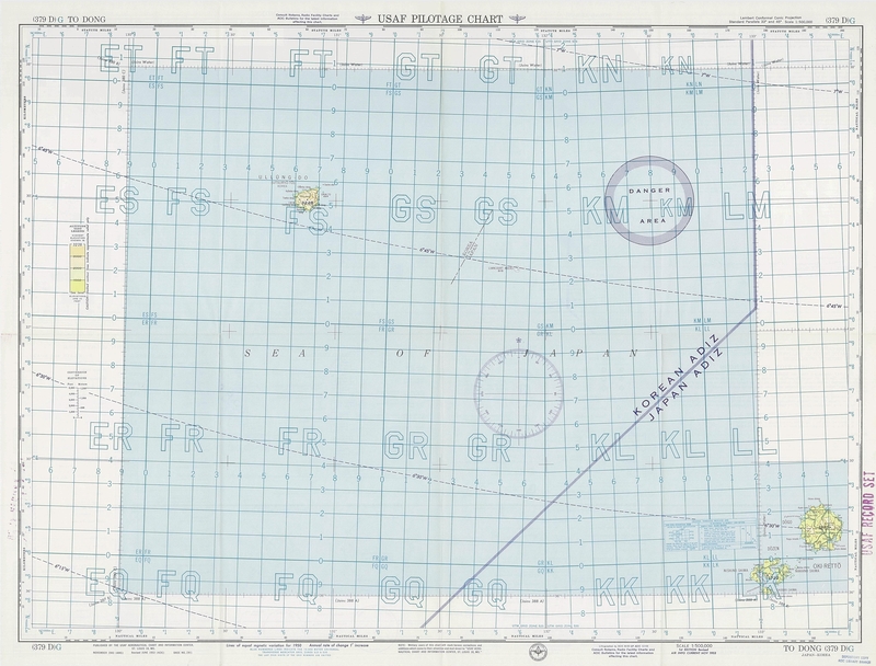
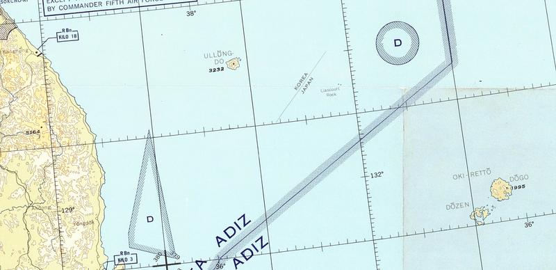
The items found were a 1:500,000 scale aerial chart issued in 1953 and a 1:2 million scale chart issued in 1954. Apart from the lines indicating the Air Defense Identification Zone (ADIZ), dotted lines are drawn between the Liancourt Rocks, the name for Takeshima in Western countries and elsewhere, and Ullung-do island in South Korea.
In explanatory notes and writings, the dotted line is described as an international border on the 1953 chart and as a border to show the sovereignty of the islands on the 1954 chart. Navigation charts created in 1950 and 1951 before the peace treaty took effect do not contain such lines. This is presumably because Japan's territory had not been determined legally at that time.
The territory to be relinquished by Japan was determined by the peace treaty. During negotiations, South Korea asked the United States, which drafted the treaty, to stipulate the sovereignty of Takeshima, but the request was not granted. Takeshima thus was not included in the territory to be renounced by Japan.
South Korea, however, maintains that there is no territorial dispute over Takeshima. It insists that it is part of Ullung-do and therefore its territory.
According to Funasugi, this is the first discovery of a chart made shortly after the treaty was signed and that shows Takeshima as Japanese territory.
"The newly discovered flight charts are believed to reflect the content of the treaty," Funasugi said. "They also indicate the geographical view of the United States, which drafted the treaty. They can serve as an important basis to deny South Korea's claims."
Read more from The Japan News at https://japannews.yomiuri.co.jp/