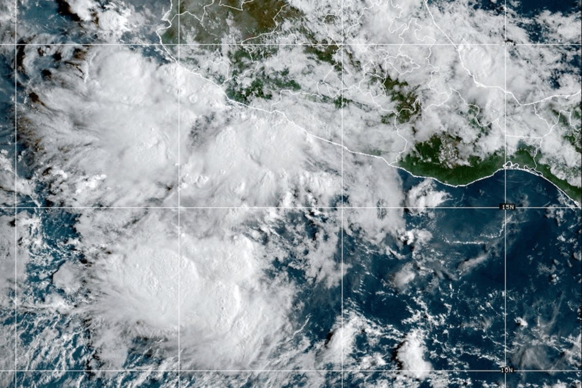
A new tropical storm, Mario, has developed off Mexico's Pacific coast, prompting warnings of wind, rain, and potential flash flooding, forecasters have confirmed. Despite being labelled "mini" by the National Hurricane Center, the storm is currently generating maximum sustained winds of 40 mph (64 kph).
A tropical storm watch has been issued for sections of Michoacan state, specifically from Lazaro Cardenas to Punta San Telmo. The Miami-based weather service located Mario approximately 40 miles (64 kilometres) south-southwest of Zihuatanejo, Mexico, and around 60 miles (97 kilometres) south-southeast of Lazaro Cardenas.
A tropical storm watch was in effect for parts of the Michoacan state. It spanned from Lázaro Cárdenas to Punta San Telmo.
The Miami-based weather service said Mario was centered about 40 miles (64 kilometers) south-southwest of Zihuatanejo, Mexico, and about 60 miles (97 kilometers) south-southeast of Lázaro Cárdenas.
Forecasters said the tropical storm was expected to strengthen in the coming days.
Rainfall estimates were around 2 to 4 inches (5 to 10 centimeters), with isolated locations seeing 6 inches (15 centimeters). Higher terrain could experience flash flooding. Windy conditions were possible Friday for coastal areas in Guerrero, Michoacan and Colima states.