Residents in remote Northern Territory communities are bracing for Tropical Cyclone Megan after evacuation plans were called off because of dangerous weather.
Some 700 residents in the community of Borroloola, inland from the Gulf of Carpentaria in the NT, were meant to leave the area on Monday afternoon but RAAF aircraft have been unable to land.
The category three cyclone has moved faster than anticipated, Police Minister Brent Potter told reporters on Monday.
"The weather conditions don't permit the aircraft to safely land and take people out of that location," Mr Potter said.
"That's the determination of the RAAF pilots and we have to take their advice, they've been trying to leave and they can't do it."
The Bureau of Meteroology said the cyclone made landfall southeast of Porth McArthur on Monday afternoon.
Mr Potter said residents could shelter at the police station, health facility or 40 dwellings capable of withstanding a category three system.
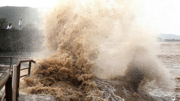
The cyclone is expected to bring gusts of more than 200km/h and heavy rainfall.
NT Police Commissioner Michael Murphy urged residents in Borroloola to listen to authorities on the ground.
"We're confident that the infrastructure there will be sustained throughout the night but we've got to take this really seriously," he said.
Power supply in Borroloola was cut off on Monday afternoon and residents were warned to conserve batteries to weather the storm.
Shena Gamble from the bureau said large-scale destruction wouldn't be likely in Borroloola.
"It's certainly not the kind of winds that we would expect to see destruction, particularly in a community where there are houses that are cyclone-rated," she said on Monday.
"There is a severe weather event occurring and tonight will be very windy and very rainy."
Groote Eylandt residents were hit with almost 600mm of rain over the weekend as Megan made its way over the remote island communities.
The wharf on the GEMCO manganese mine was damaged by one of its ships carrying manganese and fuel.
NT police said there was no leakage and authorities were working to remove the ship from the wharf.
Water and power outages have also been intermittent on the island.
The cyclone warning area spanned hundreds of kilometres - from Alyangula on Groote Eylandt in the NT to the Queensland border and inland to Borroloola, the McArthur River Mine and Robinson River.
The core of the cyclone has been called destructive, bringing wind gusts of up to 220km/h and rainfall totals of between 300 and 400mm.
Possible rainfall totals of between 150 and 200mm and wind gusts of up to 110km/h were forecast in the other hundreds of kilometres of warning zone and dozens of towns.
Flood watches are in place for the Carpentaria to Arnhem and Barkly.
The bureau said the flood warnings could expand as the cyclone hits the coast.
The weather system is expected to return to a tropical low as it heads further inland on Tuesday and Wednesday.