The Top End is bracing for a wet and windy Christmas with residents warned a tropical cyclone could form near Darwin on Boxing Day.
A monsoon trough and a tropical low are brewing north of the Tiwi Islands in the Arafura Sea, the Bureau of Meteorology says
It is expected to head south towards the Northern Territory by Saturday and extend across the Top End during Sunday as the monsoon sets in.
"The best guidance is that the system will cross the coast south west of Darwin as a category one system on Monday," senior meteorologist Shaenagh Gamble said on Friday.
"We're fairly certain of where it's going."
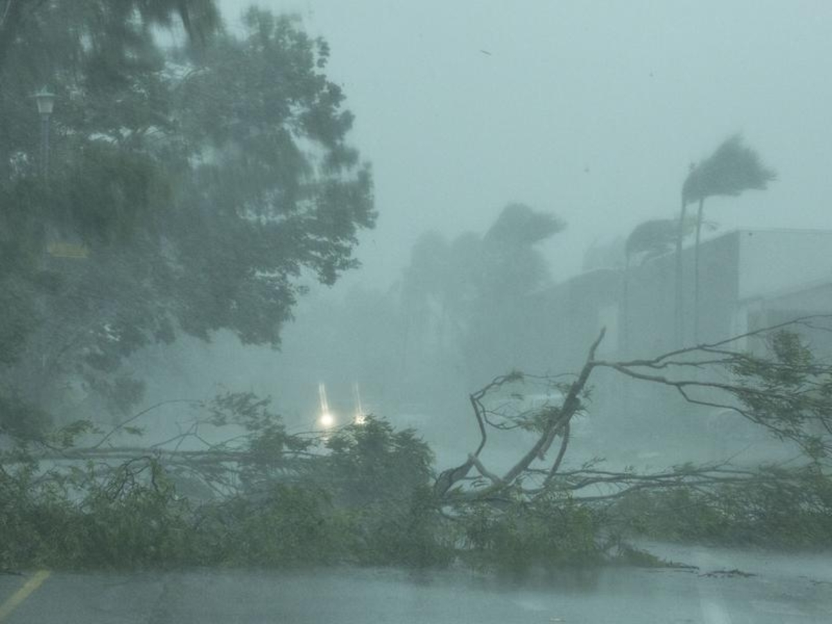
Darwin could be lashed by up to 100mm of rain per day with flash flooding and wind gusts of 150 km/h possible.
The heavy rain is expected to bring cooler temperatures, with Darwin tipped for a maximum of 31C on Christmas Day.
The bureau says there is a 20 to 50 per cent chance the tropical low will strengthen into a cyclone on Sunday as it heads south.
Communities from Point Stuart east of Darwin to Kalumburu in Western Australia have been told to remain alert and make preparations.
A strong wind warning has been issued for communities on the Tiwi Islands, about 100km north of Darwin.
Darwin was mostly destroyed on Christmas Day in 1974 when Cyclone Tracey smashed the city, killing 71 people.