A yellow thunderstorm warning has been extended for a further 24-hours as the August heatwave comes to an end.
Liverpool has been basking in another heatwave this week as temperatures rose to as high as 33C. Some areas even had an amber alert issued for the extreme heat and several warnings were made regarding wildfire risks and health risks.
But the Met Office issued a new warning for Monday, August 15, as the heatwave is due to come to an end and thunderstorms take its place. The warning was in place for most of the country and starts at 6am until 11:59pm on Monday.
READ MORE: Huge queues at Merseyside beach as thousands flock to the seaside
The forecaster has since extended the yellow weather warning a further 24-hours, now due to end at 11.59pm on Tuesday. The Met Office warns that the thunderstorms may bring heavy rain and possible disruption and a chance of storms and power cuts.
Despite the rain and storms, the weather will still be quite humid with Liverpool temperatures expected to be around 23 degrees C. However this will be much cooler than this week's temperatures, which are in the 30s.
What to expect:
- Spray and sudden flooding could lead to difficult driving conditions and some road closures
- There is a chance that homes and businesses could be flooded quickly, with damage to some buildings from floodwater, lightning strikes, hail or strong winds
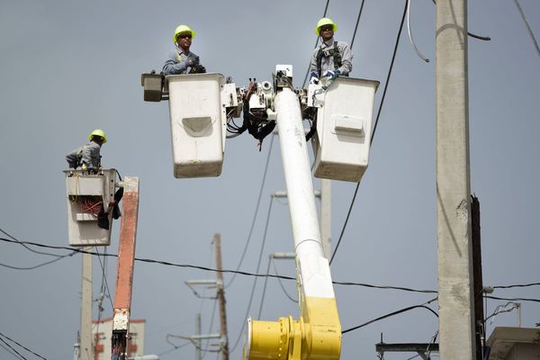
- There is a slight chance that power cuts could occur and other services to some homes and businesses could be lost
- There is a small chance of fast flowing or deep floodwater
- Where flooding or lightning strikes occur, there is a chance of delays and some cancellations to train and bus services
Met Office Deputy Chief Meteorologist Jason Kelly said: "The current hot weather will make way for a thundery breakdown from the west, which will spread south and east in the early part of next week. Ahead of this, isolated but intense thunderstorms are possible Sunday and Monday.
"The warnings highlight the chance of some places seeing around 50mm of rain falling in a three-hour period in the north, with some areas further south possibly seeing around 30mm of rain in a three-hour period. Hail and frequent lightning are also possible as part of these downpours and represents an additional hazard.
"We’re continuing to monitor how these thundery showers develop on Tuesday and Wednesday next week. There’s a chance of some quite intense downpours at times for some areas and we’re refining the likely location of these in the coming days."
More information on how to stay safe during a thunderstorm, including driving during a storm, can be found by clicking here.
READ NEXT:
Merseyside’s ‘Windsor’ where people watch TV in the dark and struggle to feed their children
Blaze breaks out at Sefton Park as warning issued
Grandad's huge bill as Ring doorbell catches influencers taking selfies outside home