Environmental champion and Australian of the year Tim Flannery once called the Mary River not the biggest or longest but one of the nation's most important waterways.
Now science is set to determine just how so.
A collective of ecological and cultural experts has returned from a 10-day "stocktake" of Queensland's only north-flowing river, having navigated a 150km stretch by canoe to document flood impacts, endangered flora and fauna and hidden Aboriginal artefacts.
The group used modern technology and Indigenous knowledge to map threatened species, heritage markers and streambank damage and sediment build-up caused by inundation between the Sunshine Coast town of Kenilworth and Tiaro on the Fraser Coast.
The expedition discovered evidence of occupation along the entire river, including scar trees whose bark and wood was often used by Indigenous inhabitants for shelter or toolmaking with the leftover markings serving as territorial boundaries.
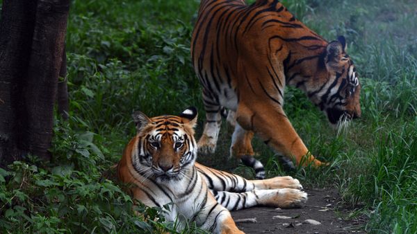
Baseline habitat records were created for the unique and threatened "bum breathing" Mary River turtle and the Queensland Lungfish, whose lineage dates back 350 million years.
Both are endemic to Moocooboola, as the river is known to the Kabi Kabi people, and its tributaries.
Data was also collected for the critically-endangered white-throated snapping turtle along with key cultural species including platypus, freshwater mussels, rakali, large birds of prey and elder trees.
"This expedition immersed itself to map the landscape, not only scientifically but culturally, providing valuable data to manage this precious region into the future," according to Burnett Mary Regional Group director of research Tom Espinoza.
"If there's a project to restore habitat in the river, managers will know where the good habitat is and where more work needs to be done.
"The same goes for targeting flood mitigation, conserving threatened species and cultural heritage."
The collected data will be fed into the Mary River Regional Environmental Account, the first step towards unlocking conservation investment, according to Burnett Mary chief executive Sheila Charlesworth.
"As climate change forces the world economy to decarbonise, investors are looking to direct billions into protecting the ecosystems that sustain us," she said.
"To facilitate investment in natural assets, we must first value them but we can't value assets until we know what they are, where they are and how much there is."
Butchulla traditional owner Conway Burns believes the trip has also fostered the reconnection of local tribes to what is their ancestral river and allowed for sharing of knowledge with the scientific community.
"Our people have lived alongside the Mary River for thousands of years," he said.
"The information gathered ... will help ensure the river and its cultural heritage are protected for generations to come and also help our mobs strengthen connections."
As intellectual property, it will undergo approval to determine dissemination of results before release.
"We now have a stocktake of the Mary River's natural and cultural assets," Ms Charlesworth said.
"This information will become priceless."
Others to participate in the federally-funded research included the Kabi Kabi, Jinibara, and Butchulla First Nations corporations, Butchulla Native Title Aboriginal Corporation, Griffith University and Mary River Catchment Coordinating Committee.