Heading outdoors with a map doesn’t just help to keep you safe – it can help you discover natural features you might otherwise have overlooked or choose the best route to a summit according to your ability level. These days, we’re spoilt for choice when it comes to online maps, with navigation apps like AllTrails, OS Maps and Komoot leading the way, and now the US Geological Survey has got in on the action.
The USGS is a scientific agency that studies the landscape of the US, so they’ve been amassing data useful to hikers and backcountry explorers for nearly 150 years. With the launch of its new digital 25K Recreational Topos – so-called because they have a 1:25,000 scale – you can access highly detailed maps of any area in the US you want to explore with a user-friendly design that the agency says is built for recreational users.
“Whether you are a seasoned explorer or a casual hiker, the new USGS maps are a game-changer for recreational activities,” says Ariel Doumbouya, a USGS geographer and product lead.

The maps show subtle changes in terrain so you can plan routes that match your skill level, time constraints, and interests. Specialized symbols denote important recreational features you might be interested in, such as trailheads, campsites, and other amenities. Rivers, trails and forests are emphasized to help you focus on recreational opportunities, as are protected areas, such as National Parks, to encourage responsible exploration.
“They empower adventurers to explore the outdoors with greater confidence, insights, and awareness of their surroundings,” says Doumbouya.
A 1:25,000 scale means one inch on the map represents 25,000 inches on the ground, or roughly 1.4 miles, which is the common scale used in Alaska, Canada, and by the U.S. Military.
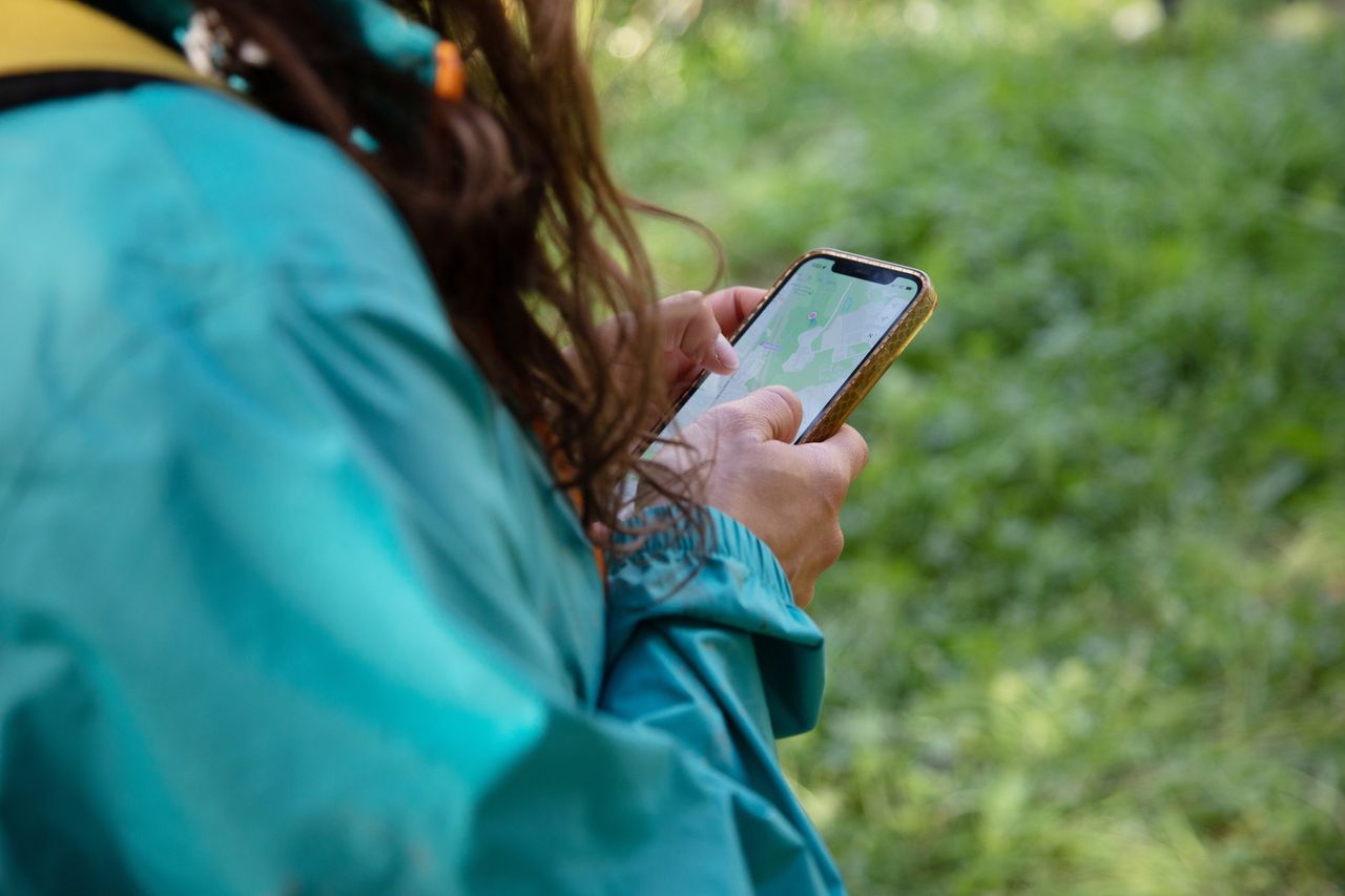
The new 25K Recreational Topo is available through the USGS topoBuilder app, where you can customize and download digital OnDemand Topo maps featuring the most up-to-date data from The National Map. The maps can be integrated with GPS devices such as your phone, GPS watch or other apps, so you can use them for navigation in the field, and perhaps most exciting of all, they’re all free for digital use.
Check out our article on how to read a map to get the most out of your experience, and if you’re relying on a digital device for navigation, always carry a portable charger and consider bringing a paper map and compass for backup.