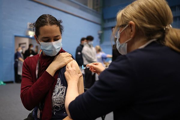
Coronavirus case rates have continued to drop in the majority of neighbourhoods in and around Bristol.
There are now 31 areas 'in the green' on the government's heat map, although this only accounts for cases up to November 28, before the national lockdown was lifted.
These areas all have rolling seven-day case rates of less than 100 per 100,000 of the population, which is lower than the current national average of about 150.
It is promising news for those hoping Bristol, North Somerset and South Gloucestershire - which are currently subject to the strictest Tier 3 restrictions - will be downgraded to a lower tier come the review on December 16.
Every other day, Bristol Live reports the areas with the lowest levels of coronavirus in the city and the surrounding area, as well as the areas with the highest levels.
This information is from the government's interactive heat map, which splits local authority boundaries into much smaller neighbourhoods, with about 7,000 residents in each.
Three areas have recorded fewer than three new COVID-19 cases in the past seven days.
In Bristol city, Hotwells was shown to have the lowest coronavirus rate currently.
These are all the areas with case rates below 100, listed with the number of positive cases in the seven days to November 28, followed by the rolling case rate in brackets:
Bristol
- Hotwells: 3 (40.4)
- Cotham: 4 (44.6)
- Westbury-on-Trym: 3 (46.1)
- Henleaze: 3 (50.8)
- Stoke Bishop: 6 (64.3)
- Clifton village: 4 (65)
- Hanham: 6 (65.1)
- Westbury village: 4 (65.8)
- Kingsdown and Stokes Croft: 7 (67.9)
- Bristol City Centre: 15 (79.2)
- Knowle: 7 (83.2)
- Broomhill: 7 (91.9)
- Lockleaze: 7 (92.1)
- Upper Horfield: 8 (97.4)
What is happening with coronavirus where you live? Find out by adding your postcode:
South Gloucestershire
- Alveston, Olveston & Oddbury: 3 (46.4)
- Charfield, Wickwar & Iron Acton: 4 (48.7)
- Thornbury North: 4 (49)
- Marshfield, Wick & Hawkesbury: 8 (74.8)
- Yate Kingsgate: 7 (93.8)
- Yate South: 7 (96.3)

North Somerset
- Backwell and Flax Bourton: Fewer than three cases (rate not shown)
- Wrington, Felton and Dundry: Fewer than three cases (rate not shown)
- Portishead Redcliffe: 3 (48.6)
- Clevedon South and Yeo: 4 (51.8)
- Nailsea West: 7 (76.7)
- Portishead South: 7 (88.2)
- Nailsea East: 6 (93.4)
- Clevedon Central: 8 (98.7)
To get breaking Bristol news straight to your inbox, click here
North East Somerset
- Chew, Bishop Sutton and East Harptree: Fewer than three cases (rate not shown)
- Keynsham East: 3 (53.1)
- Pensford, Clutton and Temple Cloud 4 (59)