Picture this: A bushfire starts in the heavily forested hills behind Hobart.
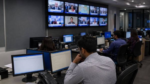
The local councils and emergency services turn to a virtual model of Tasmania and use it to predict what the fire will do.
It tells them the fire will head north-east, and in an hour it will destroy telecommunications equipment, cutting off phone and internet services.
In another hour, residents will lose power as the blaze burns through electricity transmission lines.
The people tasked with responding to the approaching disaster can start warning and evacuating residents before it is too late and send firefighters to the right places to protect homes and infrastructure.
That is the future Stuart Mitchell hopes he will be a part of creating.
"To be able to have a view of that sort of data, two, three, four hours before the event, is an absolute game-changer for the community," he said.
Tasmania to be virtually mapped in world-first
Mr Mitchell works for 42-24, a Tasmanian IT company and subsidiary of TasNetworks that has teamed up with Enzen Australia to create a virtual model, often called a digital twin of Tasmania.
The joint-venture will fly planes equipped with remote sensing technology that captures Lidar data, creating a high-resolution model of Tasmania's buildings, roads, natural features and infrastructures like phone towers and power lines.
Lidar is a type of remote sensing that uses lasers to measure the density and type of vegetation, contours of the land and water flows.
These flights will be repeated every year for a decade.
Mr Mitchell said every one of Tasmania's 2 billion trees will be identifiable in the model.
"This data model will attach an individual identification number to each of those 2 billion trees, and when we recapture the data, we will be able to monitor the growth and health of those trees.
"That is down to 5-centimetre blocks, so you could say that every leaf on every tree in this state is about to be measured."
The model will include real-time data from sensors around the state, and government agencies and businesses using the model will be able to plug in weather forecasts from the Bureau of Meteorology.
This will allow the virtual model to predict which areas will flood or face wind damage when extreme weather is forecast, and how bushfires will behave.
It will be the first time in the world that an entire land mass the size of Tasmania will be modelled in this way.
Virtual model should mean fewer blackouts
TasNetworks is the virtual Tasmanian model's first major customer.
The state government-owned company owns and maintains thousands of kilometres of power lines and thousands of transmission towers and power poles.
All of these will be precisely mapped in the virtual model.
Chief executive Sean McGoldrick said that would make it easier to know when and where those assets needed to be repaired.
"Hopefully the power will go off much less because we'll know the condition of our assets intimately," Mr Goldrick said.
He said the model would also allow TasNetworks crews to find faults faster when they happen, and restore power more quickly when natural disasters strike.
"For example, we can predict when there is a flood, [and] which of our assets are more vulnerable than others.
"So if we hear from a weather forecast that we're likely to have flooding, we know where to put our crews on standby so we can more quickly serve our customers and get the assets back and working."
Disaster recovery boss says technology will save Australia billions
The Virtual TAS project will provide data to other initiatives, including some funded by Australia's National Recovery and Resilience Agency.
The agency's coordinator general, former Northern Territory chief minister Shane Stone, said Australia had to focus more on preventing disasters.
"The reality is that we spend 96 per cent on cleaning up and 4 per cent on getting ready, and this project is about getting ready," he said.
"Because the estimates of how much we will spend on the clean up by the year 2050, I'm advised it's close to $90 billion."
One part of the project will be to develop the world's most detailed water flow model, which will help to predict flooding in future extreme rain events.
That information will be valuable for emergency services and planners considering where to allow homes and infrastructure to be built.
Mr Stone was criticised by some earlier this year when he said some homes that were flooded in New South Wales and Queensland should not be rebuilt.
He said he often found himself coordinating recovery in disaster areas he had been to only a few years before, and the digital twin could help stop people repeatedly suffering property damage and other harms.
"We need to move the dial," he said.
"If we don't do something about the challenges around the environment and infrastructure, it's going to happen again."