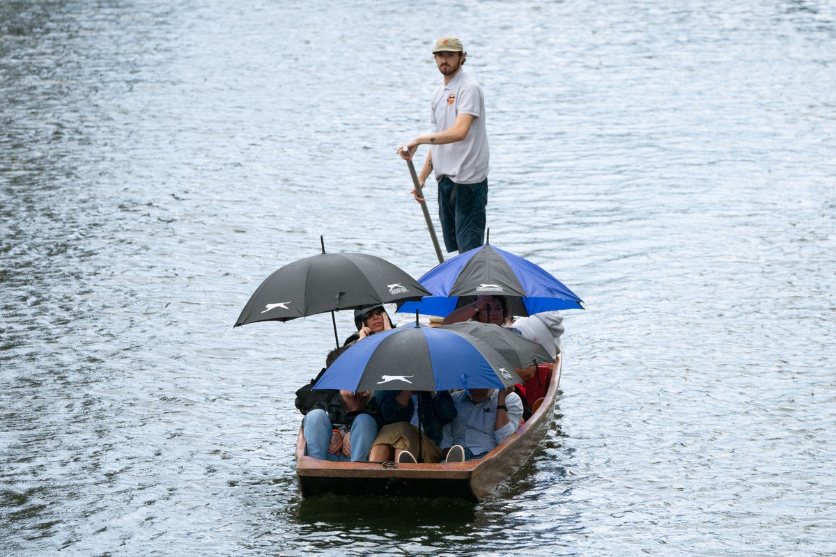
A week of sunshine and showers is being forecast for the coming week with hot summer weather not predicted until mid-August, according to the Met Office.
The heavy winds that have been seen across many parts during the weekend are expected to fade on Monday but “nuisance” outbreaks of rain are expected throughout the week, with temperatures not rising above the low 20Cs.
And Tuesday will see a heavy band of rain cross central and northern parts of England, Wales and Northern Ireland.
During the weekend, heavy winds hampered efforts by firefighters to put out a blaze at the Royal Albion Hotel in Brighton, East Sussex, with a number of events also being cancelled around the country, including the first day of the Goodwood Festival of Speed being pulled for the first time in its 30-year history.
Meteorologist Simon Partridge said: “The general gist is it will become a little more settled through the week but we are not going to see weather as wet and windy as over the weekend, but at the same time there will not be any particular dry or settled or warm weather either, so things are carrying on for July as they have for the past couple of weeks.
“As we go through Monday, it will be another day of sunshine and showers. The good news is that winds will be lighter than over the weekend as that low pressure moves a bit further away and also the showers will be fewer and farther between but still the risk of a thundery shower across eastern parts through the afternoon.
“In terms of temperatures through the week, they are bizarrely similar, they are around average for the time of year, many places in high teens and the further south and east you are, you are looking at low 20s with 22C or 23C.
“The day with the most significant weather is Tuesday, we have an area of low pressure that moves across the UK which will bring some quite heavy rain at times, particularly across central and northern parts of England, Wales and Northern Ireland, with north and south of that a reasonably dry day.”
Looking ahead, the Met Office forecaster said that the pattern of changeable weather was expected to continue, adding: “It’s fairly disappointing for the middle of July, nothing particularly warm or sunny.
“At the moment, the main signal on our long-range models is there is a signal for things turning drier and warmer but not until mid-August.
“The weather pattern is blocked and not changing which is part of the reason why things got so warm in southern Europe, because that high pressure is just sitting there, keeping that warmth growing, but unfortunately it is keeping us in this more changeable airstream, so nothing too wonderful for the next couple of weeks.”