
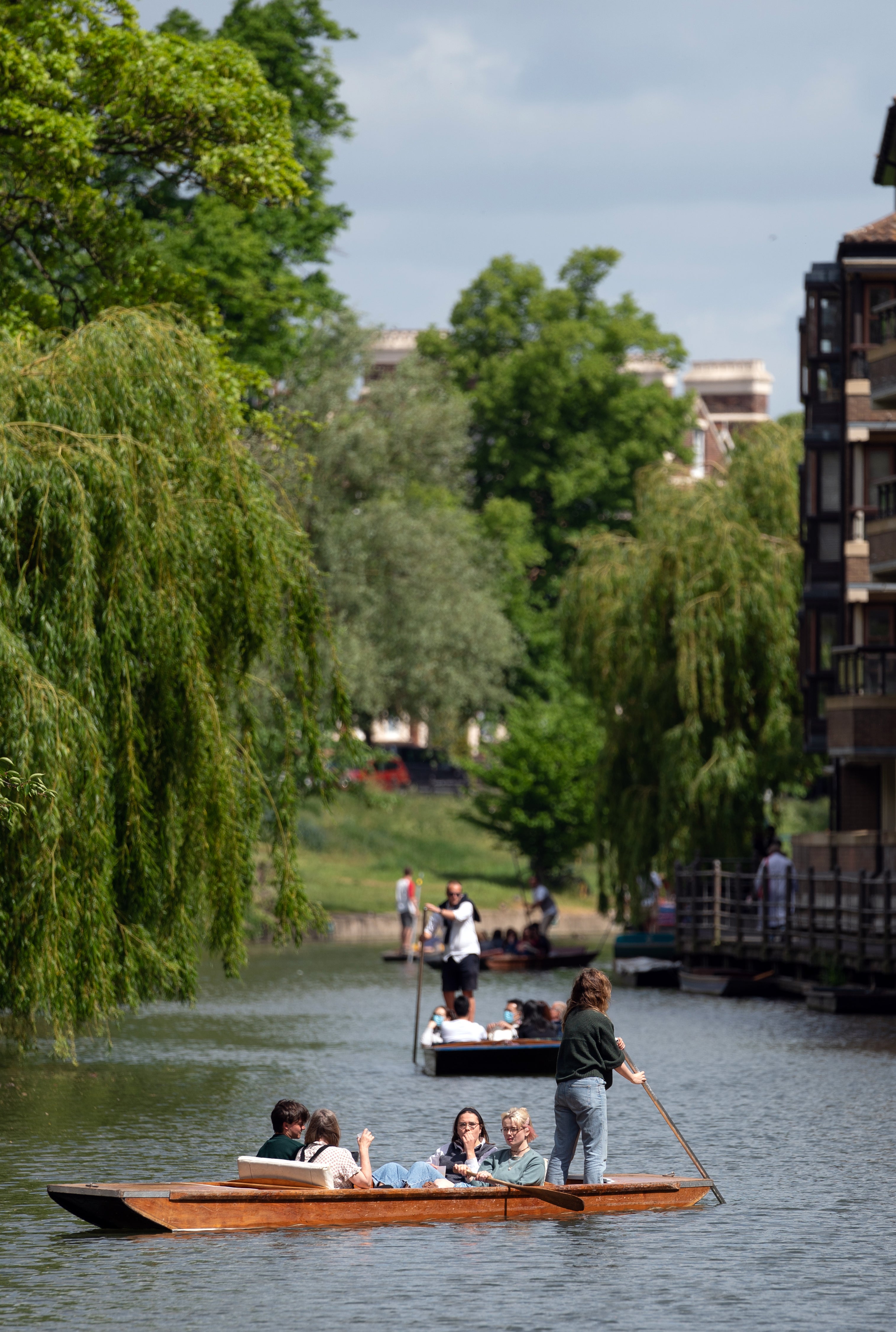
Temperatures are warming up for the weekend as most of Britain can expect to be bathed in sunshine.
However, the Met Office warned that a sun-kissed Saturday, which would be ideal for a barbecue, could be followed by heavy rain and thunderstorms.
Saturday could be “16-19C widely – with 24C the possible high in the South East and that would make it the warmest day of the year so far”, according to Met Office meteorologist Aidan McGivern.
Widespread sunshine is set to be present from the north of Scotland to the south of England, with just some patchy cloud in the North and West.
The warm air is also likely to spark a few heavy showers.
Mr McGivern said: “By Saturday evening, those showers would be making an appearance into the South West, spreading quite widely into southern parts of England and south Wales.
“In some places, it would just be a spell of rain but for central and southern England and the south coast there is the risk of some heavy downpours, thunderstorms and frequent lightning.”
Sunday is looking like another warm day.
Warm air from North Africa is set to bring above-average temperatures for May to most places in the UK over the next week, but it will be broken up with potentially heavy or thundery showers.
The Met Office said that parts of the South East could potentially reach top temperatures for the week of 25C-27C.
Met Office spokesman Richard Miles said “at the moment Tuesday looks like being the warmest day of the week”.
Throughout the week, some people will enjoy warm sunny spells but heavy showers are set to move across the whole of the country, particularly in the North and West.
These might be thundery at times in parts of the south, central England and south-west Scotland.
Met Office chief meteorologist Andy Page said: “The plume of warm air we have been expecting from the south will bring higher temperatures across the whole country over the next week.
“However, it looks like the effects from the Atlantic lows will prevent sustained high pressure building from the east.
“This means that while we might see some warm – and in places very warm – days, overall the next week will feel more like what we would expect of a warm spell in May, with some heavy showers around, rather than hot summery weather.”