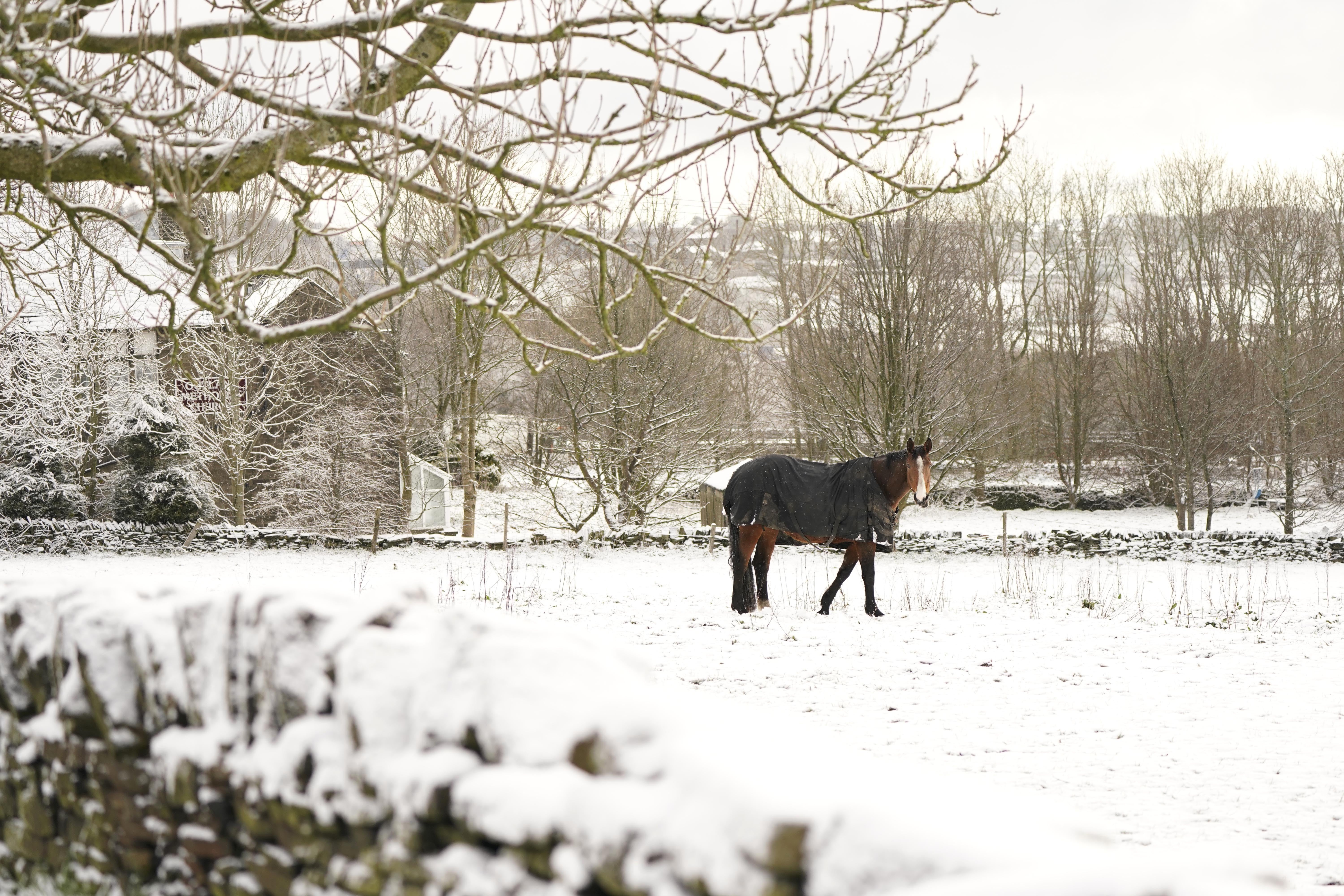
Sun, sleet and single figure temperatures have been forecast for much of the UK on the first day of April.
North-eastern areas will be the worst hit by the wintry weather, and the Met Office has issued a yellow weather warning for ice during the early morning – including rush hour.
The warning – which covers north-east England, east Scotland and the Shetland Islands until 10am – means frosty surfaces could cause injuries from slips and falls, as well as travel disruption.
A separate yellow warning for snow and ice also covers a small pocket of south-east England until 10am.
Rain showers broken by intermittent patches of wintry sunshine are forecast for much of the rest of the UK.
The Environment Agency has issued two flood warnings and one flood alert for areas along the River Thames.
Flooding is “expected” at Coalhouse Point on the river in Essex, and is “possible” in the areas between Putney Bridge and Teddington Weir in west London.
After the mercury drops below freezing overnight across the UK, temperatures are forecast to reach highs of 7C and 8C across the UK on Friday and Saturday, increasing to 9C and 10C on Sunday.
In Canterbury, snow saw a county cricket warm-up match between Lancashire and Kent suspended and then cancelled on Thursday.
This follows last week’s sunshine when the mercury hit 20C in some places.