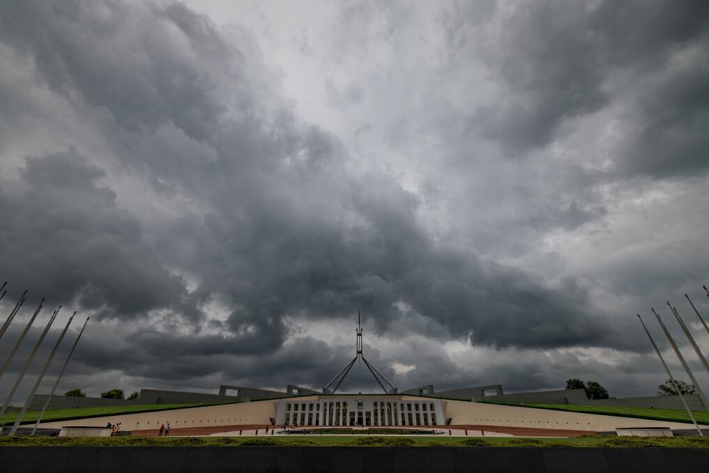
Thunderstorms are likely for the rest of the week, and January looks like being much more wet than usual.
The Bureau of Meteorology is pointing to Friday as particularly prone to storms across Canberra.
"We are looking at rain and storms across the ACT for the rest of the week," forecaster Gabrielle Woodhouse said.
She urged people to take extra care, particularly with the crossings of creeks which were more likely to be flooded and closed.
In a typical January, there is 47 millimetres of rain recorded at Canberra Airport but there has already been 55 millimetres in 2022, and we're not even halfway through.
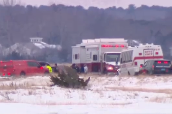
A good lashing of that rain came down last week when severe storms took down power cables and blacked out thousands of homes in the northern parts of Canberra and across the border in NSW.
The emergency services got hundreds of calls as power lines and trees fell.
On top of the current stream of storms on the way, humidity has been high. This muggy air is likely to continue, according to the weather forecasters.
The spring and early summer have broken records: last November was the ACT's wettest November on record. Last year was Australia's coolest year in nearly a decade.
Meteorologists blame La Nina, the phenomenon where water in the eastern Pacific is cooler compared with that in the western part.
The result is strong winds and water being sucked into the air and deposited over eastern Australia. It is not caused by global warming.
"In eastern Australia, the average December-March rainfall during La Nina years is 20 per cent higher than the long-term average, with eight of the ten wettest such periods occurring during La Nina years," the bureau said.
Its forecasters thought the phenomenon could last through until the autumn.
Bureau climatologist Simon Grainger said the conditions had allowed a recovery from the east coast drought.
"After three years of drought from 2017 to 2019, above average rainfall last year resulted in a welcome recharge of our water storages but also some significant flooding to eastern Australia," Dr Grainger said.