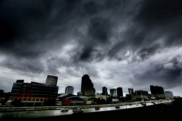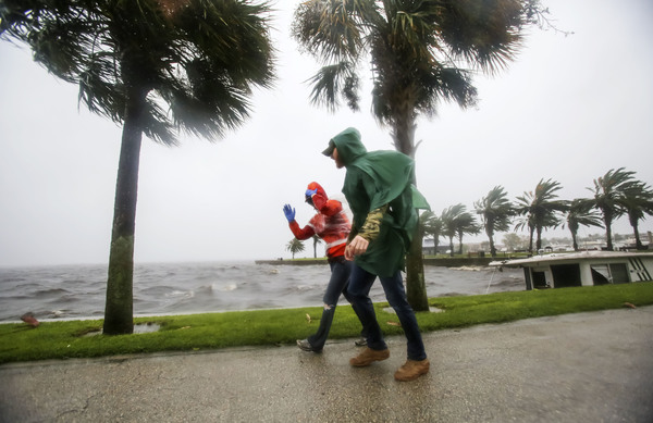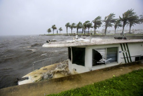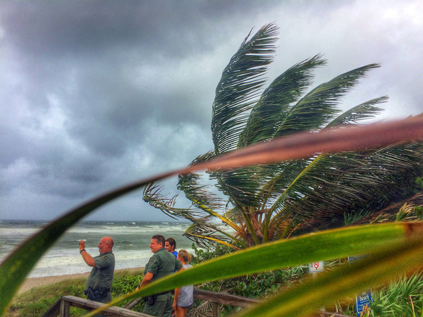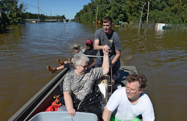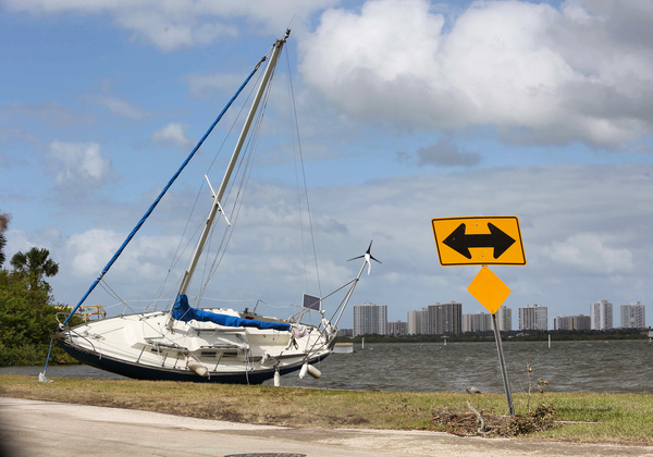
FORT LAUDERDALE, Fla. _ Strong winds, heavy rains and a dangerous storm surge were beginning to spread over the Bahamas Wednesday from Category 3 Hurricane Matthew, which is tracking north toward the east coast of Florida, according to the National Hurricane Center.
Matthew slightly weakened Wednesday morning but "some slight strengthening is forecast during the next couple of days," according to the hurricane center's 8 a.m. advisory.
The latest information puts Matthew about 45 miles northeast of Cabo Lucrecia, Cuba with maximum sustained winds of 115 mph as the storm moves northwest at 10 mph.
Hurricane-force winds extend up to 40 miles from the storm's center, and tropical-force winds extend up to 160 miles.
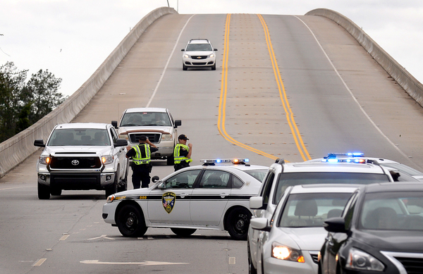
Hurricane watches for South Florida were upgraded to hurricane warnings late Tuesday night, a change that indicates hurricane conditions are expected within the next 36 hours.
As Hurricane Matthew's core passed over eastern Cuba, the National Hurricane Center set the warnings from Golden Beach in northern Miami-Dade County through Broward County and Palm Beach County north to Brevard County. A warning was also issued for Lake Okeechobee.
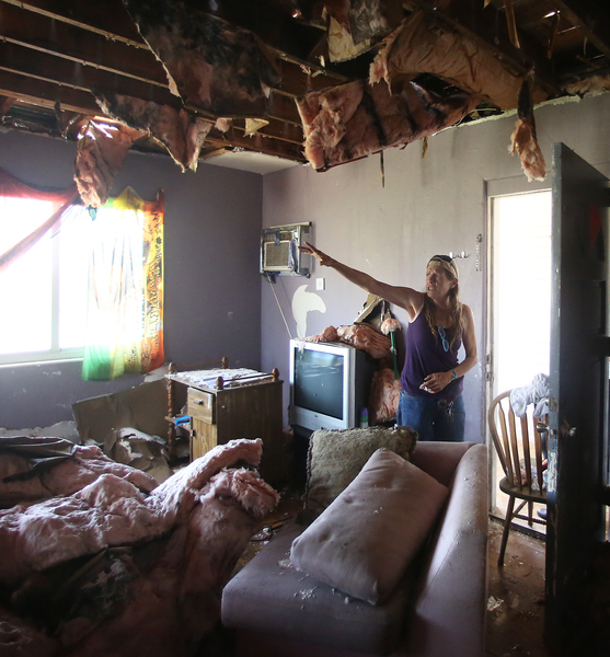
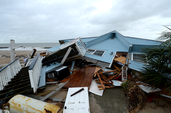
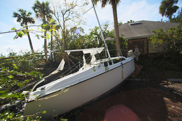
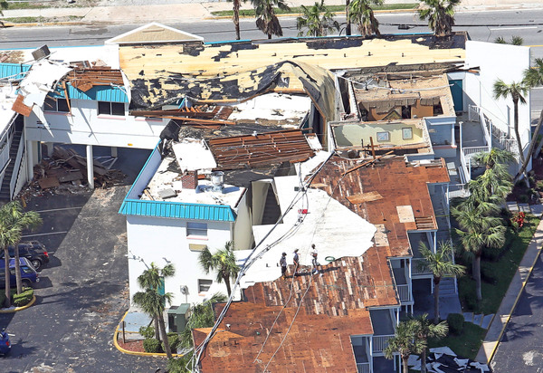
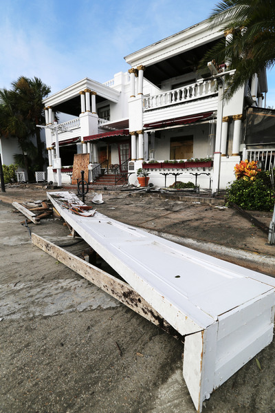
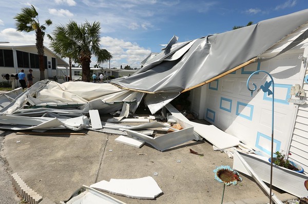
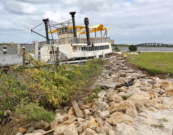
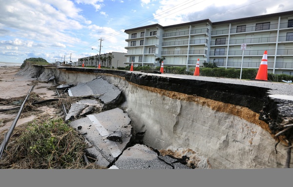
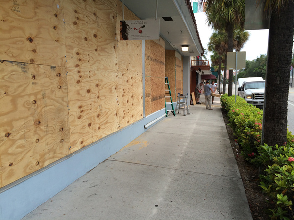
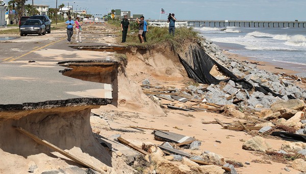
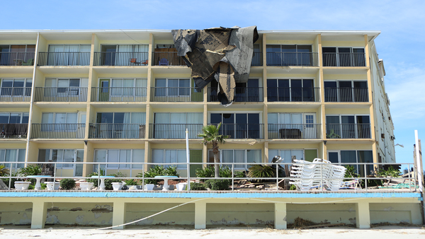
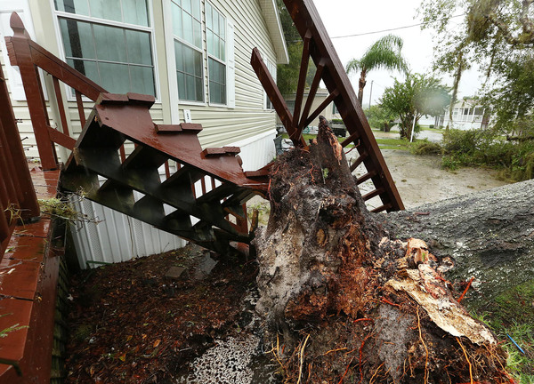
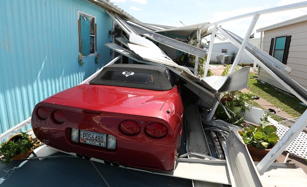
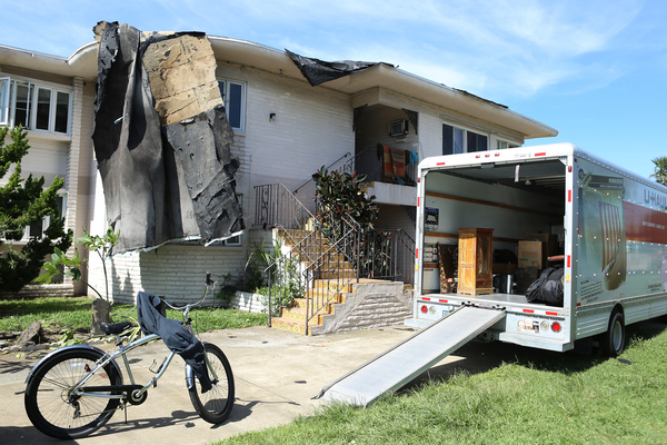
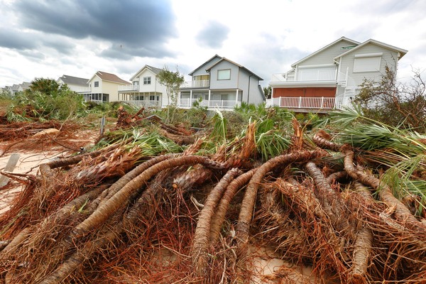
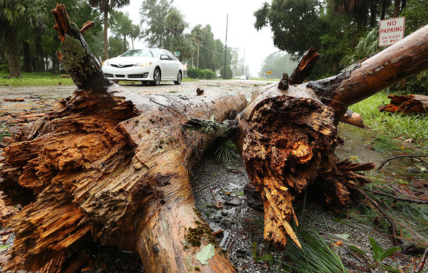
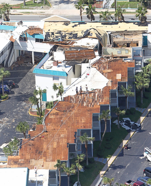
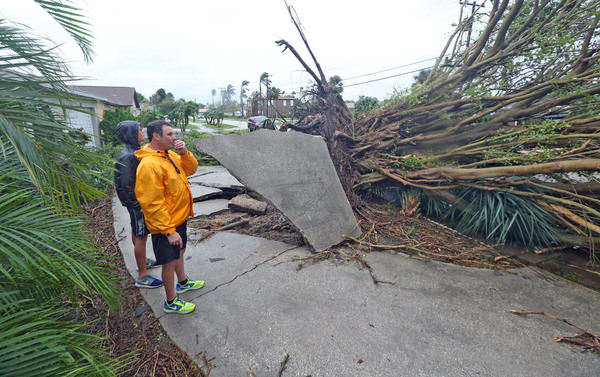
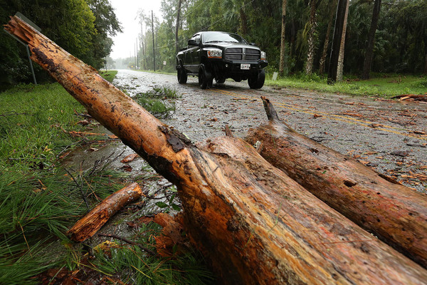
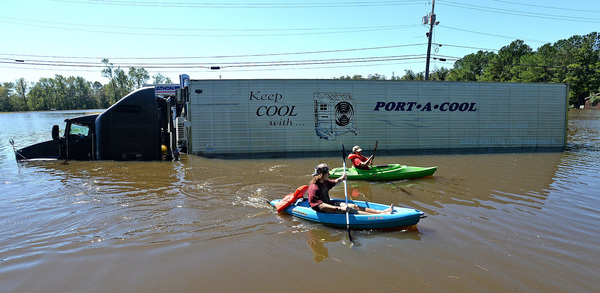
The possibility that South Florida could be struck by a storm of at least Category 3 strength represents the greatest hurricane threat to the region in many years. A Category 3 storm, which produces winds of 111-129 miles per hour, is capable of causing "devastating" damage, according to the hurricane center.
"The eye of the storm continues to move closer to our state," Gov. Rick Scott said in a statement Tuesday night. "There are now some forecasts that put a direct Category 4 hit on Florida. Regardless if there is a direct hit or not, the impacts will be devastating. I cannot emphasize it enough that everyone in our state must prepare now for a direct hit."
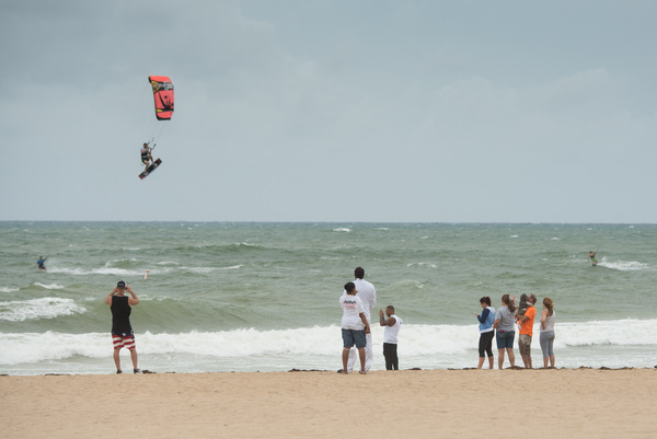
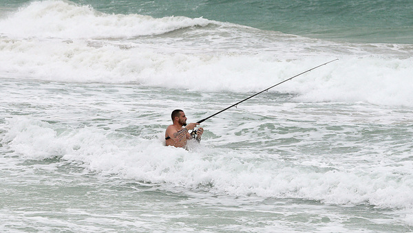
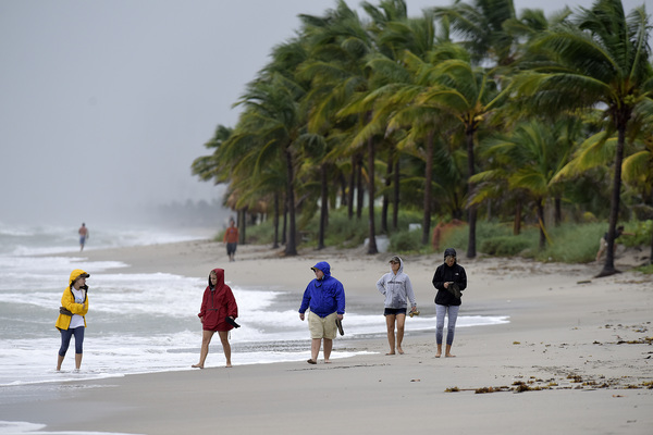
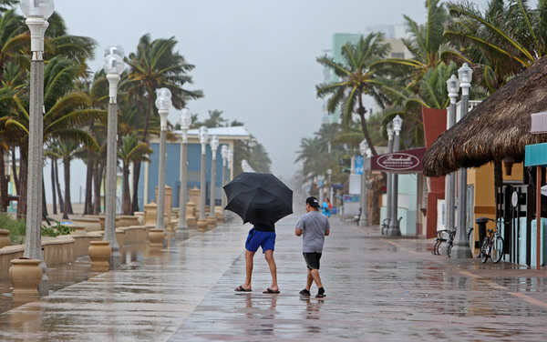
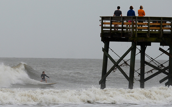
No one knows for sure that the hurricane will strike South Florida, and the cone of possible tracks for the storm show it could pass offshore. But at a minimum, the storm is expected to bring tropical storm-force winds to the region.
The Broward and Palm Beach county school districts announced plans to close Thursday and Friday. Lynn University cancelled classes for Wednesday evening, Thursday and Friday. Florida Atlantic University plans an announcement Wednesday morning,
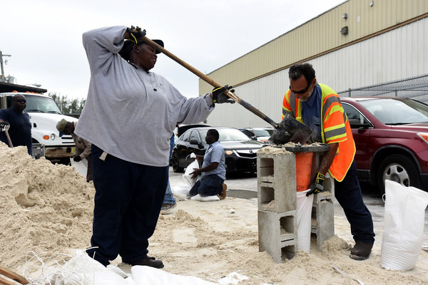
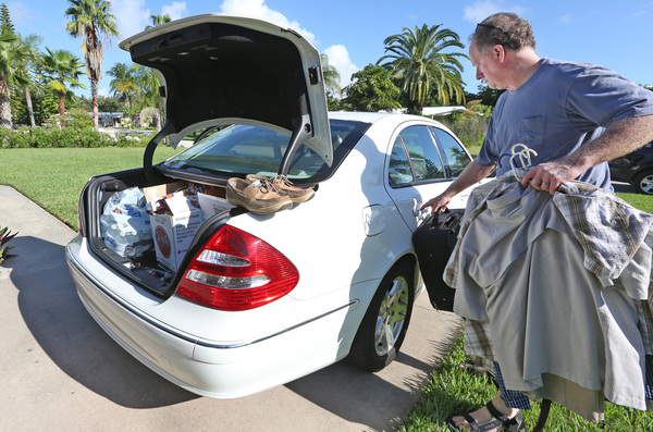
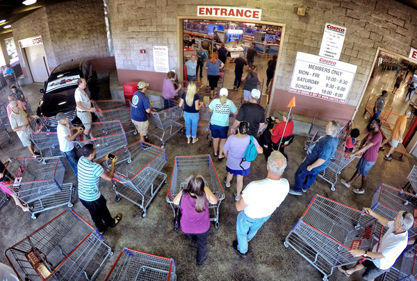
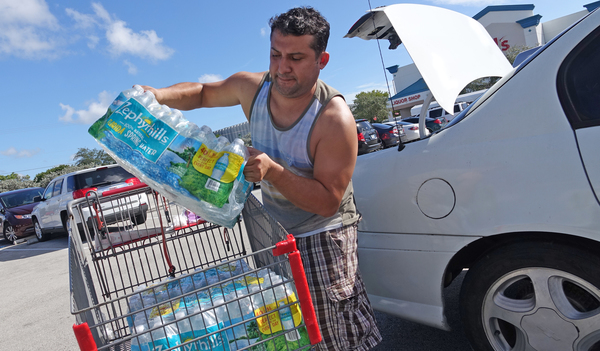
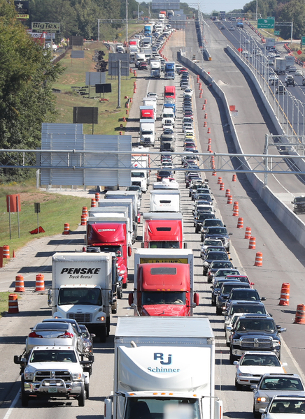
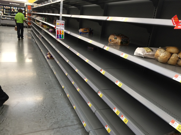
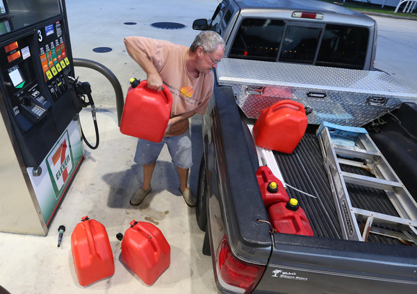
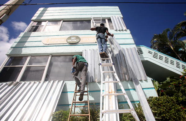
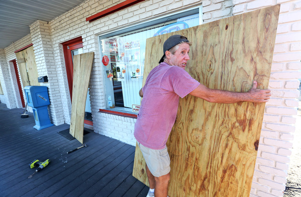
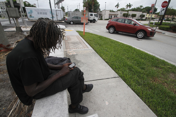
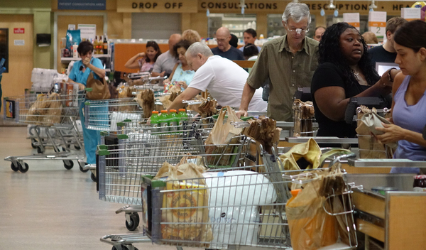
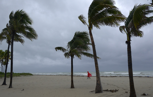
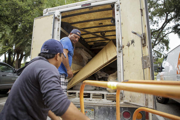
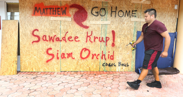
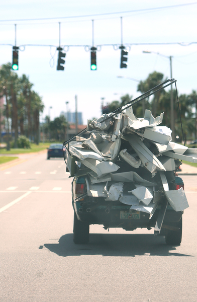
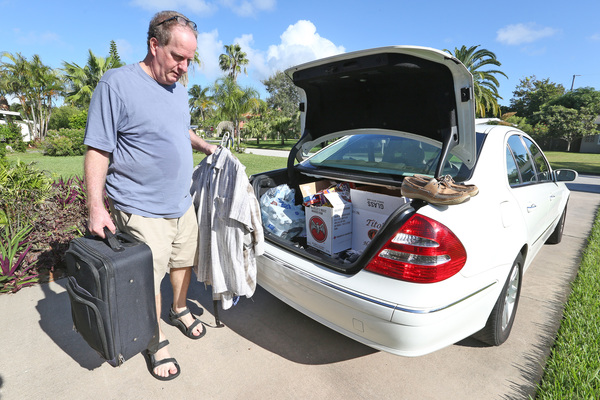
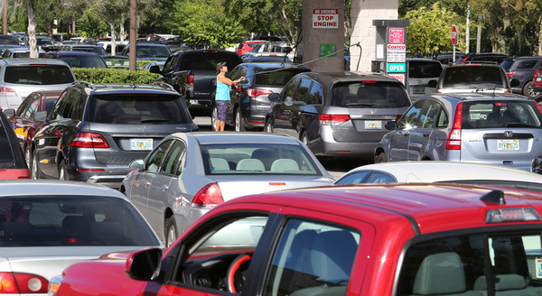
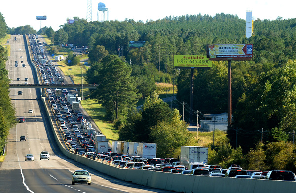
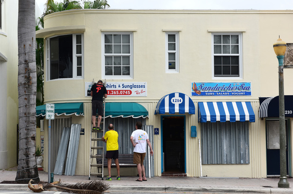
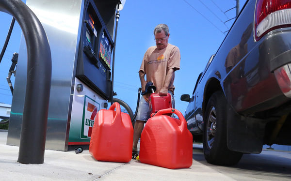
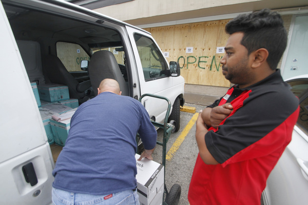
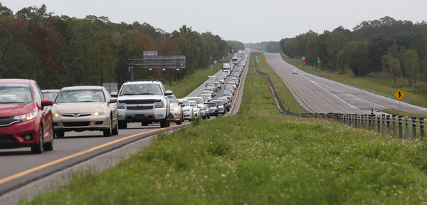
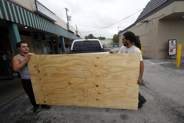
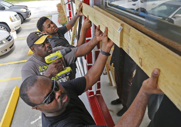
As news of the worsening threat spread Tuesday, shoppers emptied stores of bottled water, batteries, non-perishable food and other supplies.
"We should take hurricanes seriously," said Neville Robinson, who was loading bags of crackers, bread, fruit and nuts into his car outside a Publix in Pembroke Pines. "Not joke about it."
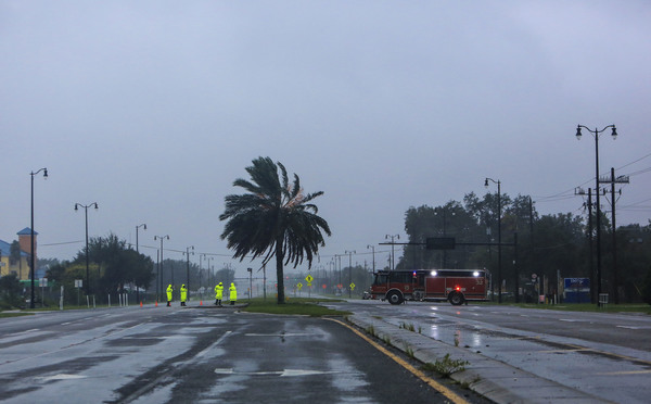
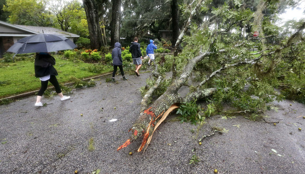
Hurricane-force winds are expected within the area by late Thursday, with tropical-force winds appearing by early Thursday.
Because the storm's projected path runs roughly parallel to the coast, the hurricane center said it is very difficult to predict if and when hurricane-force winds could strike an area, since a small shift east or west could make a big difference.
Palm Beach County will decide Wednesday whether to issue evacuation orders, County Administrator Verdenia Baker said.
A slight deviation in the storm's projected path could bring winds of up to Category 4 strength to South Florida, said Bill Johnson, director of emergency management for Palm Beach County.
"A Category 4 hurricane could be pretty devastating for Palm Beach County," he said. "That's why it's important we are prepared. We need to take this very seriously."
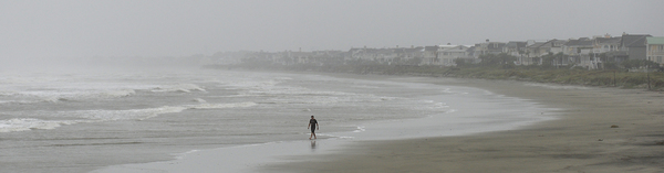
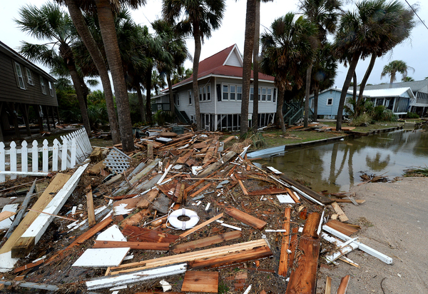
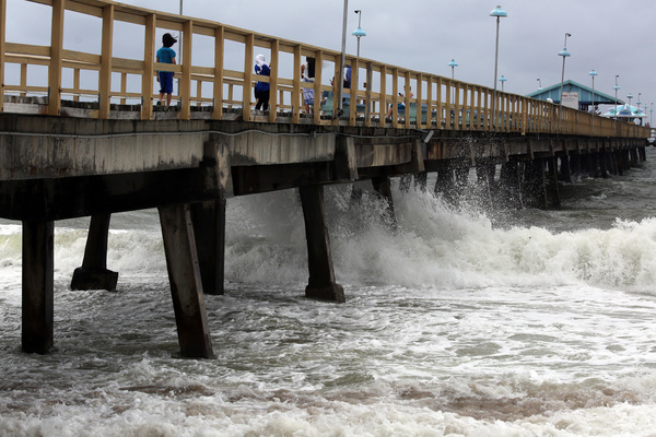
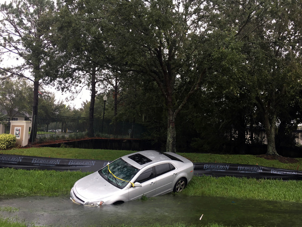
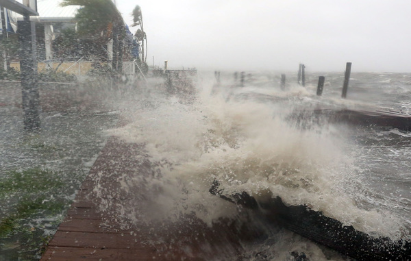
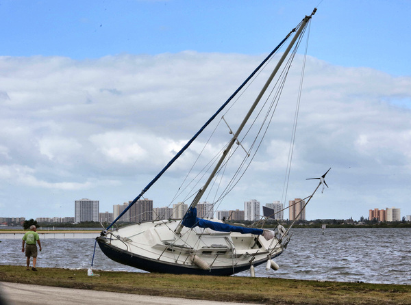
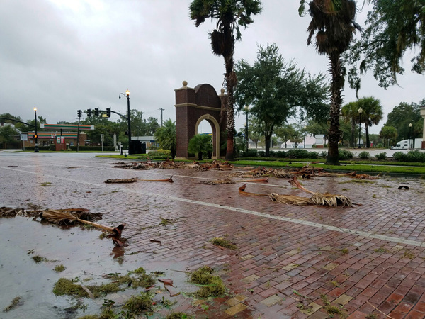
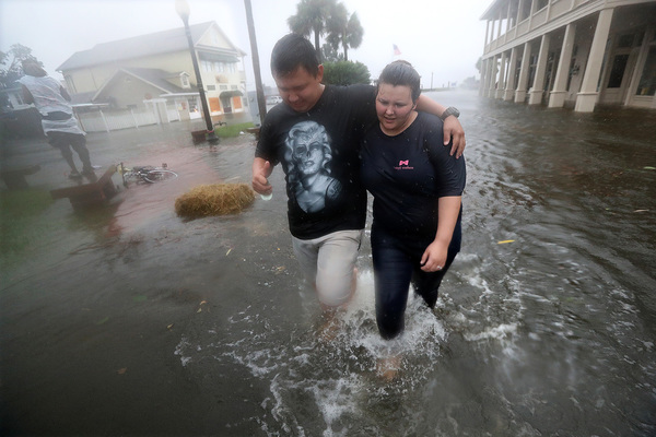
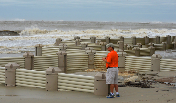
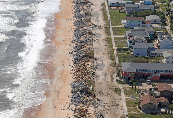
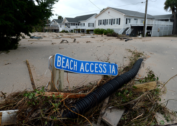
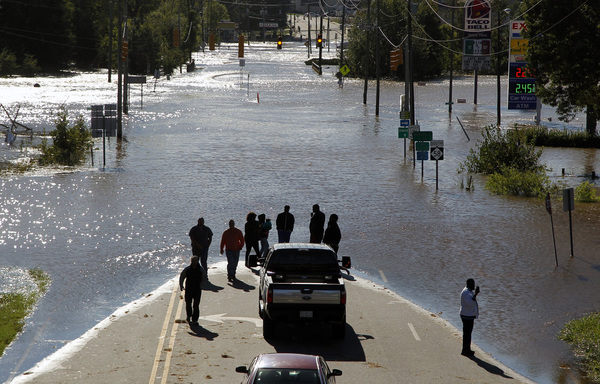
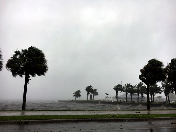
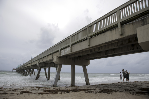
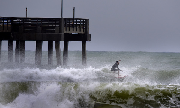
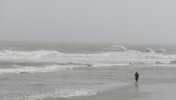
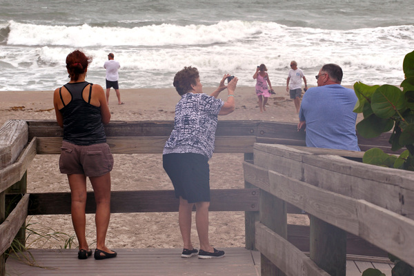
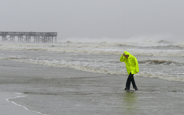
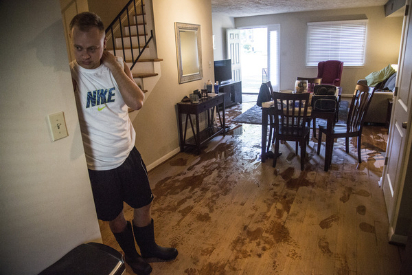
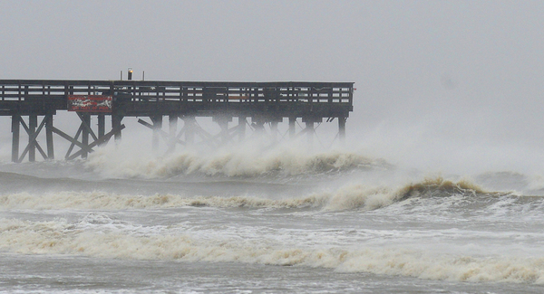
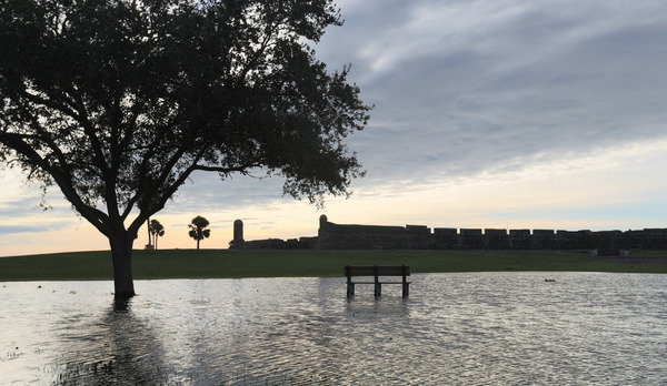
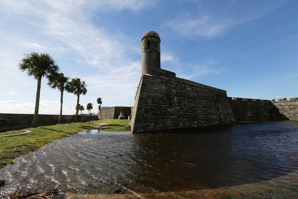
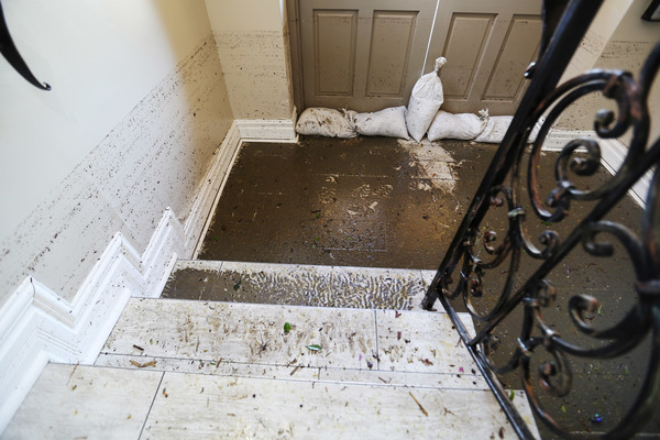
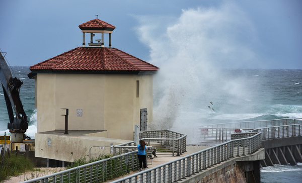
Although wind is the major hazard, the National Hurricane Center said northern Palm Beach County and coastal areas to the north could experience dangerous storm surge, as the wind pushes ocean water onto land.
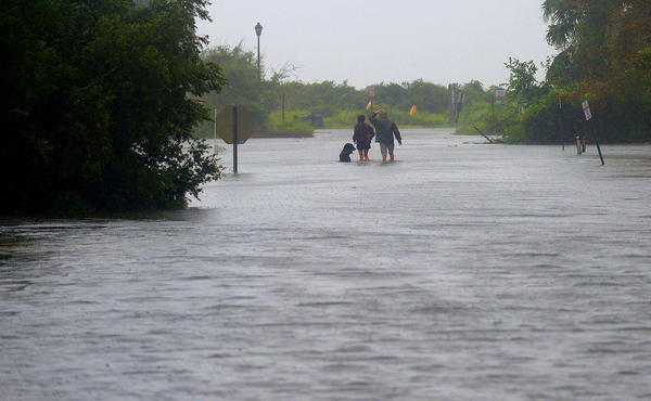
"There is a danger of life-threatening inundation during the next 36 hours along the Florida east coast from North Palm Beach to the Sebastian Inlet," the advisory said.
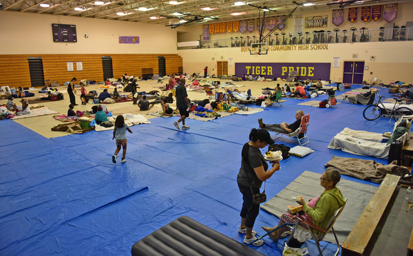
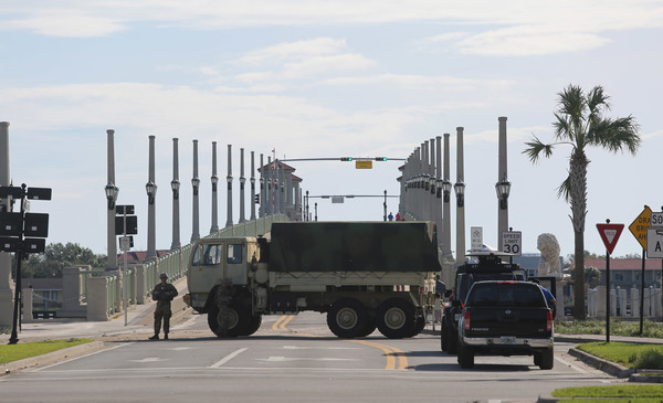
Broward County will open shelters Wednesday night, anticipating heavy winds arriving Thursday. Broward Mayor Marty Kiar said shelters will be available for children, people with special needs, people with pets and the general population, including people who are homeless.
"This is very serious," Kiar said, urging residents not to be complacent. "You need to prepare and protect you and your families."
Despite the increasingly gloomy forecasts, the National Weather Service in Miami said earlier Tuesday evening that South Florida still appears likely to avoid a direct hit.
The weather service put the odds for hurricane-force winds of at least 74 mph at 20-25 percent for Palm Beach County, 15-20 percent for Broward County and 10-15 percent for Miami-Dade County.
"At this time hurricane force winds are still unlikely for mainland South Florida," the weather service said Tuesday evening. "However, there is an increasing chance, particularly for Broward/Palm Beach north. If this threat materializes main period of concern would be Thursday or Thursday night."
But the weather service said all three counties were likely to experience at least tropical-force winds, which run from 39-73 mph.
The storm's forecast track, which had barely touched South Florida in previous days, shifted sharply in the region's direction late Monday afternoon.
The hurricane center, which had previously thought the storm would weaken significantly as it passed over Cuba, now projects it to remain a major hurricane of Category 3 strength or higher, for its entire projected course.

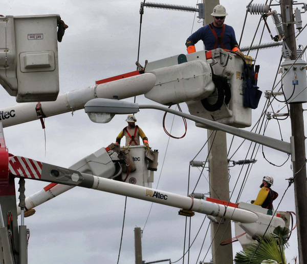
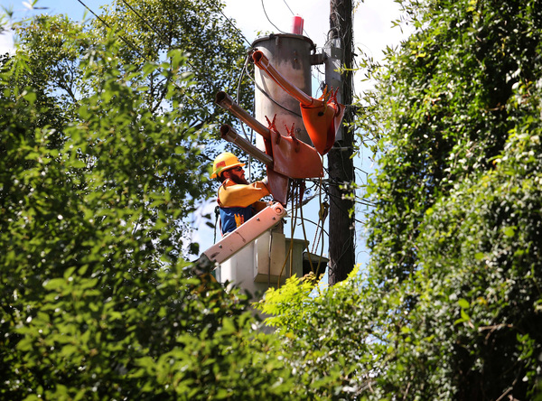
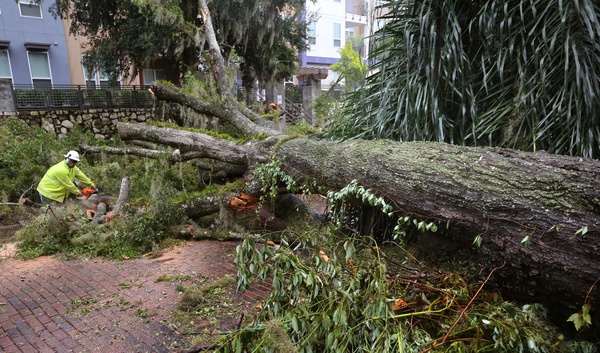
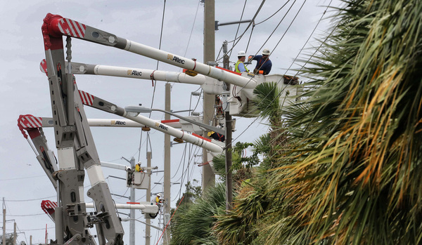
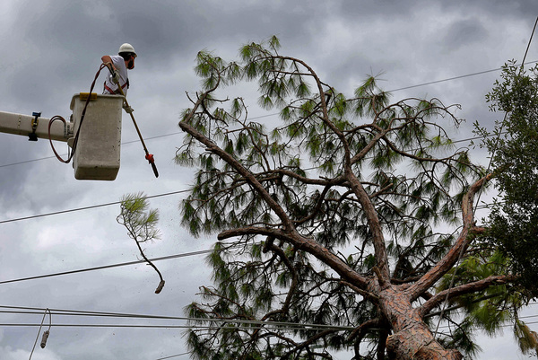
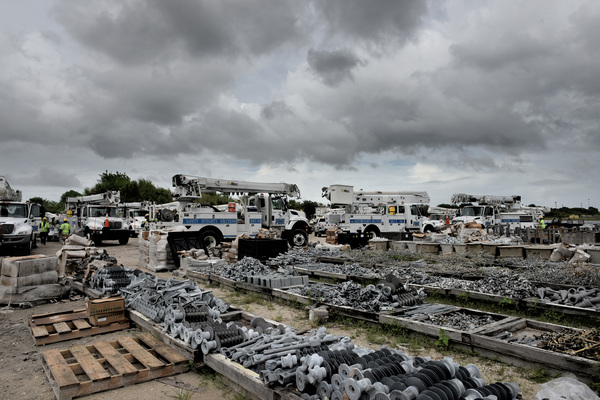
Florida Power & Light Co. announced it was activating its emergency response plan, preparing to deploy 4,000 workers to restore power.
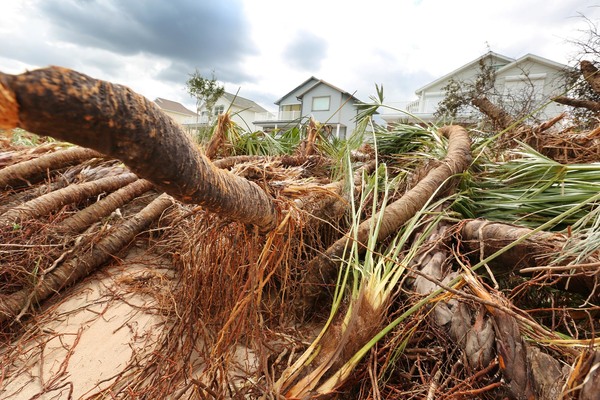
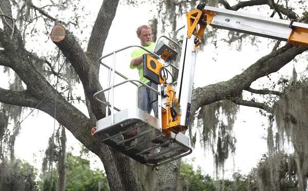
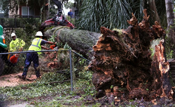
"This is an extremely powerful and dangerous storm and we fully anticipate excess debris, such as trees, branches and palm fronds, to cause power outages along the eastern portion of our service area," FPL president Eric Silagy said in a statement.
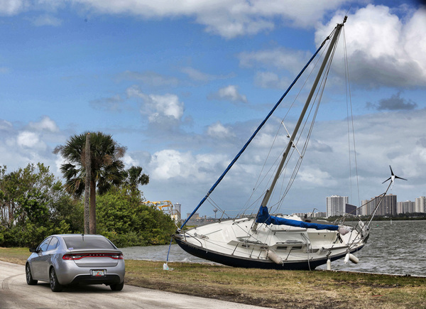
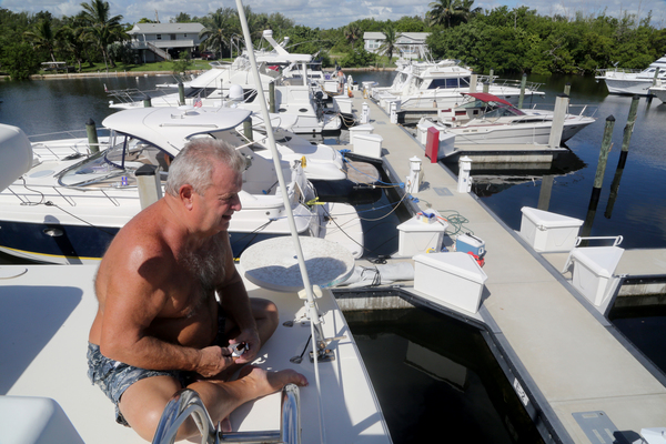
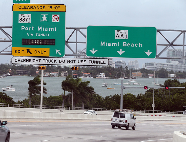
The U.S. Coast Guard set "port condition x-ray" for southeast Florida ports, requiring vessels 500 tons or larger to prepare to put to sea and other vessels to get permission to remain in port.