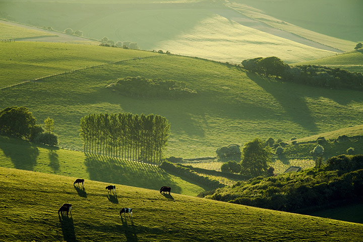
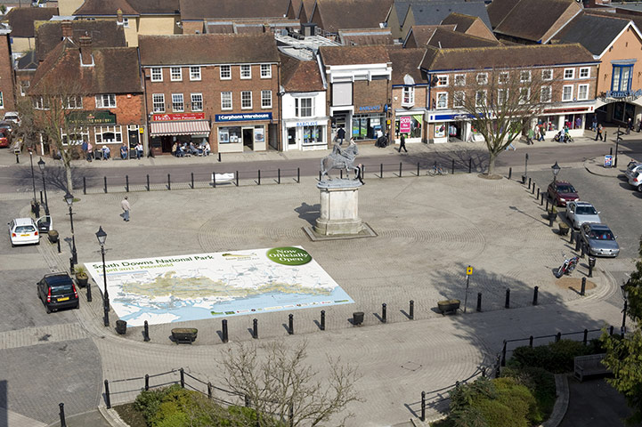
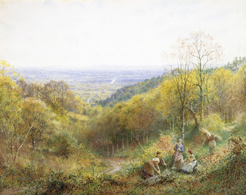
South Downs, TelscombePhotograph: Slawek Staszczuk / PPL/South Downs National Park AuthorityFrom the tower of St Peter’s Church, Petersfield onto the map of the New South Downs national park, March 30, 2011Photograph: CHRIS PEARSALL/PRAlways an inspiration, the South Downs was the subject of a water colour by local artist Charles Gregory in the late 19th centuryPhotograph: Corbis
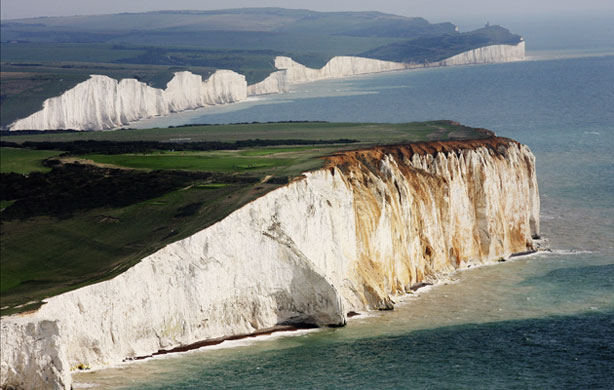
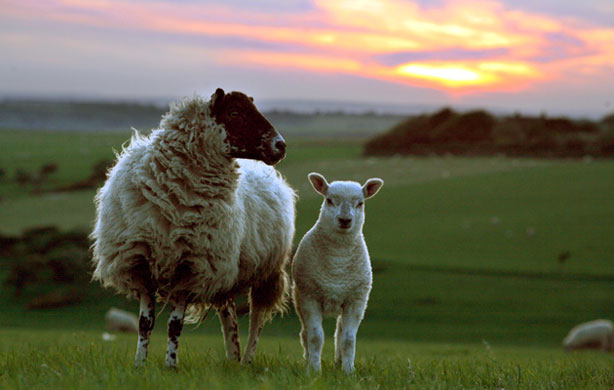
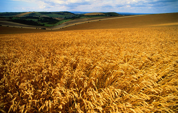
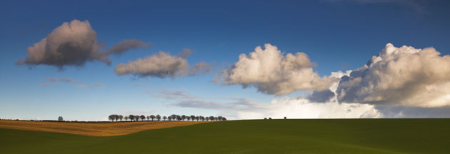
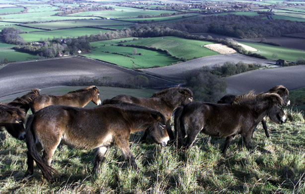
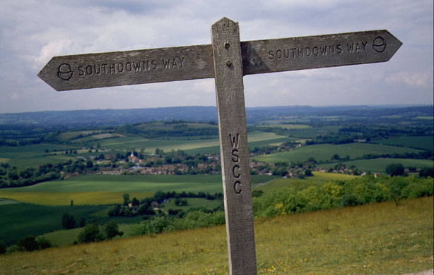
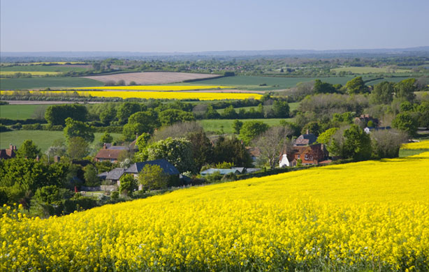
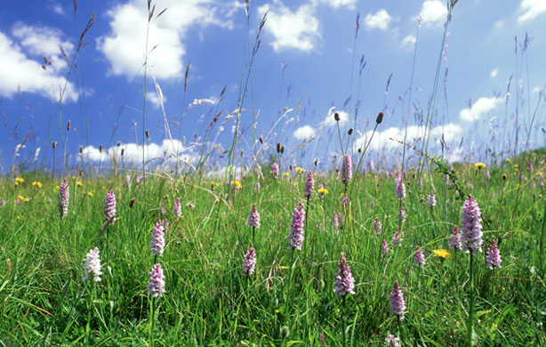
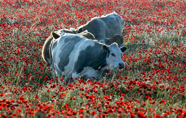
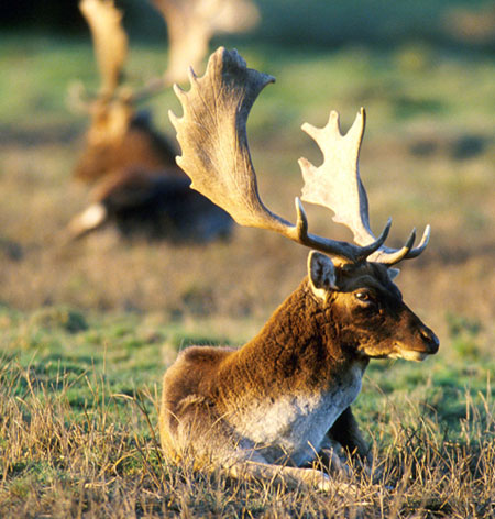
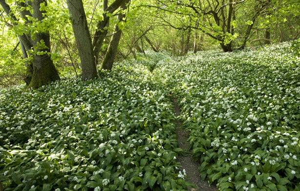
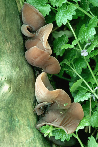
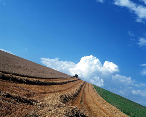
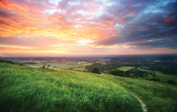
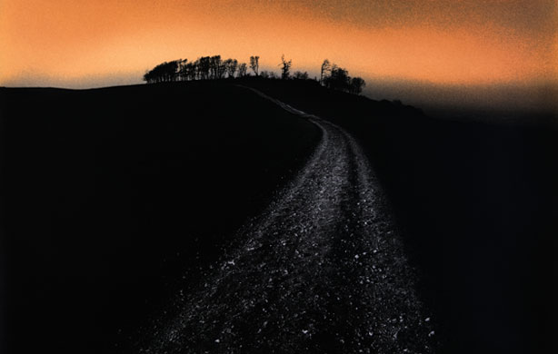
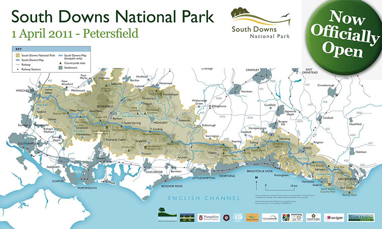
Between Seaford and Eastbourne the white chalk cliffs of the Seven Sisters mark the southern boundaryPhotograph: David Goddard/Getty ImagesSheep at sunset where the South Downs meets Beachy Head above EastbournePhotograph: Haydn West/Rex FeaturesBucolic views across the downs in SussexPhotograph: Paul Harris/Getty imagesCheesefoot Head in Hampshire Photograph: Adam Burton/Rex FeaturesSome of the downs is home to Exmoor ponies Photograph: Frank BaronA wooden signpost marks the route of the South Downs Way across a hill above the village of South Harting in West SussexPhotograph: Paul Seheult/CorbisThe vivid yellow of rapeseed crops colours the viewPhotograph: David C. Tomlinson/Getty ImagesRarer species of plant inhabit the downs such as these common spotted orchids (Dactylorhiza fuchsii)Photograph: Oxford Scientific/Getty ImagesCows among the poppiesPhotograph: Gerry Penny/EPA/CorbisWild herds of fallow deer roam parts of the downsPhotograph: David Cole /Rex FeaturesWild garlicPhotograph: Duncan McNicol/Getty ImagesJew's ear fungus (Auricularia auricula-judae)Photograph: George McCarthy/CorbisMuch of the land is used for farmingPhotograph: Jonathan Syer/Rex FeaturesSunsetPhotograph: Monsoon/CorbisBeech trees on top of the iron age hill fort of Chanctonbury Ring, planted by Charles Goring in 1760, were damaged by the 1987 hurricane and replantedPhotograph: Peter Greenhalf/CorbisSouth downs national park mapPhotograph: South Downs National Park Authority
Sign up to read this article
Read news from 100’s of titles, curated specifically for you.