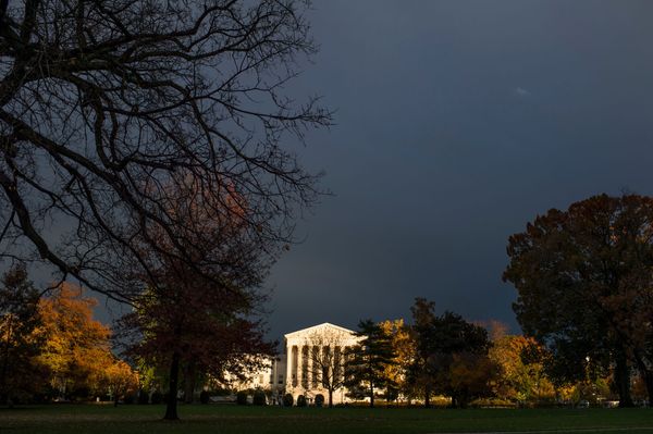
A series of cold fronts crossing south-eastern Australia in the last week of winter are expected to bring flurries of snow across four states.
“We’ve got a series of fronts and troughs that will keep sweeping across south-eastern parts of the country, bringing a burst of wet and windy weather,” said Sarah Scully, a senior meteorologist at the Bureau of Meteorology.
A particularly chilly front on Friday and Saturday was expected to drag cold air from down towards Antarctica and push it into central and northern Australia.
Alpine areas in Victoria and New South Wales were expecting between 50cm and 80cm of snow – even up to a metre – between Wednesday afternoon and Saturday.
Sign up: AU Breaking News email
Snow levels were likely to drop to low elevations by Friday and Saturday, reaching down to 300m in Tasmania, 600m in Victoria and 700m in NSW.
Snow was forecast for areas in Victoria including the western parts of the Grampians, the Macedon Ranges and potentially the Dandenong Ranges in Melbourne’s east. In NSW, flurries were forecast in the central tablelands as far north as Orange.
Subzero temperatures were forecast across the Australian Alps – including Falls Creek, Mount Buller, Mount Hotham and the Snowy Mountains – from Thursday to Saturday.
There was the possibility of a dusting of snow in South Australia – in the Flinders Ranges, about 200km north of Adelaide, and even the Mount Lofty Ranges, east of the city – something Scully said had not happened since 2022.
She said there could also be snow at the top of Kunanyi/Mount Wellington in Hobart.
The first of the cold fronts moved into NSW on Wednesday, moving up the coast in the afternoon. Another followed close behind, pushing into south-western Victoria with a surge of strong winds. A smaller trough was possible on Thursday before a stronger front and potential low-pressure system on Friday and Saturday.
Between each front there were likely to be lulls with clearer weather, Scully said.
Overall, she said, it signalled a chilly start to spring for much of the country, including large parts of the tropics, with temperatures as much as 12C below average.
In contrast, sea surface temperatures remained much warmer than average across north-east, south-east and south-western Australia.
Last month they were more than 0.56C above average – making it the warmest July since 1900. Globally, sea surface temperatures in July were the third warmest on record.
Warmer oceans, according to the BoM, can mean “increased moisture and energy, that can enhance the severity of storms and rain systems”.
The cold fronts crossing Australia’s south-east, including NSW, were bringing more wet and windy weather but Scully said there was no further rainfall expected for the northern tablelands region hit by major flooding.
She described this as a “massive relief”, given that a flood warning remained in place for the Namoi River in the area on Wednesday afternoon.
On Wednesday severe weather warnings were in place for damaging winds near Geelong and over the eastern ranges in Victoria, and in south-eastern parts of NSW.