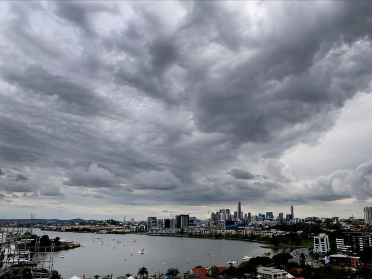
Queensland is due to be battered by wild weather in its north and south, with large hail, damaging winds and heavy rainfall possible for the heavily populated southeast.
Severe thunderstorms are most likely to develop in the Gold Coast hinterland, Brisbane, Ipswich and Sunshine Coast on Saturday afternoon and evening, the Bureau of Meteorology says.
"(The storms have) the potential to bring large hail, damaging winds and heavy rainfall," meteorologist Matt Marshall said.
Severe weather warnings are expected to be issued throughout the afternoon.
The storm activity will bring a cool change to Brisbane, where temperatures hit 34.9C about midday.
But parts of the central interior and northwest will have to wait a few more days for a reprieve from the heat, Mr Marshall said.
Mount Isa and Cloncurry both moved past 37C about midday while Trepell recorded 39.1C.
A tropical low developing off the state's northeast coast is also due to bring heavy rainfall and strong winds back to the North Tropical Coast.
An initial flood watch was in place for coastal areas between Cooktown and Ingham.
"This system is dynamic and is being monitored closely," Mr Marshall said.
"There is currently a low chance of it intensifying into a tropical cyclone."