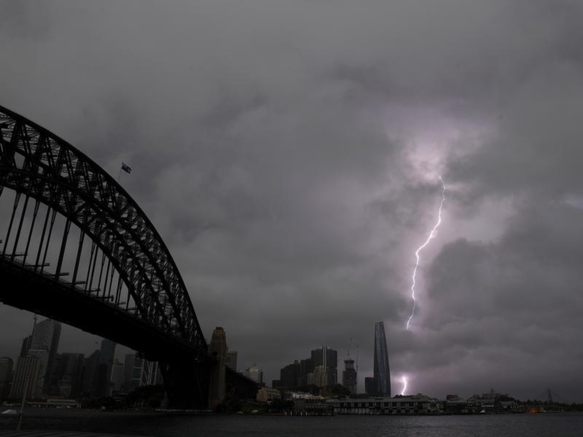
Thunderstorms lashing NSW have seen hailstones larger than five centimetres fall and even a tornado warning issued.
The storms were most intense over Sydney and the Lower Hunter, but hail was reported all the way between Sydney and Cowra in the state's central west.
Those stones mostly measured between three and five centimetres, but some were even larger.
The conditions over western Sydney were particularly serious, with meteorologists seeing all the ingredients for a "very, very dangerous supercell", said the Bureau of Meteorology's Gabrielle Woodhouse.
About 4.30pm, the bureau issued a warning for a possible tornado over western Sydney.
It's not yet known whether an apparent funnel cloud touched the ground or not.
Ms Woodhouse said the storm was "really dangerous".
Some 33mm of rain fell at Woodville Golf Course at Canterbury in about a quarter of an hour.
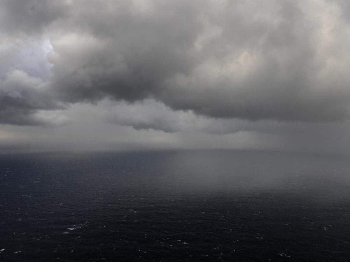
By Saturday evening, the most dangerous storm had passed out to sea, but the bureau is still warning of threatening storms in the Sydney area and advises residents to monitor the radar on its website.
Early-morning thunderstorms deposited up to 30mm on parts of Canberra, with more likely Thursday evening.