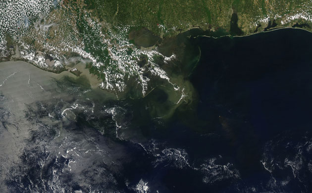
Photograph: Aqua/MODIS/NASA
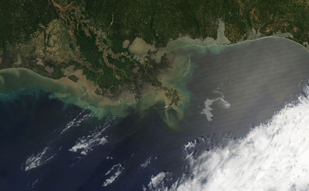
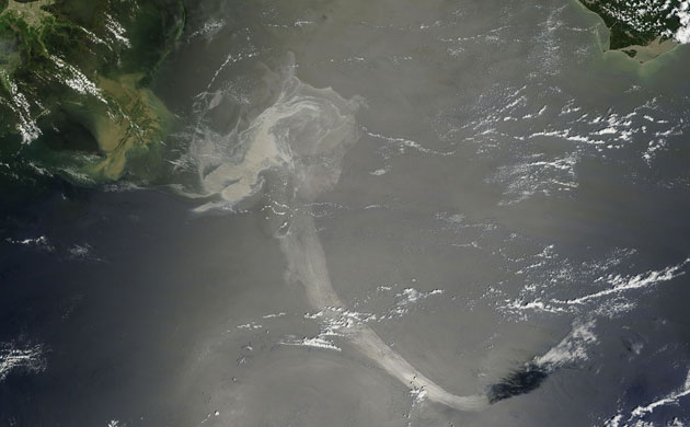
Photograph: Aqua/MODIS/NASA
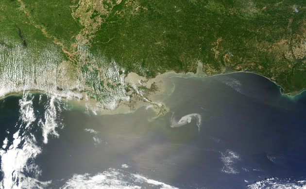
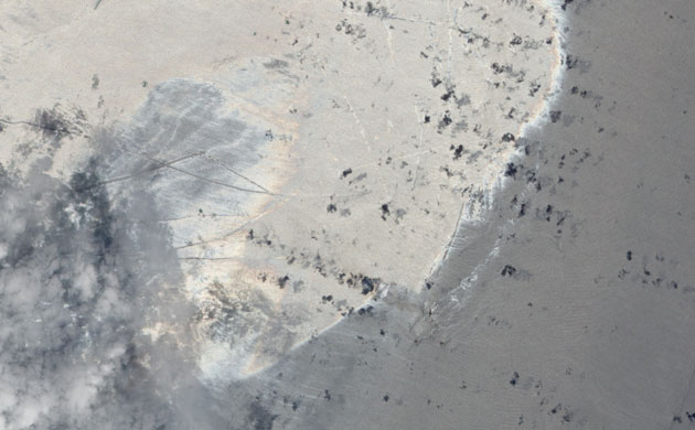
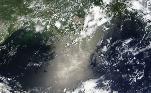
Photograph: Terra/MODIS/NASA
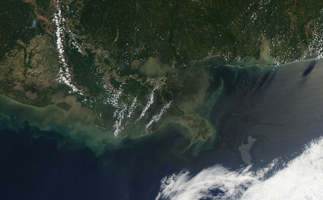
Photograph: Aqua/MODIS/NASA

Photograph: Terra/MODIS/NASA
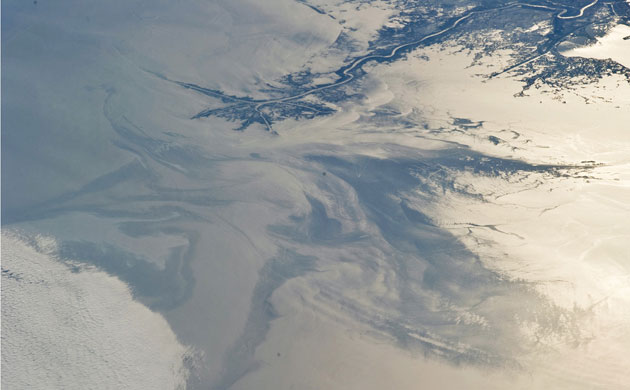
Photograph: ISS/NASA
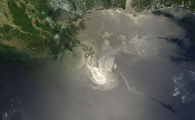
Photograph: Terra/MODIS/NASA
Photograph: EO-1/ALI/NASA
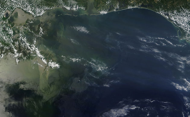
Photograph: Terra/MODIS/NASA
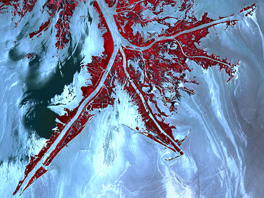
Photograph: terra/ASTER/NASA
Photograph: NASA
Photograph: Terra/MODIS/NASA

Photograph: Aqua/MODIS/NASA